Tropical Storm Emily update plus Surf Report Wednesday morning (at 8:45 Am) and Surf Forecast for Cape Canaveral n Cocoa Beach (posted August 03, 2011)


Emily looks to be best positioned for offshore winds and overhead for Sunday.  Compliments of Stormpulse.com
Emily looks to be best positioned for offshore winds and overhead for Sunday. Compliments of Stormpulse.com

Okay, Emily in brief.

Thursday morning, possible late morning ground swell, but that may be iffy.  It is not really from Emily, but it could be waist to chest, ssw offshore winds.

Friday morning, this is part of Emily, and should be chest high (down south of course), ssw to sw winds.  Emily stalls out here and size does not build until afternoon Saturday.

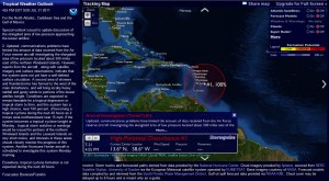
Saturday morning Emily is building , it may be waist to chest with light onshore winds early and sloppy strong onshore winds in the afternoon, and by late afternoon and evening it will get big probably overhead a little down south but be choppy all day, cause when a hurricane or TS is straight off our coast the winds have not come around offshore yet.  (SEE PICTURE TO SEE STORM LOCATION)

Sunday morning, should be offshore, overhead, probably west winds offshore brisk in the 8 to 15 mph winds, but my guess, 2 foot overhead down south and head high plus at the Cape.

The winds I can’t accurately predict until 36 hours ahead of the predicted time period I’m talking about.  So tonight I will give you some more accurate winds for Friday and Thursday and also if the first ground swell does actually hit the 120 buoy, or if we can only expect real waves for Sunday (offshore) and Saturday late afternoon big and onshore.

oldwaverider
Tropical Disturbance update plus Surf Report Sunday night (at 7:30 Pm) and Surf Forecast for Cape Canaveral n Cocoa Beach (posted August 01, 2011)


Tropical disturbance now with 35 mph winds, compliments of Stormpulse.com

1624 miles from Daytona it is.   It’s still only a disturbance but at least it is traveling WNW at 21 mph and has winds of 35 mph.

The first image showing the low pressure system is an improvement of strength over last night.

In the 2nd image, check out the winds on Sunday, its pretty funny, up to 40 plus mph.  We’ll see what happens, most of our great Canes have to come from the tip of Africa to really develop, but maybe we’ll have some fun with this one.

At least we may get a wind swell with some nice size 🙂

Something ridable from Thursday on perhaps.  Swell and wind chart from magicseaweed.com
Something ridable from Thursday on perhaps. Swell and wind chart from magicseaweed.com

Surf Report Sunday night (at 7:30 Pm) and Surf Forecast for Cape Canaveral n Cocoa Beach (posted July 31, 2011)


Stormpulse.com shows an elongated area of low pressure approaching the lesser antilles.

The fine art of “guessing surf” takes it late summer turn toward ‘Cane’ season….Maybe 🙂  But, this does have potential, feel free to click on the map to read up on the Tropical Disturbance.

At Stormpulse.com, quote “Conditions are expected to remain favorable for a tropical depression or tropical storm to form, and this system has a high chance, near 100 percent, of becoming a tropical cyclone during the next 48 hours as it moves west-northwestward near 15 mph.”  This was from their Sunday early evening report.

The image is the low pressure system as of 7 Pm Sunday night, about 321 miles SE of Antigua.

The models are showing that we could have a few days of chest high waves with some offshore winds, but….those are the models.  We’ll follow this thing to see if it does deliver to us for Thursday thru Monday.

Later,

oldwaverider

Surf Report Saturday night (at 7:30 Pm) and Surf Forecast for Cape Canaveral n Cocoa Beach (posted July 16, 2011)


Imagine this wave for Sunday morning ;) My buddy Rob surfing Costa Rica in June of 2008, at Ollies.
Imagine this wave for Sunday morning 😉 My buddy Rob surfing Costa Rica in June of 2008, at Ollies.

Our wind swell hit the 120 buoy around 11 Am this morning and has jumped up to 5.5 feet at 8 seconds from 3.3 feet at 7.

As long as the ESE winds prevail to bring the swell on in, I believe we will have some stomach to maybe chest high waves down south.  (maybe Lori Wilson, but best bet would be 2nd light and south)   This swell came at a fairly steep angle from the NE, though the winds have switched around to the ESE,  I would rather take my chances down south.

The winds are showing showing straight North from daybreak till 9 or 10 and then NE, so its a tough call.  2nd light and south with North winds would be onshore winds, but 4 to 7 degrees offshore at Lori Wilson to 4rth Street North.   But there is a chance the winds could go NNW or even NW, and since the winds are only 3 to 5 mph,  it may not really matter.

Anyhow, Sunday and Monday morning both look to be stomach to chest high,  Sunday with North winds until 10, and then onshore, and Monday is showing ENE to NE winds around 6 to 8 mph at daybreak so Sunday looks like the best day.

Whatever, at least we should have some waves to paddle out to and it is summer so count your blessings 🙂

If the winds do something funky and don’t bring the swell in, then go borrow a SUP 🙂

Hope you pick the right spot.  Have a great day !

oldwaverider


Surf Report Friday afternoon and Surf Forecast (at 2:00 Pm) for Cape Canaveral n Cocoa Beach (posted July 15, 2011), and Massive Swell update for Tasmania, Fiji, etc., Kelly Slater takes a detour to Fiji


Fijian Fire & Brimstone from MSW on Vimeo.

Massive and perfect swell to hit Fiji, (watch it full screen by clicking on the 4 little white arrows) the one I mentioned the other day that hit 49 feet at 17 seconds on the MagicSeaweed.com surf report. This one minute video shows a few awesome waves both face size and barrel, but first our local Swell coming in for Sunday, July 17th at our own East Coast of Brevard County, Florida.

Yeah, another swell rolling in from the NE ? what ? , in the summer, yup!

Okay, it is a wind swell as opposed to a ground swell, its only 3 to 4 foot wind swell but it could be fun and clean (light onshore winds Sunday morning and up till noonish), and Monday morning could be stomach to chest high and glassy based on data I have now . Don’t expect long lines cause it is a wind swell, and all this could be totally different data by Saturday, but……….it is summer so God is good to us. Monday could be stomach to chest high and glassy, so when Saturday night rolls around I will have more reliable wind direction data, which is always gonna be sketchy, but at least 50 % reliable anyhow 🙂   By the way,  Saturday could have something hitting the beaches for us also, but I’m only excited about Sunday and Monday.

Recap, Sunday morning and day, waist to chest high and semi-clean 5 to 8 mph East to ENE winds. Monday, waist to chest high and light offshore winds until maybe mid-morning. Saturday night I will have more reliable wind data for Monday morning. Plus, Saturday night I will give you wind data for Sunday morning.

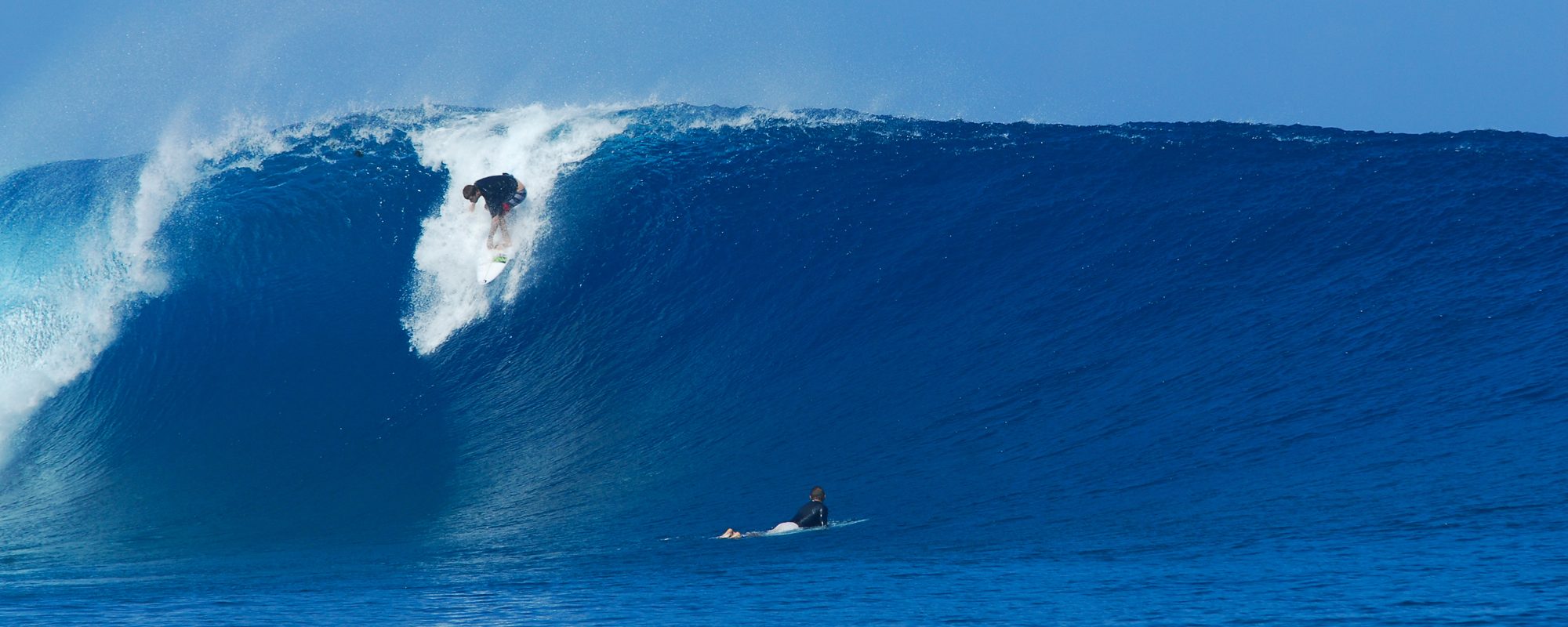
Kelly Slater taking a detour from the J-Bay event on the ASP tour, to catch the perfect and massive swell to hit Fiji, compliments of Magicseaweed.com, and photographer © Stu Gibson - 2011

The Video above is from Cloudbreak, Fiji.  Kelly Slater skipped the ASP tour event at J-Bay to make this massive and perfect swell that hit Fiji.  Kelly in the picture below the video from Magicseaweed.com.

We’ll keep ya posted the next few days to see how the wind swell pans out.

Later,

oldwaverider