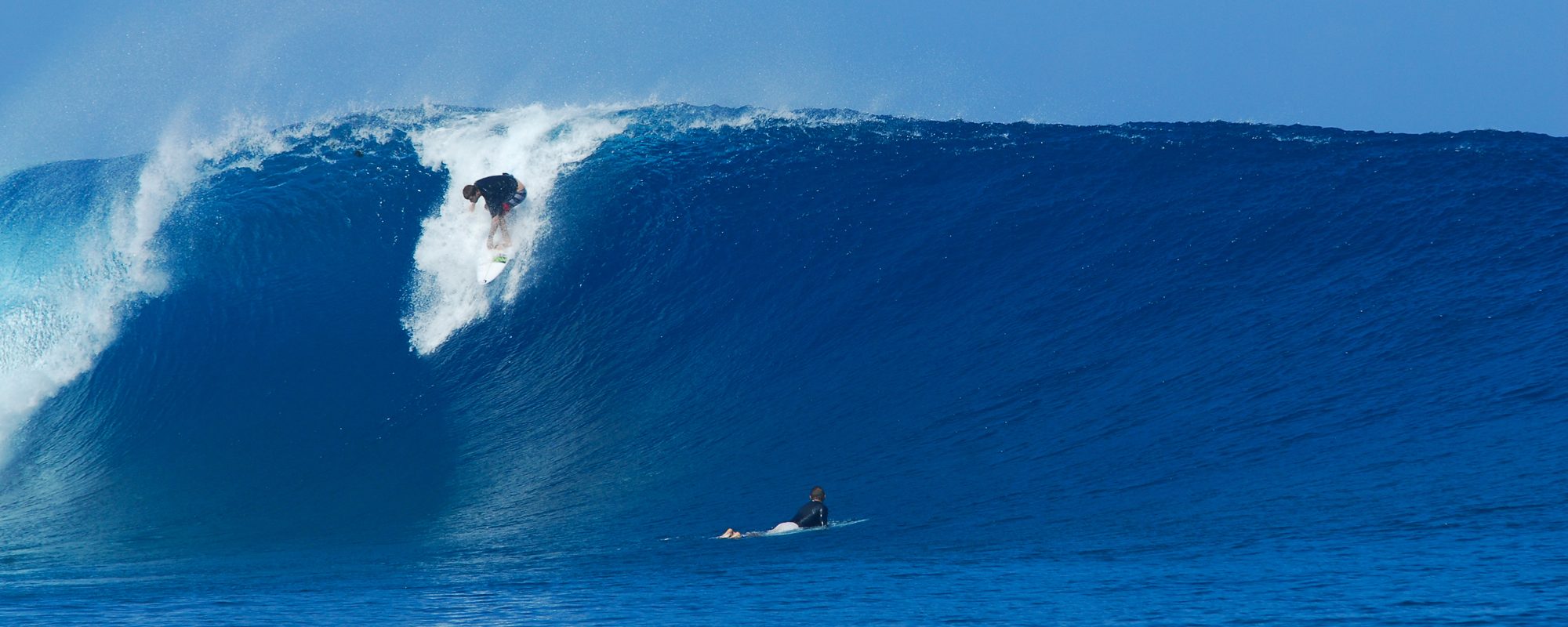
Full size images below if you want to click on them and see full screen.

The 5 to 7 day ENE swell coupled with Hurricane Philippe is rolling in slowly and may increase a little in size for Friday, but Saturday morning is when the size gets huge and the power starts rolling in. (huge for Florida standards :)……….
But, before I wail into the incoming swell…about the photos;

The photos here I took at O ‘ Club on September 8, the 2nd big day of Hurricane Katia. As you heard me mention in a couple of other posts. My buddy Ken and I first paddled out around 8 AM, and it was a solid 3 to 4 foot overhead with some bigger rogue sets. But by 12 or so, the Hurricane was dropping and the size had dropped to head high with occasional overhead waves, but were still nice and glassy and powerful. We were surfing at the 2nd light border of Officers Club break, and the photos in today’s post, were of a guy actually in the North end of 2nd light. The zoom was on full, and the surf was still 250 yards out.

MY APOLOGIES FOR USING THE LEVELS FILTER SO INTENSE ON THE FIRST PHOTO. It was so faded looking I had to jack up the contrast quick. Plus, the washout effect on the other photos is a little heavy also. L.M.A.O at my own Anal-OCD ishness. It’s late and I’m fried;)
Friday, probably shoulder high at the Cape and Overhead in Satellite. Winds looking to be ENE to NE, 15 to 20 plus increasing past 15 by mid-morning.
Saturday could hit double overhead chop down South, so I imagine we’ll have some extra visitors that want to make it in 2 foot overhead wind chop up here 🙂 Plus the winds ought to be 20 to 25 mph ENE at daybreak and increasing thru the day. But, at dead High tide, there might be some fun short-board peaks, and some long, continual reforming longboard waves.

Sunday I’ll go with similar to Saturday.
Monday morning at daybreak, but this is iffy and the models for big storm winds can change every 6 hours, but I’ll say it anyhow; could be double overhead , glassy, with 15 mph plus offshore winds, with the size dropping to 3 foot overhead by 9 or 10 AM, winds staying the same. Size looks to drop to a 1 to 2 feet overhead by dark. Also, Saturday thru Monday we’re looking at a swell period in the 10 to 11 second range, dropping to 9 on Tuesday, so the power of the swell could be rockin !


Keep your stoke up, know that models change, but what I get high about from models, is hoping that they play out.
Don’t forget the Cape Canaveral Friday Fest!
Have a fun and little bit wet weekend.
oldwaverider
