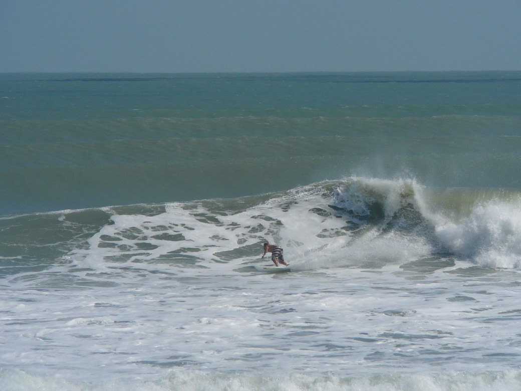
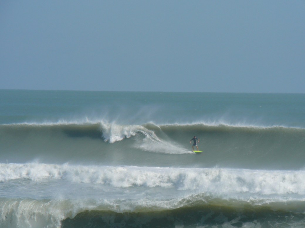
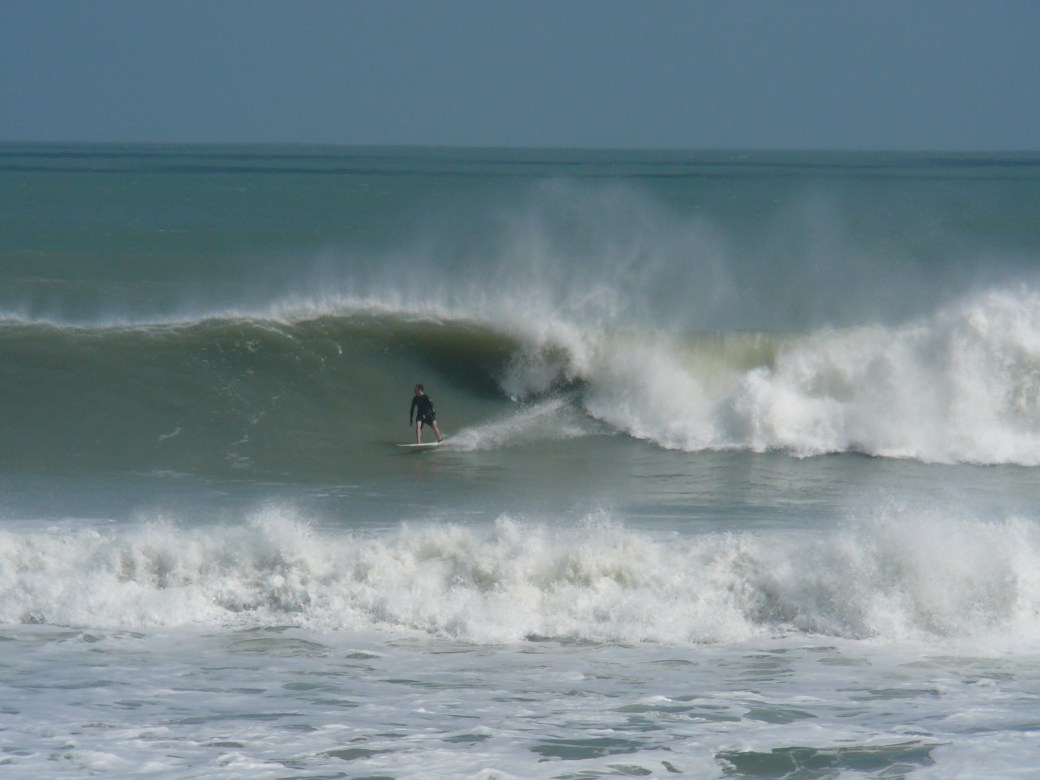
Chest high plus Ground Swell incoming for late Friday morning, more Surfing Photos from Hurricane Sandy 9 to 12 foot faces (with a maybe 16 foot face at Boynton Inlet), Thursday afternoon Surf Report Update 11/08/12 2:30 PM, Surf forecast for Cape Canaveral , Cocoa Beach and Satellite Beach (November 08, 2012 posted)


Photo Gallery from Hurricane Leslie, photos by Mike Melito, and one anonymous Boynton Inlet, FL massive wave.

Incoming ground swell for Friday morning should be bringing in some Chest high plus waves.  Maybe not at the Cape, but the Pier or a couple miles South of the pier should see increased size the further South you go.  The swell angle is so steep, at 9 AM Friday, 49 °, and straight offshore is 90, so our launch pads may block out a lot of this swell, at least the first day. (see rest of update, below photos)

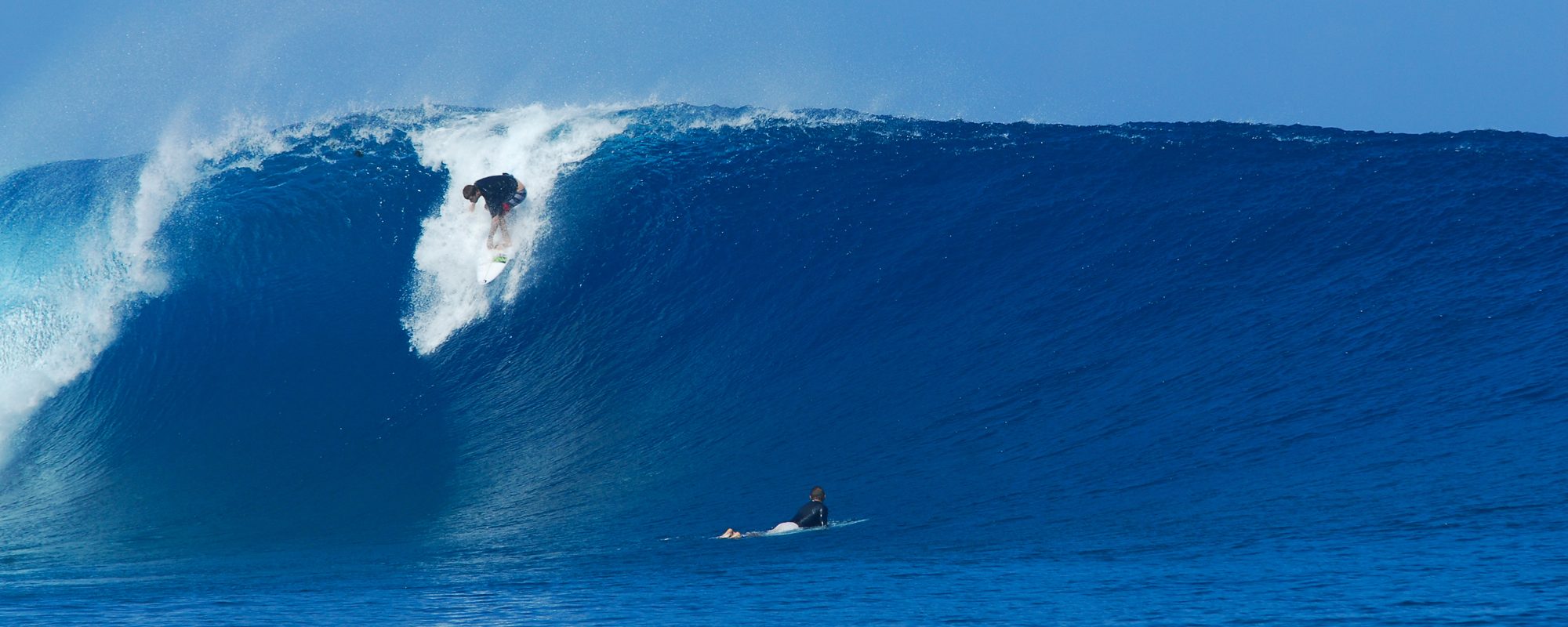
Boynton Inlet, Florida, Hurricane Sandy, either Saturday or Sunday, October 27 or 28 2012, photo by Anonymous
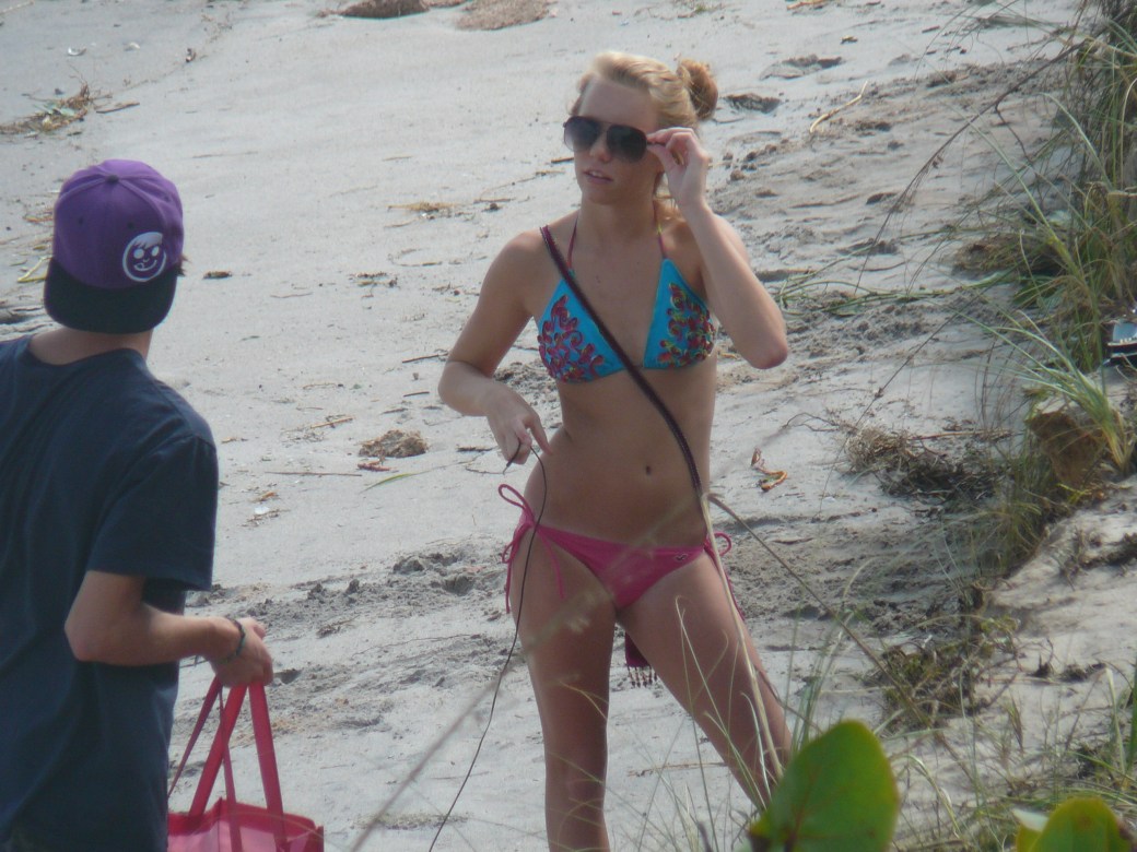
Surfer Girl at Hightowers, photo by Mike Melito
Me (Oldwaverider) doing pushups before the paddle out, unbeknownst to me the photo was being taken :), by Mike Melito
Perfect medium size right at Hightowers in Satellite Beach, Hurricane Sandy, Sunday around 12 PM, October 28 2012, by Mike Melito
South Cocoa Beach, Hurricane Sandy, solid 12 foot face (3 feet above and below the surfer), photo by Mike Melito
South Cocoa Beach, Sunday , October 28 2012, Hurricane Sandy, photo by Mike Melito
Nice big left in South Cocoa Beach, Hurricane Sandy, by Mike Melito
Almost in the pocket, South Cocoa Beach, Hurricane Sandy, by Mike Melito

We should see chest to shoulder high ground swell type power surf with onshore winds most of the week thru Saturday, and Sunday and Monday, more of the same but less power and a wind swell, however;

Friday morning , the winds switch from NNW at daybreak, toNorth at 8 to 12 mph until around 10 AM, so we could have some semi-glassy waves, thigh to chest high in the morning, at least somewhere between the Cape and 4rth Street North.  South of Minuteman CSWY, North winds are onshore.
Oldwaverider photo gallery from December 7 2011 NE swell, Big E-NE swell for 5-7 days, Monday 11 AM update , Surf Report and Forecast for Cape Canaveral , Cocoa Beach and Satellite Beach (posted December 12, 2011)


ART PHOTO GALLERY

This slideshow requires JavaScript.

There were rights and lefts to be had.  Probably a chest high wave on these 4 photos, but I kind stayed up high on the face.  Photos by Mike Melito
There were rights and lefts to be had. Probably a chest high wave on these 4 photos, but I kind stayed up high on the face. Photos by Mike Melito

Big E-NE swell here for probably 5-6 days followed by a NE’ ster coming next Sunday…

Today (Monday), huge chop, today is the peak of the swell for size.  We may have some 1-2 foot overhead waves at the Cape, and 4 foot plus overhead in Satellite with brutal onshore ENE winds in the 15 to 25 mph range.

Image 2 of 4, Wednesday December 7 2011 at 4rth St North

The size drops very slowly thru the week, but definitely expect head high every day 🙂  No sign of an offshore wind day yet. When the winds lay down, during high tides, that’ll be your most user-friendly paddle out.

Chest high right, but hanging close to the top. Image 3 of 4.

The photos are from the Big ENE swell from Wednesday December 7 2011 behind Mike’s condo at 4rth street North.  We had waist to head high waves at 4rth Street North with SW winds, so it was glassy, but by late morning the winds kicked up to 12 -15 mpht SSW-SW and the glassy walls started to crumble a little.  I had a great hour session with 5 or 6 long rides to shore, but when I tried to do a 2nd sesh with photos, my injuries kinda caught up with me, and I spent more time doing triple flips as opposed to working the walls. Oh well, still a great day 🙂

Trying to discern my center of gravity ;)  Image 4 of 4
Trying to discern my center of gravity 😉 Image 4 of 4
A sweet waist to rib high left.  Image 1 of 4 of Oldwaverider.  Photos by Mike Melito
A sweet waist to rib high left. Image 1 of 4 of Oldwaverider. Photos by Mike Melito
Image 2 of 4.  December 7 2011 ENE swell at 4rth street behing Mike's condo.
Image 2 of 4. December 7 2011 ENE swell at 4rth street behing Mike's condo.
Image 3 of 4, long left.
Image 4 of 4.
Image 4 of 4.

It just made it kind tough on my buddy Mike to get some pics of me, but he managed to salvage what I had left…

Oldwaverider