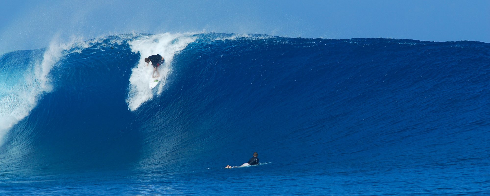
JOHN L. – Photo Gallery
Full size images below if you want to click on them and see full screen.


WE HAVE MORE WAVES COMING! … I’ll give the update down below after a couple words about the photos here.
The first actual day of Tropical Storm Maria brought some pretty fun thigh to waist high waves around the Cape and Johnson. I got out late, did a quick sesh, and then wanted to get some pics of Dr. John and some others.
I hope ya enjoy the pics, it was a good time taking the photos, and I do apologize again, I left the zoom on to high, oops, my bad 😉
Dr. John was having a good day, with both great lefts and rights to even out the morning.
Friday surf is the first day I’ll talk about. Thursday, small wind chop, go south if you want waist high or bigger chop. Save your energy. Friday, may get a small additional push of a SE swell, very small push, but…it could very well be waist to some chest high sets depending on where you go. The wind should be West , 4 to 6 mph at daybreak switching to SW before Noon, and then onshore. Could be a fun day, maybe not much power, but a fun morning sesh.

Saturday and Sunday may be similar to Friday. Offshore in the morning, remants of a lingering wind, non-ground swell. I could be way off base thinking this little wind swell that came down as a NE’ster could be hanging like this, but it seems to be coupling up with a little SE swell being pushed ahead of Tropical Storm Ophelia. It’s not actually part of Ophelia, but it seems to be keeping a constant low pressure working out there just enough to push in some mild wind swell waves.

Sunday, late, TS Ophelia, starts really making it’s push from the SE, and should be around 1000 miles East/Southeast of Miami by Monday afternoon. Sunday may have some weird waves from both swells, with offshore winds so it could be fun for most of the day.
Monday morning, could be chest high plus down South, and maybe waist plus at the Cape with offshore winds in the morning until maybe mid-morning. BUT…WINDS ARE IFFY THIS FAR OUT TRYING TO CALL, UNTIL WE ARE 48 HOURS BEFORE THE DAY OF SURF, AND THEN THEY ARE ONLY ABOUT 80% ACCURATE!

Tuesday could be some shoulder to head high waves and possibly Wednesday. This all could change easily, but I just wanted to share what the models are showing right now.


We’ll stop there. Ophelia as the models show right now, may never become a Cane, but it could give us the same beautiful waves that Maria did.
Keep your fingers and prayers up for a good day Friday, and then especially Monday and Tuesday.
Later,
oldwaverider
