Tropical Storm Erika update. Posted Wednesday August 26 2015 at 1:30 PM


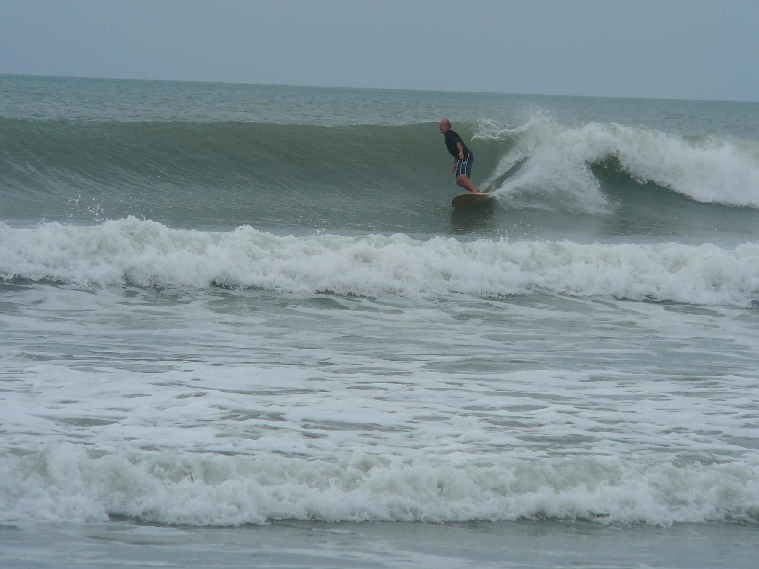
When can we expect Waves from Tropical Storm Erika?

Friday, we could have some waist high and glassy waves at daybreak, which would be the first touch of Erika, perhaps combined with the other departing SE swell.  The winds are looking offshore, at daybreak for Friday.  See Saturday and Sunday surf report below images. And, See image below for T.S. Erika daily status:

Tropical-Storm-Erika-08-26-15-11am-EDT-Wunderground


See Wunderground.com forecast here for Erika report: Wunderground.com website for TS Erika report

Saturday morning surf should be 3-5 feet swell size, meaning 4-7 foot faces, but starts out smaller in the morning and builds to this size during the latter part of the afternoon.  Winds, expect  8-12 mph SSE winds at daybreak, changing more East after mid-morning.  If you like to surf Playalinda, Sebastian Inlet or Spanish House,  at daybreak the winds , if they are SSE, can be offshore at Playalinda and Sebastian Inlet.  Why?  Because direct South winds are 32 degrees offshore at Playalinda, whereas at say Officers Club, direct South winds are only 6 degrees offshore, and 10 degrees offshore at say RC’s.  South for some of you, it’s worth the drive.

Sunday swell size is probably the same, maybe a foot bigger on the face on the bigger sets.  12-16 mph East onshore winds, so driving to South wind breaks will be pointless.


Tuesday August 25th 2-3 foot ground swell still on track, but delayed 6 or so hours. Posted Monday 08/24 at 11:00 AM


The Tuesday incoming groundswell for 2 feet at 12 seconds,  is still on track according to the models; however it appears to be delayed by 6 or 8 hours.  It has not hit the 120 mile buoy as of 10 AM EST today Monday 08/24.

A 12 second period swell travels between 15-20 mph, so when it does hit, providing there are no strong westerly winds out there (and there shouldn’t be), it should take about 7-9 hours to hit the beaches.  It is a Southeast swell,  so Satellite Beach should get a great angle on the swell in addition to Cocoa Beach.

Size should be waist to rib, with maybe a few chest high sets at the reef breaks down south, with wind models for Tuesday right now at weather.com showing 4-6 mph SSW at daybreak turning SW and back to SSW to onshore by around Noon.  NOTE:  I don’t believe their models have updated for wind since yesterday, which I don’t know why.  It they do change significant for tomorrow, as MSW.com is showing brisk offshore, then I will update this post.

Check out Sobe Surf for all your SUP training and supplies !Sobe Surf website

Tuesday August 25th brings in a solid waist high Ground Swell finally ! , posted Saturday 08/22 at 2:30 PM


What kind of swell do we have coming Tuesday through possibly Thursday this week?

Incoming Hurricane Maria swell from 2011 at Johnson Avenue, by OldwaveriderTuesday, for the 2nd or 3rd day running, the models show 1.8 to 2 feet at 12 second period swell, which starts at about 2-3 foot waves, or 3 to 4 foot faces.  It should be glassy for a couple hours Tuesday morning at daybreak till maybe 8 or so.

Wednesday through Thursday, maybe Friday show more of the same 🙂

And the swell could even look like the photo below:

camera with surfing 519

Mindblowing Puerto Escondido Video! and… Maybe some waist high glass Thursday morning August 06 2015, posted Wednesday 08/05 at 4:35 PM


Check out the video below of the incredible 10-20 foot stand up barrells in Puerto Escondido with Natxo Gonzalez, a 19 year old that caught the biggest barrells of his life 🙂

Thursday morning surf should be waist high and glassy in Satellite Beach with SW winds at daybreak turning SSW by 2 or 3 am and SW at daybreak, maybe until 10 or 11 am.  Then by noon it turns back SE.  The Cape may be rideable, but the Pier should be with thigh high to waist high sets.

Friday mornng should also be glass, maybe a little smaller.