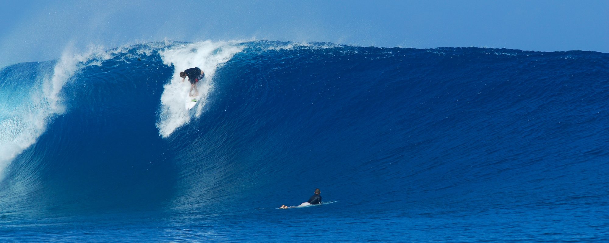
When can we expect Waves from Tropical Storm Erika?
Friday, we could have some waist high and glassy waves at daybreak, which would be the first touch of Erika, perhaps combined with the other departing SE swell. The winds are looking offshore, at daybreak for Friday. See Saturday and Sunday surf report below images. And, See image below for T.S. Erika daily status:

See Wunderground.com forecast here for Erika report: 
Saturday morning surf should be 3-5 feet swell size, meaning 4-7 foot faces, but starts out smaller in the morning and builds to this size during the latter part of the afternoon. Winds, expect 8-12 mph SSE winds at daybreak, changing more East after mid-morning. If you like to surf Playalinda, Sebastian Inlet or Spanish House, at daybreak the winds , if they are SSE, can be offshore at Playalinda and Sebastian Inlet. Why? Because direct South winds are 32 degrees offshore at Playalinda, whereas at say Officers Club, direct South winds are only 6 degrees offshore, and 10 degrees offshore at say RC’s. South for some of you, it’s worth the drive.
Sunday swell size is probably the same, maybe a foot bigger on the face on the bigger sets. 12-16 mph East onshore winds, so driving to South wind breaks will be pointless.
