Fun waves coming for Thursday morning 10/29 and Friday morning, and a chance of this afternoon. Posted Wednesday morning, 10/28/2015 at 10:20 AM


We have almost a ground swell rolling in today.  As the swell period approaches 9 and 10 seconds, we should start to see longer lines.

It may be disorganized this afternoon, even if the winds turn offshore after 3 pm, because there is a 2nd , and 3rd swell pushing from the south that is fighting against the ENE wind/groundswell rolling in.

Thursday morning at daybreak, should be waist high plus, with some solid chest high sets in Satellite Beach and glassy!.  Winds look to be offshore, from the West until late morning at least.

Friday morning could be 6 inches bigger and glassy.

If you’re lucky, this afternoon could be fun when it starts to turn offshore.  And Even now, with the winds straight South, well that is 32 degrees offshore at Playlinda, and 26 degrees offshore at Sebastian Inlet.  But only 10 degrees offshore in Satellite Beach, so with 15 mph South winds, Satellite will still be bumpy.
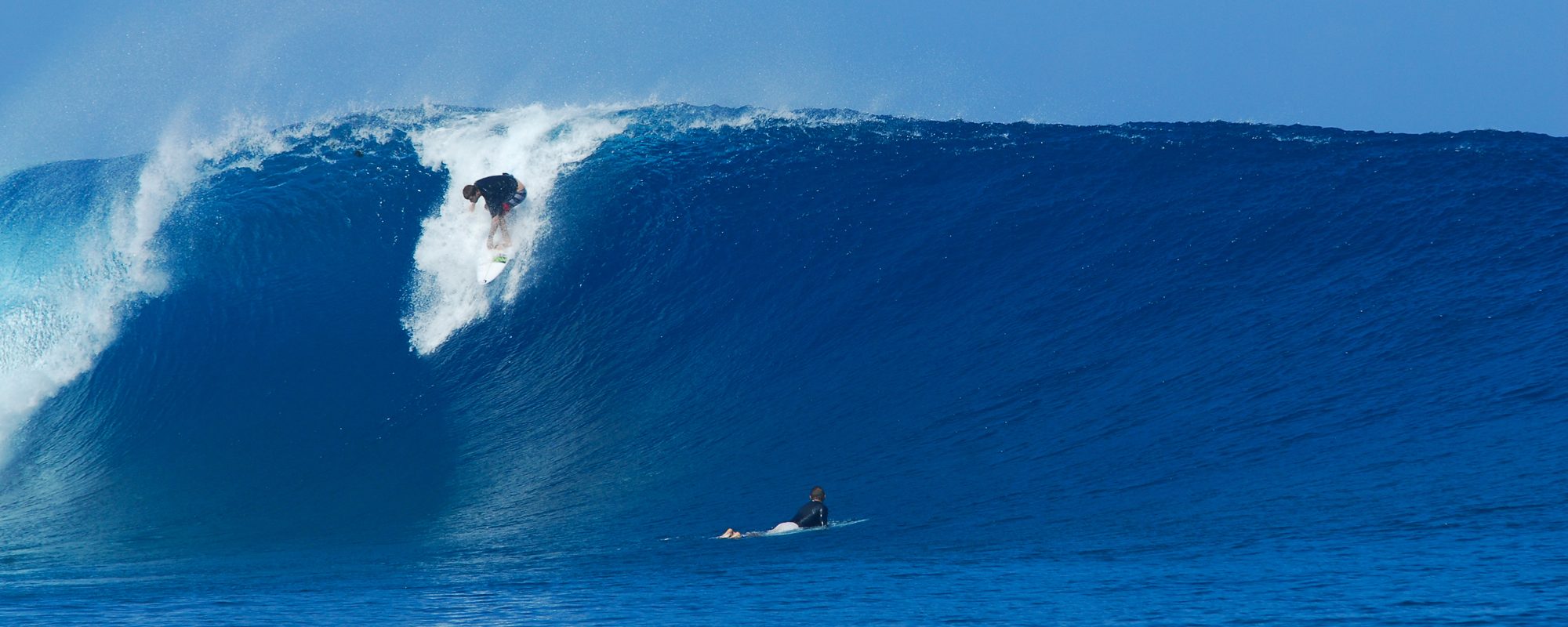
More Surf Video of Big Wednesday w/ Soundtrack – T.S. Ida – Satellite Beach – Big Day Sunday expected for Hurricane Joaquin, posted Saturday night 10/03 , 10:50 PM


Sunday morning should be the day!  Saturday was a dissapointment, except maybe for folks at the pier.  But there was still some 50 yard rides for all, in other North breaks.  The problem was caused by a secondary swell, that was aiming North to South from 3 am Saturday till maybe 3 Pm , a swell that was 3.5 feet at @ 6 seconds.  So that was putting the bump in the middle of the swell in the morning , more noticeable down south, but took the juice out of much of the swell even up North.

Here’s a video compilation of Big Wednesday of Ida, with a nice soundtrack by Guerilla Jazz, called “One Day We’ll Be gone”, they are from Maui, Hi.

Sunday , the Hurricane Joaquin has dropped a little in size models, and now it also looks like the “size” arrives at it’s Peak, by around Noon to maybe 2:30 Pm or so.  We have a secondary swell, but a very minimal one pointing south again, but I don’t think it will cause much issue, not like today anyhow. We do have West winds at the 120 buoy, so that could hold back some of the swell.  I think we can look for Shoulder high plus at the Pier, with some bigger sets, and Satellite Beach should see some 10 foot rogue sets, with a lot of 6-9 foot sets.  The winds shoudl be WNW at daybreck around 8 to 10 mph, switching to West down to around 6 to 8 mph.

Monday and Tuesday look big and fun also.  Enjoy, and watch out for the bait fish predators!

Oldwaverider

Hurricane Sandy best surf video just to wet your tongue :) , plus, Keep your eyes set for Sunday morning (maybe Saturday before dark) as our best possible day of waves since this video :) Posted , 10/02 at 8:17 AM


Hurricane-Joaquin-Friday-2pm-10-02-15-compliments-of-Magicseaweed
Hurricane-Joaquin-Friday-2pm-10-02-15-compliments-of-Magicseaweed. CLICK IMAGE FOR A READABLE SIZE, LOL

See Video below of the best Florida Hurricane Surf video I have seen, but Here’s the update on Saturday and Sunday Surf.  Hurricane Joaquin will not be hitting us as hard Saturday or Sunday as the models first said.  But only by 1 foot drop on the models for Sunday.  Saturday, it doesn’t appear to be coming in as intense.

Saturday, expect head high with bigger sets at the Pier, and head high to 2 feet overhead in Satellite w a few bigger sets. Winds start out NW at daybreak, and progress to WNW, from 10-12 mph at daybreak, increasing to 15-18 as the day progresses.

Sunday is “The Day” now.  I still believe there will be double overhead sets in Satellite Beach, but not bigger than that now.  Only on the clean-up sets if u will 🙂  At the Pier, expect 2 foot overhead to even a rare 3 to 5 foot overhead wave.  Winds on Sunday start out West and increase to WSW, 8 mph at daybreak and increase to 12-15 mph, maybe a little more by late afternoon.

Check out the video below, which I think is the best Surf Video footage of Florida and RC’s that I have seen.  These guys at Pure Ocean TV,  I have tons of respect for 🙂

Hurricane Sandy, it was so much fun that day, October 28th, 2012,  in the morning when the tide was high and over the steps at RC’s.  These guys got there may 30 minutes after I left and went to Hightowers 🙂

and then , there’s the drive back to the Cape, to catch a smaller , session, when you’re feeling your age, LOL

Same day as the video i took and posted on the 1st, just decided I was exahausted and wanted a few more rides, and less battling the paddle back out, LOL, photo by Mike Melito, September 30, 2015

Surf Video from Big Wednesday, plus, Friday morning should be really nice head high with NW winds in Satellite Beach for a couple hours. Posted Thursday night, 10/01 9:30 PM


Friday should be really nice, with waist high plus at the Pier, and Head high plus in Saturday in Satellite Beach.  Winds should be around NW, in a brisk 8 to 12 mph at daybreak.

Here’s another short video clip from Big Wednesday in Satellite Beach.  It started as a near double overhead face, tapering off quick, but made for a nice , perfect ride without almost a coverup.

Saturday, as the Easterly swell begins to piggyback this powerful NE swell we’ve had, and it should start arriving by noon or 1 PM Saturday morning, and all through the night. It should be 2 feet overhead by mid-afternoon, getting close to double overhead by dark.  Winds look to be offshore most of the day.

Sunday morning could be massive, and hit double overhead for the entire morning.  It has a chance of reaching the status of Hurricane Sandy, with Very strong offshore West winds, perhaps in the 12-20 mph range.

Get excited, and grab your best big wave gun!

Oldwaverider