
Up thru today, there has been some nice glassy knee high plus waves at Lori Wilson Park.
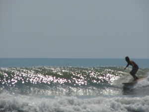
This photo is Rob surfing Newport Beach in September of 2009.
oldwaverider
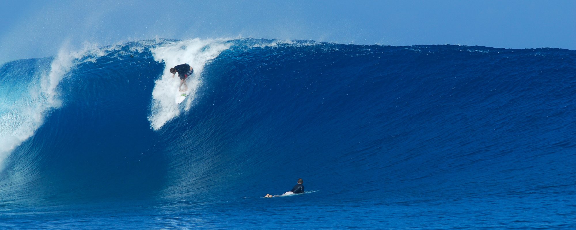

Up thru today, there has been some nice glassy knee high plus waves at Lori Wilson Park.
This photo is Rob surfing Newport Beach in September of 2009.
oldwaverider

Today was beautiful glassy waves for an hour or two near the Port, some shoulder high drops with waist to chest high sets. A few workable walls, lots of power, but unfortunately most were closeouts. I decided to surf the Cape because of the morning NNW winds which are crosswinds for down South. But I heard reports that down South wasn’t blocked out totally by the Bahamas and actually had some overhead drops.
Friday, it should drop some in size even though it hit 7 feet at 9 seconds at the 120 buoy around 8:30 Pm tonight, but the reason I say this is the winds at the 120 are blowing direct out of the South at over 10 knots. Plus, we should have some SSW winds for a few hours tonight at 10 mph which could also knock it down some. But…………………
I still think Friday we should have some chest high waves down South with direct South winds in the 8 to 10 mph range, and by 8 or 9 Am they are supposed to switch to SSW in the 10 to 12 mph range until mid to late morning for both Satellite and Cocoa Beach. Saturday we may have some thigh high leftovers with possible offshore winds.
The Cape being a North wind break would have total sideshore winds so it doesn’t make sense to surf anywhere North of Minuteman Causeway.
Get excited, it should be a fun morning, and hopefully the 30 to 40 % chance of Thundershowers will wait until 11 or 12 like weather.com says it will 😉

Okay, the crazy first screenshot image above is a massive swell getting ready to hit Tasmania, the chart is showing 49 feet at 17 seconds, insane. As this swell moves on, it is supposed to hit Fiji with greater intensity than the 40 to 50 foot swell that hit Fiji last year, so when the video come out, my addiction for big wave videos will have those ready for you from YouTube, Vimeo and/or Magicseaweed.com
Have a great surf sesh Friday morn.
oldwaverider
The incoming swell hit 6 feet at 9 seconds at the 120 buoy from 6 to 8 PM. Thursday morning should see some chest high waves down South for sure. Probably bigger sets will come in down there. Waist to possible chest in places at the Cape. The swell is looking to be 3.5 feet at 9 seconds when it hits our beach.
Winds are looking to be NNE at daybreak, turning North for an hour or two, maybe and hour or so of NNW at the Cape and only North down by Satellite Beach.
Friday morning looks like 3 feet at 8 seconds, with brisk SW winds in the 8 to 12 mph range. Should also be chest high down South.
Get excited, it’s Summer and there ain’t supposed to be waves 🙂
Later,
oldwaverider

Another swell coming in after this………undefineable wind swell that has given us thigh high plus waves thru the July 4rth weekend, if you caught it at the right tides.
Lori Wilson has been looking good every day.
The new swell, again its a cross between a wind swell and a wannabe ground swell. We should see some lines with it. It trickles in starting Tuesday and just kind of keeps rolling in thru Thursday and then kind of hangs Friday and into the weekend. The biggest size of the swell is possibly 3.5 feet at 9 seconds, which can translate to chest high with some larger sets, depending on the break you surf.
Thursday is the first day we may see some size to speak of, onshore winds as it looks now, but some chest high waves should be around at least down south.
Friday, it shows possible offshore winds for a few hours around daybreak, with some chest high waves. The Cape may see some waist high waves. Saturday looks possible offshore also.
oldwaverider
On Location Puerto Escondido#2 from IronFistMedia on Vimeo.
oldwaverider

We have a small swell approaching what seems to be Thursday night after midnight, on our beaches Friday morning. It’s an east/southeast swell, oh what a surprise ! for the direction, that is looking to bring some waist high waves Friday morning with offshore winds as the models show right now, and a bump up to stomach or chest high on Saturday with offshore winds in the morning also. When I see the 4-5 feet at the 120 buoy Thursday evening and winds only out of the east to bring it to the shores for Friday morning, then I’ll get real excited…….
It actually looks to be between a simple wind swell, and a wannabe ground swell. By Friday morning, the fetch of the swell has one big solid blue stretching out about twice the length of Florida out eastward, so this seems to represent a small low pressure system, but definitely small.
Since this swell doesn’t stretch out the desired 1000 to 2000 miles in width, the models and arrival of said swell can change drastically, but since this is the wave dry time of the year, I feel like getting excited about it.
The picture to the left was humorously taken with a 35 mm camera that I dug out of a closet back in 2007 for a huge Halloween swell that we had. I had no zoom on it, didn’t remember how to use it, but I had taken a few pictures of Kevin, owner of Cape Surf, but this particular pic I took because the guy riding the wave wiped it pretty good, and the wave face height was 2 1/2 times the length of his board so he had a pretty good fall when this wipe out was done. Yeah I know the quality of the pic is hard to see the wave size, but it’s easy enough to add at least two board lengths to get the minimum face height.
Anyhow, fingers crossed for Friday and Saturday. Waves for July 4rth weekend would be nice.
oldwaverider

We do have a narrow little swell out there as you have noticed from a walk to our beaches, (the photo to the left is what the Gulf Coast of Florida, Anna Maria Island had) my guilt abounds for not mentioning this slight incoming swell on Wednesday night. It is really small and narrow in width but it is showing in the 3 to 3.5 foot range at 8 to 10 seconds at the 120 mile buoy.
The winds should be offshore Friday morning for a couple hours, before daybreak and until mid-morning, unless the scattered thundershowers take control of the situation differently. (as mentioned by Ross and myself, the winds are often sketchy to predict, however, weather.com has been over 60 to 70 % accurate for me when used 36 hours before or less).
We could very well have some glassy thigh high plus waves Friday morning for awhile. I don’t believe the offshore winds starting light after midnight will blow it flat, but……………that is always a possibility.
Getting out at daybreak will get you out at almost optimum tide at just slightly past mid-tide high going low.
We also have a weak windswell approaching , beginning a little on Saturday and dribbling in on thru what appears to be Wednesday as the models show right now. Don’t expect much, and then if it’s rideable at some point, hey you’ll be happy.
oldwaverider
DAVE L. – Photo Gallery (Bio coming soon!)
Full size images below if you want to click on them and see full screen.

This was Saturday morning May 14, 2011 in South Cocoa Beach.
Sunny and his Dad, Dave the Ripper as Chad likes to call him :), along with Chad and Jim (Johnson Ave. group) caught a great surf sesh from a 3 or 4 day swell, nice and glassy for Saturday morn, yeah there were close-outs, but definitely some great waves in the waist to stomach high range.
Here is 6 or 7 pictures of Sunny Dave ripping up the best to be had that day. A couple of the photos below are 2 sequence shots. I hope you enjoy the gallery, and as we get more pics, we’ll get them up here for ya.
Surf report for Friday morning is a ridable wind swell at the right breaks 🙂
Okay, well, what we have is a wind swell (without a significant low pressure system to call it anything better than that), and as Ross at CFLSurf.com says, we’re gonna have 3 foot plus face

waves, and the further south you go (to like Satellite Beach), the bigger and better form you’ll have.
The two days to tune in for are now Saturday and Sunday morning. Friday could bring in some waist high plus waves south with 8 to 10 mph east winds until around 9 or 10. The form could be fairly decent, and with low tide at 9:15 approx., if the 2nd punch of the swell gets here before 9, then it could be light 9 mph winds and waist high plus. By late morning, the winds will be increasing to the 12 to 20 mph range out of the east.
Saturday and Sunday morning it could be a little bigger with some stomach high plus sets, and close to calm winds with a chance of offshores for an hour or so from before daybreak on Saturday until 7 or 8. By Friday night I should know the Sunday morning winds within a reasonable accuracy. (50 to 80 % ha)

For Saturday it’s looking moderate 10 to 15 mph winds by afternoon. But it may be ridable and fun at the right tides. As of now (Friday 10:00 am) I have an update from Thursday, the models show NNE winds in the 4-6 mph Saturday morning, very good for the North wind breaks like the Cape, 4rth Street North. It shows 8 mph N winds from 7:30 to 9 Am Saturday, which means offshore winds for the Cape ranging from 3 to 7 degrees offshore depending on where you go at the Cape. 4rth street North is about 6 degrees offshore with North winds if your car is running ;(
Sunday morning, as the models stand right now (Friday 10 Am), shows 8-10 mph WNW winds at daybreak which if it doesn’t get blown flat overnight, could be an awesome waist high glassy session. The caution is, the winds are supposed to turn NNW at midnight Saturday and slowly turn NW in the 8 mph range, and winds like that blowing all night on a wind and not ground swell could go either way on flattening out the swell or not, we’ll see.
The models change every 6 hours, and keeping in mind that this is a wind swell and not really a low pressure system to speak of, we will have to update this tonight after 8 Pm when the models have change again.
Hey, we keep sounding like a broken record/8-track/cassette/cd/dvd/blue-ray, but we’re not supposed to have waves this time of year, and like last summer we weren’t supposed to have pre-hurricane waves all summer but we did. So enjoy what we get. For now, no jellyfish except an ocassional Cannonball or a Disc (white and flat, whatever they are).
The Pacific Coast is getting a Hurricane right now Adrian, with 115 mph winds (the update is the hurricane strengthened to 135 mph but as it gets close to the San Diego parallel it starts to hit colddd water), it’s just under 400 miles west of Acapulco, so Acapulco, El Salvador and maybe Baja Mexico will be getting some great waves. Now the Cane is only heading west at 9 mph, so Escondido must be slamming. Acapulco rocks, deep and nice warm water. I surfed Acapulco in November a long time ago, warm water, unlike Baja Mexico such as Ensenanda, K-38, K-55 close to San Diego. There it was like 57 to 60 degrees in July – August, when Cliff and I surfed there a longggg time ago 😉
Later,
oldwaverider


CHAD – Photo Gallery (Bio coming soon!)
Full size images below if you want to click on them and see full screen.
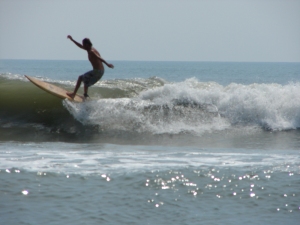
This was Saturday morning May 14, 2011 in South Cocoa Beach.
Chad with his son Chase, Sunny, Jim and Dave the Ripper caught a great surf sesh from a 3 or 4 day swell, nice and glassy, yeah there were closeouts, but definitely some great waves in the waist to stomach high range, with maybe some bigger sets.
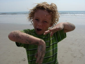
Chase, (Chad’s son) came along to put on a show (see photos below 🙂 along with the surf sesh. Even if the waves were flat, it wouldn’t have been boring.
Also, the incoming wind swell for Memorial Day Weekend looks like it’s kicking in a tad more size and power. And it may even rollover till Thursday now, and………bring in some waves Sunday morning instead of waitin till the afternoon.
By Sunday afternoon, we should see some waist high waves at the Cape here, yeah 10 to 20 mph onshores, but like I said yesterday, we aren’t supposed to have waves by now, so get excited. Monday ought to have some fun chop, with a drop in the swell
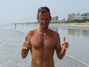
by late afternoon/evening.
Then Tuesday, the size may kick in to maybe some chest high waves at the Cape with bigger sets down south, though the period (power) of the swell drops off until Wednesday some time where the size drops but the power kicks in a little
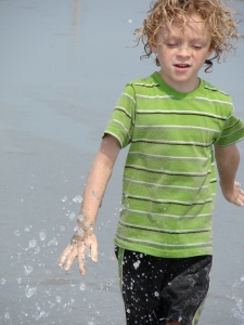
more. Again, I don’t see an offshore winds window yet, but if we do, we’ll pass it on.
Enjoy the pics, and the Memorial Weekend waves.
oldwaverider
SUNNY – Photo Gallery
Full size images below if you want to click on them and see full screen.

The photos are of Sunny taken by Chad , I think.
This was Saturday morning May 14, 2011 in South Cocoa Beach.
Chad, Sunny, Jim and Sunny Dave caught a great sesh from a 3 or 4 day swell, nice glassy, yeah some closeouts, but definitely some great waves.
A 3 shot sequence of Sunny, followed by a couple of miscellaneous waves.
By the way, Sunny does do rights also 🙂


Oh, guess we don’t want to leave out the incoming Memorial Day weekend wind swell for Sunday thru maybe Wednesday.
Hey, we’re not even supposed to have waves this time of year, so get pumped that we’re at least getting some wind chop waves.
Maybe, we’ll see some shoulder high sets down south, but I figure we ought to see a day or two of waist high plus at the Cape since the wind swell is direct east.
Right now, I’m not seeing a window of off shore winds, but when we get to that 3 hour window, we’ll let ya know.
Enjoy the pics, and the waves late Sunday afternoon over Memorial Day weekend.