Sunday morning possible glass and size, Saturday Morning Surf Report Update 9/22/12 1:00 PM, Surfing photos of Chad from Hurricane Leslie, Surf forecast for Cape Canaveral , Cocoa Beach and Satellite Beach (September 22, 2012 posted)


SUNDAY MORNING AND MONDAY MORNING, COULD BE SIZE AND GLASS!…………..More in a few minutes!

CHAD PHOTO GALLERY

This slideshow requires JavaScript.

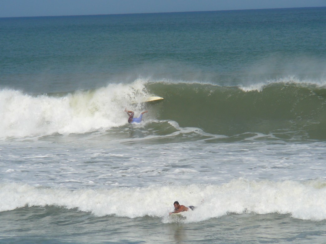
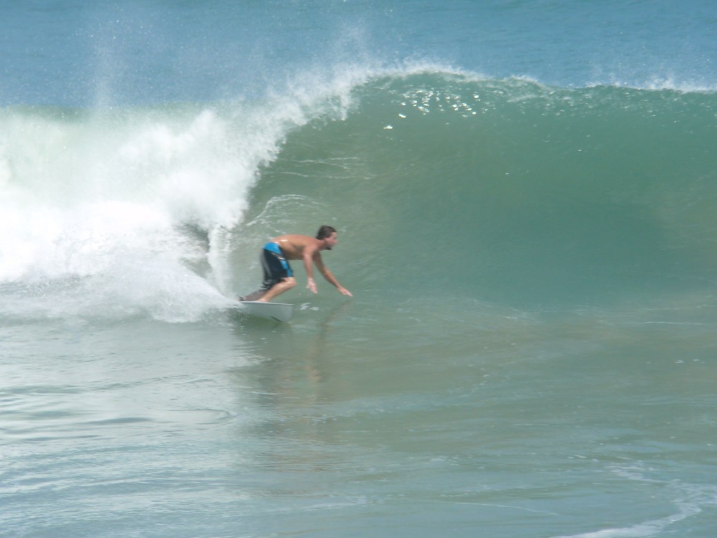
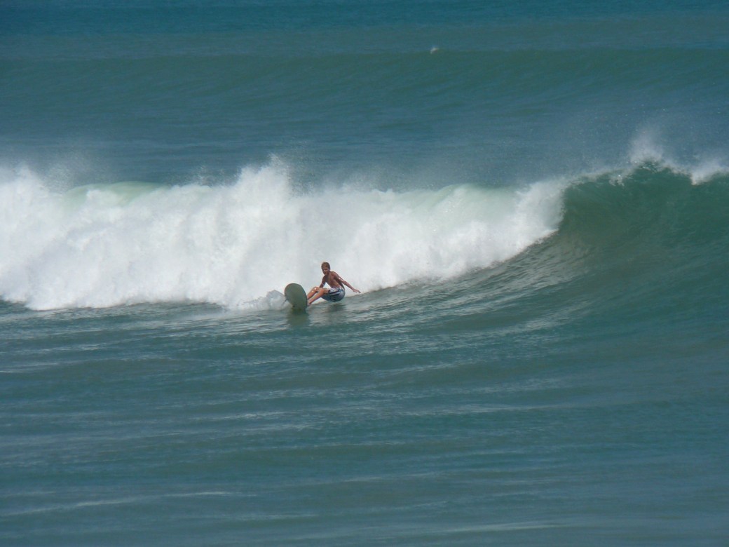
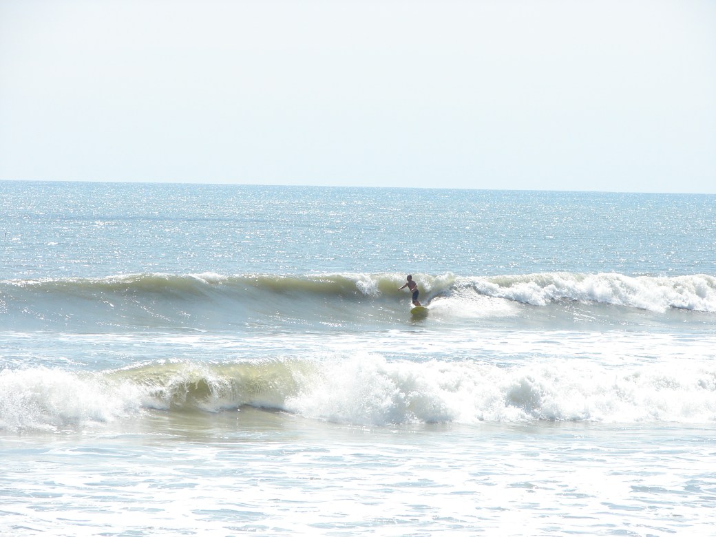
Glassy lineup, with the whole neighborhood out in the water!

Sunday, September 9 2012 was a spectacular Surf Day!  Hurricane Leslie gave us great surf for 5 or 6 days I believe. Yeah, Saturday was the huge glassy day in Satellite Beach with some 10 foot face sets, see the photos here from my buddy Mike Melito, but the best day (which I missed cause I was out of town, ouch),  but the day for 30 to 50 rides per person (or more), was Sunday.  It was closing out, and poor form Sunday up until 2 or 3 PM, and then conditions changed big time!  RC’s was shut down, but at 3 PM, I was at Officer’s Club watching with my buddy Mike Melito, and within 30 minutes, the form cleaned up, the winds got perfect, 3 guys were out, so Mike and I paddled out at O’Club, with some awesome head high waves and and occassional 1 to 2 foot overhead cleanup set.  I surfed 2 hours at O’club, easy paddle out, no hair wet, but it was slamming hard if you got caught inside.  I caught at least 3 each 150 yard rides at O’Club.

But then I suggested, he let’s check out Johnson Ave, and see if we have less slamming, and more waves for the taking.  So we went North, and it was one of those Classic Johnson Avenue days.  It was perfect in form, yeah a foot or two smaller on the face,  but the left’s and rights were so User-friendly, the whole neighborhood was out, so we surfed another 1 1/2 hours, and then I came in to take some pictures.

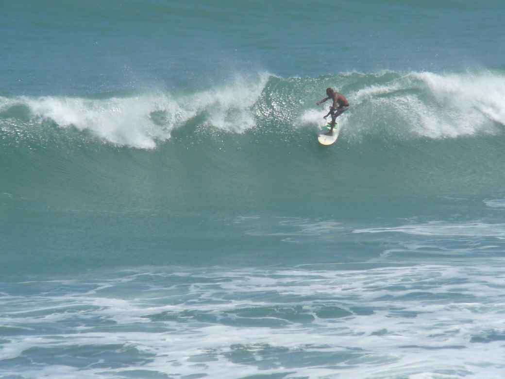
This sequence is of brother Chad, a 6-shot sequence, taken about 5:30 PM or 6 PM,  my settings on the camera were a little off, but you can still see what an epic session Chad had.  He was definitely one of the stand-outs making this epic Hurricane Leslie Johnson Avenue Sunday night session, look easy 🙂

Chad on a perfect right. Image 1 of 6 shot sequence, from Johnson Avenue, Hurricane Leslie, September 9 2012, around 6:30 PM . Photos by Oldwaverider,
Chad, image 2 of 6 in sequence, enjoying a perfect Sunday evening Hurricane Leslie swell , the whole neighborhood was out. Photos by Oldwaverider
Chad, image 3 of 7 (not 6) shot sequence :)
Chad, image 3 of 7 (not 6) shot sequence 🙂
Chad, image 4 of 7 shot sequence, Hurricane Leslie, Sunday night.
Chad still going, many 100 yard plus rides were had this Sunday night. Image 5 of 7 in sequence. Oldwaverider photos
Image 6 of 7 , Chad carving a glassy chest high face.
Chad riding a Hurricane Leslie perfect wave, image 7 of 7 shot sequence. Photos by Oldwaverider

Okay, upcoming surf,  REMINDER, with my crazy schedule, I am only posting surf reports when we have a solid ground swell in the making.  So that’s why the infrequent reports.

But we do have  a solid long period swell that will start to hit our beaches tonight (Saturday night), and should see some thigh high glass or semi-glass for Sunday morning at the Cape here.  Maybe some waist high stuff, and by later in the day, chest high at the Cape, and some Chest high in Satellite Beach.  Winds look to be offshore up until maybe 11 AM with mostly a NW wind (4 to 8 mph) turning North by 11, which still would be offshore if you stay at Lori Wilson or North of it.

Monday morning, if you surf North, Lori Wilson or the Pier, should have some chest high plus sets with semi-glass until 9 or 10 AM.  The winds should be 5 to 10 mph out of the North, so it could be fairly big and semi-glassy.

This ground swell should be with us thru Tuesday, and then we should still have a solid 3 to 4 foot wind swell with us thru Friday at least.

Make sure and get in the water early Sunday to get the perfect glass and at low tide.

Have a great weekend!

Oldwaverider
Huge Leslie Wave photos , Saturday afternoon Surf Report update 4:00 PM, Hurricane Nadine Waves Surf Coming tonight! , Surf forecast for Cape Canaveral , Cocoa Beach and Satellite Beach (September 15, 2012 posted)


HURRICANE NADINE WAVES WILL HIT OUR BEACHES BEFORE DARK!………..I HOPE 🙂

This slideshow requires JavaScript.

Hurricane Leslie Overhead perfection at RC's, taken on Satuday, the Big Day  :)  Photo by Mike Melito

RC’S PHOTOS FIRST

In the morning, Sunday,  we should see some chest high waves here at the Cape and Shoulder high in Satellite Beach, but more on that in a minute………….

These photos are from the epic Saturday surf provided by Hurricane Leslie, and they were taken in Satellite Beach at RC’s and also at the Cocoa Beach Pier, by my friend Mike Melito. 

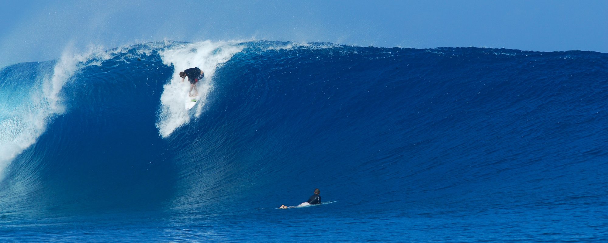
Size seemed to range from 8 foot faces to very close to double overhead, but maybe not quite.  Conditions were glassy, and those that crave big Florida Hurricane waves in Brevard, like to head to RC’s, Hightowers,  and that’s what these lucky folks did!  I was out of town, ouch, but very lucky that my friend Mike took the time to get these incredible photos.  First RC’s and then the Pier.

Perfect glassy RC's face and bottom turn, totally makeable, a happy man no doubt :)
Perfect glassy RC’s face and bottom turn, totally makeable, a happy man no doubt 🙂
Almost the Cover UP!  Another perfect Hurricane Leslie left, photos by Mike Melito, taken on Saturday, Sept. 8 2012
Almost the Cover UP! Another perfect Hurricane Leslie left, photos by Mike Melito, taken on Saturday, Sept. 8 2012
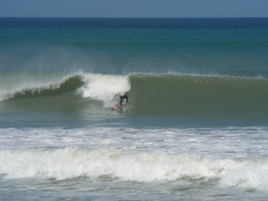
A barrell on this on, RC's , Satellite Beach, Hurricane Leslie, epic Saturday, September 8 2012, photos by Mike Melito
A barrell on this on, RC’s , Satellite Beach, Hurricane Leslie, epic Saturday, September 8 2012, photos by Mike Melito
Perfect Longboard Left...need I say more?
Perfect Longboard Left…need I say more?
Back up to the top?  The Cover Up?  or the Head Slam?  He's hungry for the re-entry :)  RC's Hurricane Leslie, photo by Mike Melito
Back up to the top? The Cover Up? or the Head Slam? He’s hungry for the re-entry 🙂 RC’s Hurricane Leslie, photo by Mike Melito
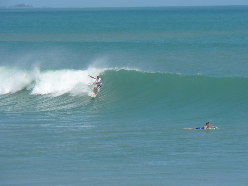
Cocoa Beach Pier, a late drop in right, Hurricane Leslie, photos by Mike Melito
Obama or Romney?  humm,  well, lemme finish this left and then I'll think about it...
Obama or Romney? humm, well, lemme finish this left and then I’ll think about it…
Hopefully he puts his feet together ... Hurricane Leslie photos at Cocoa Beach Pier, taken by Mike Melito
Hopefully he puts his feet together … Hurricane Leslie photos at Cocoa Beach Pier, taken by Mike Melito
we can agree it was a late drop?  ........photo by Mike Melito, at the Cocoa Beach Pier
we can agree it was a late drop? ……..photo by Mike Melito, at the Cocoa Beach Pier
perfect wall and no time to stall, Cocoa Beach Pier, Hurricane Lesllie, photo by Mike Melito
That third fin can come in handy in these situations :)  Cocoa Beach Pier, photo by Mike Melito
That third fin can come in handy in these situations 🙂 Cocoa Beach Pier, photo by Mike Melito


Sunday surf;  Chest to Shoulder high with light 5 to 10 mph East winds switching to SE, but as it stands right now, they aren’t showing much more than 10 mph, so it could be very clean in the morning.

Monday, still chest high plus, with light onshore winds

TUESDAY LOOKS TO BE THE SEMI OR POSSIBLY EPIC DAY!  Rib to Shoulder high, from the Cape to Satellite Beach, with offshore SW winds, the speed, I can’t say yet, but probably less than 10 or 12 mph.

Wednesday could be a waist to chest high day with offshore winds also.

We have been blessed 3 summers in a row for waves, and of course, the Hurricanes are that special gift, so enjoy it while it’s epic.

Oldwaverider


Friday Morning Surf Report Update 9/7/12 8:30 AM, Weekend Surf from Leslie, and Hurricane Mike’s slight interference :), Surf forecast for Cape Canaveral , Cocoa Beach and Satellite Beach (September 07, 2012 posted)


What’s going on with Saturday and Sunday morning with Hurricane Leslie part two, building?.…………………Morn in a second on that;

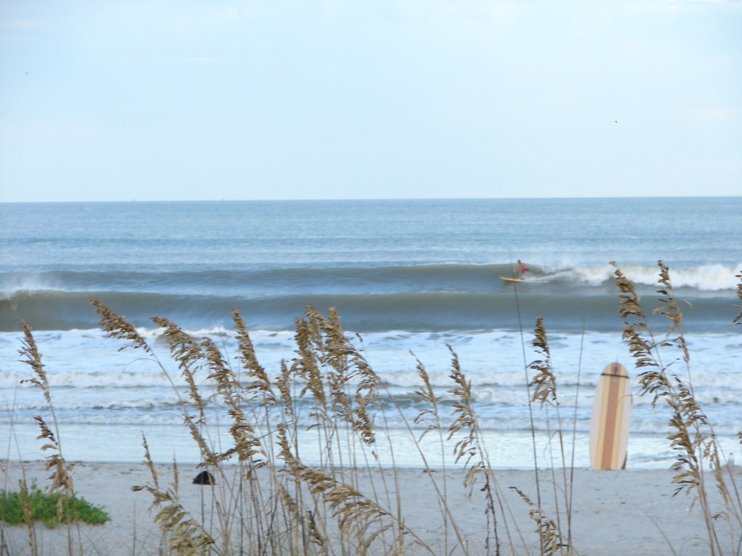
Satellite Beach on Thursday morning, the first part of Hurricane Leslie surf, a nice head high right. Photos by Oldwaverider

These photos are from Satellite Beach from Thursday morning, after the glass took a turn when the winds switched to South or SSE.  It was perfect chest high to head high waves, and my buddy Mike and I, caught a number of 150 yard rides from outside, all the way in.  PPPPPPPPPPerfect surf!!!!!!!!!!   The surfer is an unknown, but this was the size on the set waves.

The swell will definitely build back up a bit by Saturday, and appears to peak Saturday after dark thru Sunday morning.  The storm has de-intensified some, meaning, the double overhead surf for Saturday night or Sunday is gone, but…………………………………. I believe we will still have some 3 foot overhead rogue sets on Saturday and Sunday.

Today is chest high to maybe some head high sets down south (from a morning visual report I got around 8 AM, and very glassy with SW winds.  The winds ought to stay offshore until Noon.

Saturday, should be shoulder to head high at daybreak and building thru the day, with 3 foot overhead rogue sets by evening and for Sunday.  Winds are SW for Saturday morning in the 5 to 8 mph range, and increasing to 10 or so by Noon.  It may stay SW until well after Noon, and then the typical switch to onshore.

Sunday, head high to 2 or 3 foot overhead on the rogue sets with SSW winds, maybe SW winds until late morning, at over 10 mph, so it won’t be as carefree as Saturday, but still should be great.

Monday, should also be overhead and have offshore winds (down south at least on the winds), but by 9 or 10, they may go onshore as the new swell from Hurricane Mike starts sweeping in.

Thursday morning Satellite Beach, September 6 2012

Tuesday and Wednesday, should be big and overhead, but hard onshore winds.

One week of chest to overhead surf with morning glass;  when’s the last time that happened from one particular swell/storm?

Enjoy the weekend, and catch the morning epic glass.  A gift from God I call it 🙂

Oldwaverider

Tuesday 9/4/12 6:50 AM Surf Report Update, and NOTE: Sunday (9-9-12) is now the double overhead day, if the swell holds tight!, see last 6 ft 11 sec swell in November to compare, history, TS/Hurricane Leslie Surf Coming! , Surf forecast for Cape Canaveral , Cocoa Beach and Satellite Beach (September 04, 2012 posted)


QUICK Tuesday morning 7 AM UPDATE FOR TUES THRU MONDAY! (9/4 THRU 9/10) for TS/Hurricane Leslie waves Tuesday thru Monday.


November 10, 2011 ENE swell, 6 foot 11 second period, one of the medium size waves for the day, probably a 10 foot face or 11 foot face on the drop.

Tuesday AM, shoulder to head high down south, and building a little thru the day.  Offshore SSW to SW winds until 10 AM only!  GET OUT EARLY TO GET THE OFFSHORES.

Wednesday, head high to overhead waves, glassy until maybe 11 AM

Thursday, swell drops to shoulder high (down south), and then builds more thru the day.  Should be glassy until close to Noon!

Friday, BIGGER!  Probably 2 to 3 foot overhead with some 4 foot overhead sets, glassy for a few hours until 11ish.

Saturday, BIGGER! Probably 2 to 5 foot overhead cleanup sets, glassy until late morning again.

SUNDAY, IS THE BIGGEST DAY NOW! By late early morning it should be a 7 foot at 15 or 16 second period swell.  What’s this mean?  GREAT CHANCE OF DOUBLE OVERHEAD WAVES!  MY CALL, 10 TO 12 FOOT FACES ON THE SET WAVES, WITH AN OCASSIONAL 13 or 14 FOOT FACE IF YOU LOOK FOR IT!.

Why do I think we  will see some 12 to 14 foot face waves on Sunday?  Well this past November 10, 2011 swell produced 10 to 13 foot faces and the swell was weaker, 6 foot at 11 seconds (Satellite Beach only),  see the post here,  and then see the data and my photos at Magicseaweed.com here.     The swell for this Sunday September 9, 2012 is 40% more powerful in force and 1 foot bigger in swell size, so that is what I use to back up my bold claims 🙂

Last, Monday also looks to be 3 to 4 foot overhead also.

Like Ross at CFLsurf.com says, these are the days that you pay for tickets to Costa Rica or somewhere 🙂

Have a Great and Safe surf week!

Oldwaverider

Double Overhead waves next Saturday possible, see last November history, Hurricane Leslie Surf Coming! , Sunday afternoon surf report update 3:00 PM September 02 2012, NKF Surf Fest at The Pier thru Monday, Labor Day Surf forecast for Cape Canaveral , Cocoa Beach and Satellite Beach (September 02, 2012 posted)


This was Nov 10 2011, a 6 foot 11 second swell, this Saturday,  9-7-12 is showing 6 ft at 15 seconds, compare :)
This was Nov 10 2011, a 6 foot 11 second swell, this Saturday, 9-7-12 is showing 6 ft at 15 seconds, compare 🙂

VIDEOGRAPHER AND EDITING AVAILABLE FOR THIS SWELL, SEE VIDEO PAGE!

Call: 321.750.2852

We are truly being given a great gift with the swell coming from TS / Hurricane Leslie.  We should have Tuesday thru Saturday as it stands with overhead waves, and unless the swell drops, Saturday has a chance of being very powerful and double overhead.  If you follow the links below, you will see the photos I took on Nov. 10, 2011, of a 6 foot at 11 second swell that produced 12 + faces on the biggest sets.  I dropped two pictures in here to remind you.  One of a stand up barrell, and another, of a 13 foot face wave that the guy took a fun , maybe short ride, with a safe kickout.

Is my adrenaline pumping, well yeah it is.

If you all will remember the 6 swells we had in 2011 from August thru November, we had each of those swells with 10 foot to some of them 13 foot faces on the bigger sets.

Yeah, yeah, 🙂  I know we did not see that up here, except some of Irene at the Port (when we had the NW winds),  but this swell right here on November 10, 2011, which was a 6 foot 11 second period swell, that created this well overhead barrell, and a 7 or so foot overhead wave for more than one guy that was at least 5’10” tall , http://magicseaweed.com/photoLab/viewPhoto.php?photoId=257875&browseSession=ceca92c8ca1aa7ca80d9e573f6e660d6
If y’all will remember this post I did on the 18th, https://j-avenue-surfers.com/2011/11/10/epic-waves-today-8-foot-faces-to-rare-double-over-head-sets-in-satellite-beach-hightowers-thursday-afternoon-115-pm-surf-report-of-how-the-waves-were-today-surfing-photos-of-hightowers-posted/

Same Nov 10, 2011 swell, 7 or 8 foot overhead, 6 ft 11 second period, and this Saturday, 9-7-12 is projected to be 6 ft 15 second period swell, could be the same size or better :)
Same Nov 10, 2011 swell, 7 or 8 foot overhead, 6 ft 11 second period, and this Saturday, 9-7-12 is projected to be 6 ft 15 second period swell, could be the same size or better 🙂

For now, expect 5 big days with offshore winds for a while each day, since TS/Hurricane Leslie plans to linger out there 900 miles offshore (the perfect distance for big days and many in a row:).

Monday, is showing South winds for a couple hours from daybreak, which means 5 to 10 degrees offshore in Satellite Beach.  Probably some chest high waves too.

Tuesday, will be SSW to SW winds up until 10, maybe 11 AM at best.  Overhead, and glassy , but South of Cocoa Beach.

The rest of the week is showing much bigger, and glassy in the morning for a few hours.

This is the swell of the year folks.  Get it while you can !

Oldwaverider

Hurricane Leslie Surf Coming! , Saturday night surf report update 8:30 PM September 01 2012, NKF Surf Fest at The Pier thru Monday, Labor Day Surf forecast for Cape Canaveral , Cocoa Beach and Satellite Beach (September 01, 2012 posted)


EPIC SURF ON THE WAY FROM TS/HURRICANE LESLIE…the ground swell just hit the 120 buoy at 9 PM, 2.5 feet at 11 seconds.

Blue Moon from August 31, 2012 video by Walk on Water Productions…

Sunday, Leslie starts to trickle in a little, and should send in some waist high solid waves with light 3 to 5 mph onshore winds until Noon, and then only up to 10 mph later in the day for the NKF Surf Fest, so at least they will have a little more waves to show their stuff 🙂

Monday ought to bring some chest high waves at least down south, with very light onshore winds.

Tuesday, will have some head high waves in the early morning when the winds are offshore for a couple hours probably, so get out there at dawn patrol if you want the glass.  The size will kick up to probably 1 or 2 feet overhead down south, and head high to slight overhead here at the Cape.

Wednesday, morn, should have 2 foot overhead waves down south and head high to slight overhead here at the CapeWinds should be offshore till 10 maybe 11 Am, and then go onshore for sure.

Thursday morn, maybe shoulder to head high at daybreak (little size/swell drop), but then it builds in the afternoon, to definite overhead by maybe 2 feet.  Winds should be offshore in the morning until 10 Am +, then onshore, but by 5 Pmish, they may turn offshore again, so those of you missing the morning sesh, here’s your chance to catch evening glass with overhead waves for shore at dinner time.

Friday, it builds again throughout the day, and we could very well have some 3 to 4 foot waves overhead by 11 or 12, with winds offshore until maybe 12 or 1.

We will update any wind or swell changes that appear significant 🙂

Enjoy the Surf Fest and the upcoming Hurricane Surf.  The storm is around or will be around 900 miles offshore which is the best position, we get more days of surf when it is far enough away like that.

Have a great Labor Day Weekend!

Oldwaverider (Art)