Best Video of Garretts epic Wave! Thursday evening August 01 , 9:30 PM Surf Update , Surf Report ,Surf forecast for Cape Canaveral , Cocoa Beach and Satellite Beach – July 30, 2013 posted


Wednesday afternoon, the swell delayed by probably 5 hours finally came in with 5 to 7 foot faces in Satellite, though the winds did pick up a bit in the late afternoon, but I’m sure it was a lot of fun. We did a late 4 PM session at J-Ave, but it was pretty much totally unrideable.  I was kooking severely, but the form was all messed up with sections coming at different angles onto the face of each wave, so only a few percentage of waves, really had a line up here.  My neighbor and a couple of short boarders, go the best results from it.  It was not a good session for longboards, and especially, for a guy kooking at his worst.  But, my morning session in waist to occ chest high waves in Satellite Beach, very clean, was a blast, and the kook was not out then 🙂

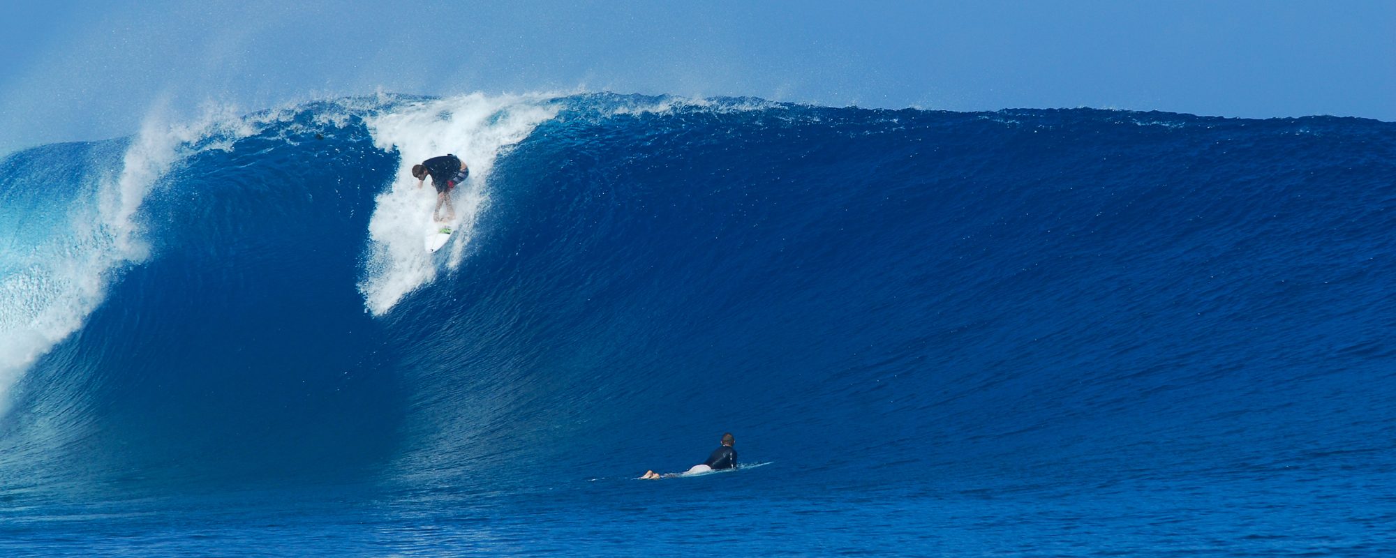
This is the best video I have seen of Garrett Mac’s, massive record wave.  Very clean, fairly close up footage by the videographer, and it appears some go pro footage was in there too.

Friday, should have some knee to thigh high leftovers, with maybe some waist high sets in Satellite Beach.  Should be semi to glass early morning.
Wednesday should be the day! from the remants of former Tropical Storm Dorian. Tuesday afternoon July 30 , 4:30 PM Surf Update , Surf Report ,Surf forecast for Cape Canaveral , Cocoa Beach and Satellite Beach (July 30, 2013 posted)


Wednesday morning and day, should be the day!  The swell, is supposed to be a solid 12 second swell (Ground Swell),  at around 3.5 feet, which should mean some 5 foot backs (or 5 to 6 foot plus faces) .  If the winds were offshore, a 5 foot back could give us some 7 foot faces, but the winds are supposed to be 3 to 6 mph se then ese, which should be clean lines, and not much faster than that all day.  The swell peaks in size between 9 am and 12 noon Wednesday afternoon.

Tuesday night (tonight), after 7 PM, we may see the size begin to hit the pier, but most likely it will be well after dark, before long lines are fully here.  But still, a near dark, surf session could bring some fun waves and size.  As of 3 PM, it had not hit the Ft Pierce buoy, or our 20 mile buoy.  Our 120 mile buoy has been out of commission for many months, else we could tell u when the swell would hit the beach 🙂  NOTE: IF WE GET A TSUNAMI, WITHOUT OUR 120 MILE BUOY, WE WON’T KNOW UNTIL IT HITS US, SO PASS THIS ON TO OUR STATE, AND ASK FOR THE BUOY TO BE FIXED !!!

Thursday, should be some 3 to 4 foot faces with bigger sets, with light onshores, and Friday, may have some waist high leftovers.

Tuesday Tropical Storm Dorian may provide some nice Surf ! Thursday afternoon July 25 , 2:15 PM Surf Update , Surf Report ,Surf forecast for Cape Canaveral , Cocoa Beach and Satellite Beach (July 25, 2013 posted)


Is there Epic Surf,  Great Surf or Decent Surf coming next week?

Compliments of Magicseaweed.com and there excellent hurricane tracking diagrams, replacing Stormpulse.com,  TS-Dorian-07-25-13-2PM-EST-MSW-1680by1050,  The chart shows Monday afternoon position of Dorian with my mouse over the 2nd yellow icon east of our coast.
Compliments of Magicseaweed.com and there excellent hurricane tracking diagrams, replacing Stormpulse.com, TS-Dorian-07-25-13-2PM-EST-MSW-1680by1050, The chart shows Monday afternoon position of Dorian with my mouse over the 2nd yellow icon east of our coast.

The models show, that Tuesday through Wednesday, we could have some size in the Chest to Head high range as it stands right now.  Yes, we are 5 days out, but fortunately, Hurricanes, are a little more consistent to draw conclusions, especially, when they don’t appear to be on track to run over a body of land before they hit us.  And Dorian, seems to have a much more Westerly path toward us, staying above Cuba and the other Islands.

As it approachs, we shall keep ya updated.  As I have mentioned, previously, Johnson Avenue Surfers, is here to share Photos, Video of our local crowd of Surfers, and only provide actual Swell surf reports. (skipping the day to day, 1 to 3 foot windswell weather reports that we get so much of which are totally unpredictable by weather patterns 🙂

Below, I shared a photo of Hurricane Leslie, that my buddy Mike Melito took by RC’s.

Tropical Storm Leslie photo by Mike Melito, from September 2012 at RC's
Tropical Storm Leslie photo by Mike Melito, from September 2012 at RC’s

Tuesday June 12 is looking nice! , plus Teahupoo Video incredible footage, Saturday night June 9 , 12:35 AM Surf Update , Surf Report ,Surf forecast for Cape Canaveral , Cocoa Beach and Satellite Beach (June 09, 2013 posted)


Mike buddy Mike, behind his Cocoa Beach home, April 2012

Tuesday as of tonight, is looking to be a 3.5 foot swell 10 seconds, which may be a ground swell.  Which could mean, Waist to chest at the Cape and Pier, and chest to shoulder high in Satellite Beach.

Right now the winds are showing SSW in the 5 to 10 mph range.

Maybe something like to the left for the Cape.

An awesome collection of footage from Teahupoo this year, incredible drops, Laird Hamilton SUP surfing, and lots of Gnarly wipeouts 🙂

TEAHUPOO MAI 2013 BEST OF from gilles HUCAULT on Vimeo.

Surfing Iceland Nixon Surf challenge video 2 DEGREE WATER TEMP!! , Surf Update for Friday afternoon 1:30 PM May 31, 2013, Surf Report ,Surf forecast for Cape Canaveral , Cocoa Beach and Satellite Beach (May 31, 2013 posted)


MORE CHOP W SOME SIZE FOR TODAY AND SATURDAY in the waist to shoulder high face range down South in Satellite, and smaller at the Cape and Pier with 15 to 20 mph onshore winds.  Sunday could have clean light onshore winds, in the 5 to 8 mph range, with waist high plus waves.

Thursday surf at the Pier, around 6 :30 PM last night was rib to chest maybe, but very fun drops.  If u waited, which I did , some long (longboard rides were to be had).  A brutal paddle out for shore.  Had to walk 1/4 mile south of the Pier (longboard), in order to get out, before the south to north current had me on top of the pier.  But it was worth it.  Had to wait 15 or 20 minutes for a wave, which they were only breaking when I drifted to the Pier (behind it), caught 2 fun waves and headed in.

There were two other guys out, a shortboarder getting plenty of rides, another guy who I couldn’t see much, and myself, picky and waiting for the wave that was worth the paddle back out on a 10.0 foot board 🙂

The video below, is some nice footage of clips of a Surf contest in Iceland, where the water temp was 2° Fahrenheit, Ouch!  But the guys shredded, and made it look like warm water reflexes 🙂

NIXON SURF CHALLENGE 2013 | EVENT RECAP from NIXON Europe on Vimeo.

Surf Big and Glassy Tuesday AM? Yes, 75% chance , we do believe so :) , plus Surf Video from Patrick AFB, and this is Monday night (April 29) 6:15 PM Surf Update for Tuesday Am surf, Surf Report ,Surf forecast for Cape Canaveral , Cocoa Beach and Satellite Beach (April 29, 2013 posted)


TUESDAY MORNING SURF, IS LOOKING AWESOME!  BUT………….The winds have been a little finicky, but as it stands, the Cape is looking to be Chest high and semi-glass in the morning, maybe glass, and in Satellite Beach, look for Shoulder to Head high, with some 1 foot overhead sets.  The actual 14 second period swell rolls in tonight. (yeah we had a 30 hour tease with the first one), more below:  THE VIDEO BELOW, COULD BE COMPARABLE TO WHAT WE HAVE Tuesday AM , but for that good, I will give it only a 50% chance 🙂

It looks to be SSW winds at daybreak in the 8 to 10 mph range, so in Satellite Beach, that is offshore, but for the Cape, that can be sideshore and/or slight offshore, but at 8 to 10 mph, it won’t be mirror glass, but still fun!  GET OUT EARLY, WHY?  IT LOOKS LIKE THE WINDS WILL BE OFFSHORE UNTIL MAYBE 10:00 AM, so don’t plan on trying to catch mid-tide at 9 am.

Wednesday, could be offshore for 2 to 4 hours also, same size, or a head smallerThe winds look to be more West on Wednesday, so it could be mirror glass for everyone, North and South.

Surf Thursday AM was Excellente! , this is Thursday morning (April 25) 11:30 AM Surf Update from Thursday Am surf, Surf Report ,Surf forecast for Cape Canaveral , Cocoa Beach and Satellite Beach (April 25, 2013 posted)


EXCELLENT SURF IN SATELLITE BEACH TODAY  🙂

Weather.com held consistent, as it is usually on for me, if I do a Melbourne Beach, Satellite Beach, Cocoa Beach and Cape Canaveral check so I can see the trend from South to North. It must be a high pressure causing the friendly wind conditions this week, for a lot of Wind Swell with size rolling in, I haven’t looked.  More about today, and later in the week below…

This is part six of a Video series, featuring mainly Kohl Christensen.  The one I posted 3 or 4 posts back, was the 40 foot plus faces in Mullaghmore Head, Ireland in 40 ° water , Ouch!, that Danilo Couto and a few others did a great tow-in session, and a few nominations for the Ride of The Year Entry for Billabong XXL 2013.  The video below, is some epic Mexican Pipeline Escondido, with Kohl, Greg Long and some massive 30 to 40 foot plus face waves and all paddle in, NO TOW!  Escondido, is one of the least User-Friendly beach breaks for big waves, but , they all managed to make the session look totally worthwhile and surviveable 🙂

Today, Thursday morning, It was solid rib to chest high, glassy, lefts were quite hollow, though when I paddled out today around 7:40 AM, it was 45 minutes before high tide, so it was a little tough to grab a wave, but when 30 minutes passed, that’s when the left’s did their thing, and the rights had just perfect , long workable walls.  Many 100 plus yard rides to be had.  That’s what always put’s a smile on my face.  Of course , only 3 other people out, well that also keeps one in high spirits.  One after another, even a little cover from a couple vertical left, rail grabber drop-ins 🙂

We should have waves all week, in the rib to head high range, the bigger stuff coming closer to tuesday.  Offshore winds, well can’t tell yet, but when we see the “Window”, we will pass it on to ya.

Have a great Thursday, and I hope you enjoy the Video 🙂

Oldwaverider

Surf Saturday AM? Yes, we think so :) , this is Friday night (April 19) 6 PM Surf Update for Saturday Am surf, Hurricane Sandy photos, Surf Report ,Surf forecast for Cape Canaveral , Cocoa Beach and Satellite Beach (April 19, 2013 posted)


What’s up with Saturday Morning Surf for April 20th?

Saturday, We should have knee to thigh high  at the Pier and waist high down South for this small incoming windswell.  Winds should be offshore 5 to 12 mph everywhere Saturday morning going from SW at 6 AM to NW  until maybe 10 AM.  Then it turns North winds in the 12 to 20 mph plus range.  THOSE ARE THE SWELL WINDS.  We also have a local scattered thundershowers that start around 10 or 11 Am in the 50 to 60 % chance, so that may affect our winds by 9 AM, hard to tell.  The Moral :), be in the water at 7:30 which is 3 hours after high tide going low, so that should work best anyhow for down South, and probably North.  We have a few other windswells coming in, back to back, thru the week.

Small, but rideable, and with a few other rideable days this week, though Saturday is the glassy morning, if the thunderstorms don’t come earlier than 10.

Below are some more photos I shot in Satellite Beach of a Hurricane Sandy 5 shot sequence of a maybe double overhead wave on the take-off 🙂  Photos were shot after my session, about 2 PM, October 28, 2013

Have Fun and have a great weekend!

Satellite Beach, Hurricane Sandy, october 28 2012, 5 shot sequence, photos by Oldwaverider
Hurricane Sandy, october 28 2012, Image 2 of 5 shot sequence, photos by Oldwaverider
Hurricane Sandy, october 28 2012, Image 3 of 5 shot sequence, photos by Oldwaverider
Hurricane Sandy, october 28 2012, Image 4 of 5 shot sequence, photos by Oldwaverider
Hurricane Sandy, october 28 2012, Image 5 of 5 shot sequence, photos by Oldwaverider

Mullaghmore Head, Ireland, massive Surf Session Video for Kohl Christensen and Danilo Couto, perhaps 40 foot plus faces also providing a Billabong XXX Ride of the Year entry for 2013, (Tuesday night update 9:30 PM) , Surf Report ,Surf forecast for Cape Canaveral , Cocoa Beach and Satellite Beach (March 19, 2013 posted)


WEDNESDAY AND THURSDAY COULD HAVE SOME WAIST HIGH OR BETTER GLASS, SEMI-GLASS…More down below…

This video is AMAZING !   Kohl and Danillo, hang tight in Ireland, to catch a massive storm/swell, bigger than Hurricane Sandy for the NW Coast of Ireland, at Mullaghmore Head.  40 foot plus faces on the sets, and a wall as thick as a country, and a barrel as tall and deep as a ship 🙂

Deep Water, Part 5 – Ireland (ep. 2 of 2) from Patagonia on Vimeo.

Wednesday, the winds turn offshore after 1 or 2 PM, in the West to NW way, 10 to 15 mph.  Should be knee to thigh at the Cape , and waist high plus down South, maybe a little bigger.

Thursday, a windswell rolls in on top, of the 1.5 foot at 14 second ground swell just leaving, so by afternoon, or maybe late morning, the 40 to 50% chance of rain, is accompanied with offshore winds, and probably waist high surf.

The swell leaves as fast as it came in 🙂

Have Fun

Carving n Cruisin at The Pier , a Video from the Pier on Thursday March 14 around 10 AM, Friday morning, with some thigh to chest high leftovers, (Friday morning update 8 to 10 AM) , Surf Report Update…Surf forecast for Cape Canaveral , Cocoa Beach and Satellite Beach (March 15, 2013 posted)


SURF UPDATE , thigh high and glassy at the Pier this morning, and bigger down South, and

Saturday should be Long Board fun and glassy in the AM, thigh to waist high plus down South, and perhaps knee high plus at the Cape, smaller than today, but still fun. It is still holding strong in the 2.5 feet at 13 or 14 seconds at our near shore buoy as of 10:30 PM Friday night (now), and at the Fort Pierce Buoy, still around 4 feet at 14 seconds, so we still have a nice ground swell hanging on.  The 120 buoy has been out since the 11th, but I failed to see that the last few days, so I guess my medication is working 🙂

Maybe Sunday. Smaller, but fun as this 10 day piggyback swell subsides 🙂

Carvin’ and Cruisin’ at the Pier Surf Video, as we enjoy learning the world of motion graphics, at Walk On Water Productions.  With some awesome talent at the Pier, some of our Gifted Longboarders, and some shortboarders workin on their Aerials…hope you enjoy!  I accompanied the video with a Jason Mraz tune, that seemed to flow with the mellow crowd yesterday morning.

Have a Great Weekend!

Oldwaverider