A sick 15 second video of a 10 to 12 foot overhead tow-in barrel from Hurricane Sandy. (he never dropped to the bottom third of the wave so it may be bigger 🙂
He actually gets barreled twice.
pete from Mike Risick on Vimeo.
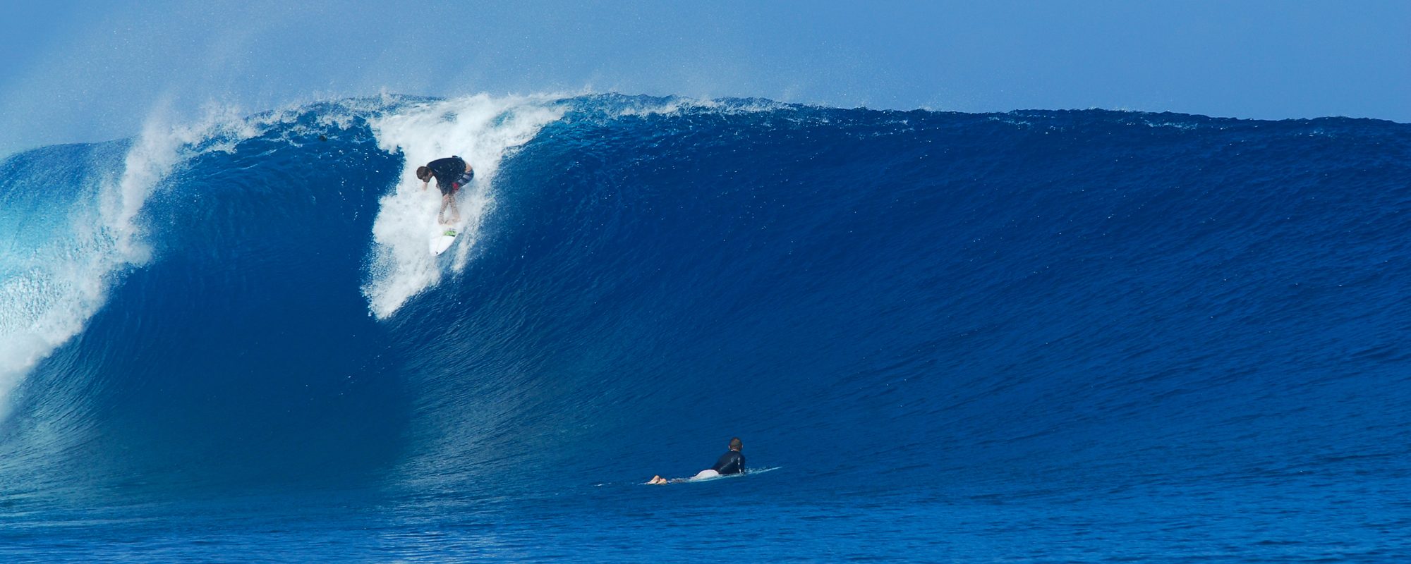
A sick 15 second video of a 10 to 12 foot overhead tow-in barrel from Hurricane Sandy. (he never dropped to the bottom third of the wave so it may be bigger 🙂
He actually gets barreled twice.
pete from Mike Risick on Vimeo.
CHAD’s 18 SECOND RIDE, SURFING VIDEO, 1 TO 2 FOOT OVERHEAD FACE…(Be sure to click “Full Screen” below on You Tube settings and also click 720 HD on quality)
We caught a spectacular, session with Shoulder to 2 foot plus overhead faces in Satellite Beach or Hangers.
I got some amazing rides by brother Chad, but this 2 foot overhead face, provided Chad an 18 second, 200 yard ride of perfection 🙂
This was the perfect, session, with waves that had power that kept your drop-ins, high, but wipeouts without headaches, go figure ,
Surf for Sunday should be waist high at the Cape, and Chest high in Satellite Beach, with 4 to 6 mph NW winds until 10 AMish, and then they go NNW around 6 until 1 or 2, maybe later.
Monday should also have some small but fun leftovers.
Oldwaverider
FRIDAY MORNING SURF, may be slower NNW winds in the 8 to 12 mph range here at the Cape. Size should be chest to shoulder high with bigger sets, and 1 to 4 foot overhead sets in Satellilte Beach.
SATURDAY IS STILL THE BIG GLASS DAY!
Textured glass today, and chest to head high, and overhead down south. Winds are still NW, but turn NNW for most of the day, in the 15 to 25 mph range.
HAPPY THANKSGIVING, Saturday still looks like the epic Glass Day and chest to head high! Friday, big and clean with winds probably like today.
 And dont’ forgot, HE’S WATCHING YOU!
Oldwaverider
Why all the waves? The East/NE swell we have had, isn’t fully leaving before a new Big E/NE Swell starts moving in, really hits Tuesday night, Wednesday morning. The rest of the surf report update is below the photos.
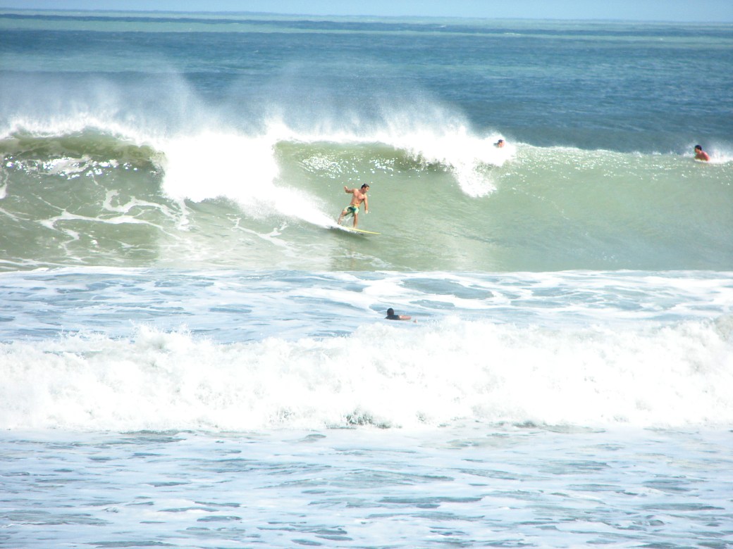
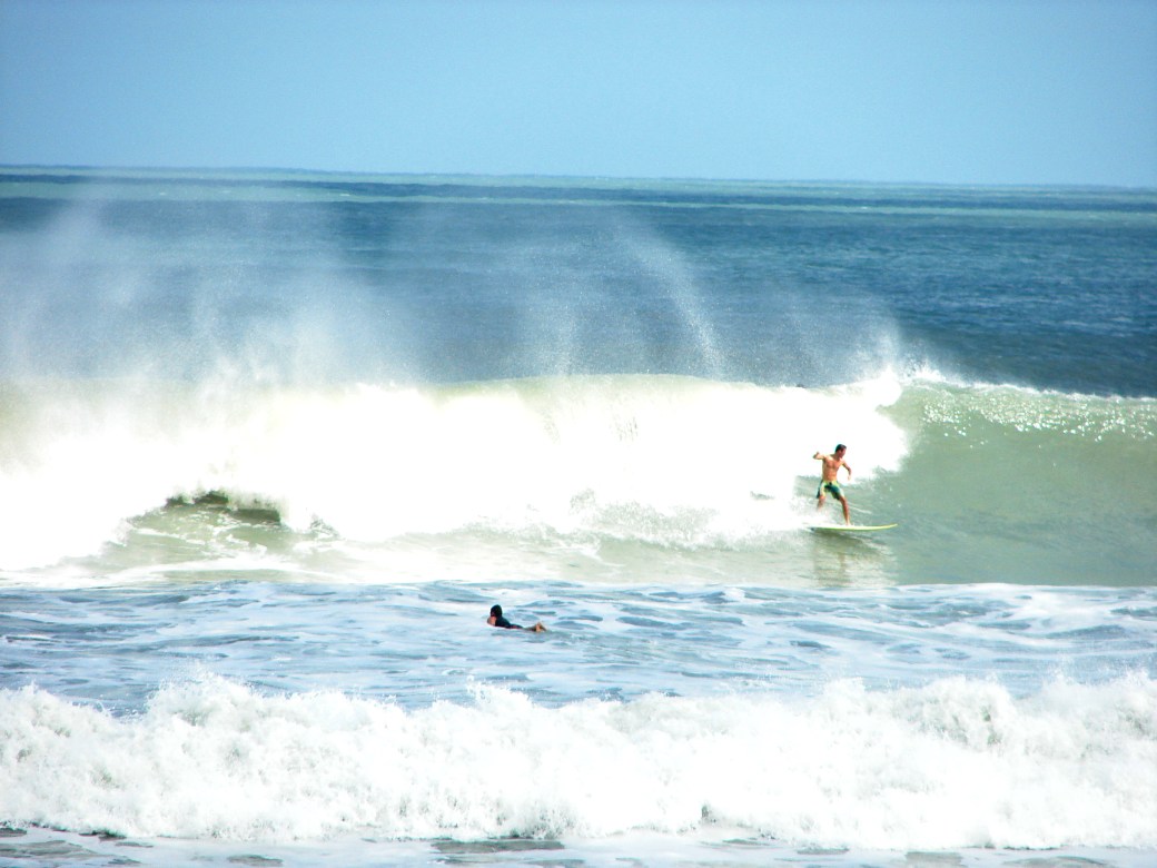
The size peaks probably Thursday afternoon to Friday, but the power of the swell really hits Friday and Saturday.
Monday, Chest high down South, we may have some waist high at the Cape, but it may not roll in for us until late Tuesday or Wednesday before we see chest high plus at the Cape. Winds should be NW in the 8 to 12 mph range, so it should be glassy everywhere, and I bet a few shoulder to head high drops in Satellite Beach with glass.
Tuesday , waist to shoulder high (for down South), with NW winds in the morning, but a little stiffer winds for Tuesday morning, but NW nonetheless. My guess, 10 to 15 mph NW winds.
Wednesday, chest to shoulder.
Thursday , shoulder to overhead (down south).  We could have some early morning, semi-glass up North here for a wonderful Thanksgiving day session.
Friday shoulder to overhead down south
Saturday shoulder to overhead, and Saturday, we could see the winds die down enough, and maybe get a glassy day from it.
Saturday Surf…Now looks to be chest high at the Cape and some Shoulder to Overhead down South, toward Satellite Beach. Winds should have some “slight” offshores until 9 or 10 AM Saturday morning, NNW in the 12 to 15 mph range, then turn North, Winds are now looking straight North at daybreak 5 to 10 mph and turning NNE by mid-morning, and increasing some throughout the day. (We may get a bit of NNW for an hour , but doubtful now) For 3 days, it did look like Saturday was going to be the perfect offshore head high epic day, but now it still looks fun if you surf up North, and get out there early. At daybreak, Low going high tide will be around 6-6:30 AM, with NNW winds, so it should be really fun then. Today was fairly glassy and in the rib to chest high range, with long rides at the Cape, and couple feet bigger down south , but not as clean 🙂

And it appears to be a full head high surf window for the next 7 days, when it looks serious offshore, we’ll share that of course.
Have a great weekend!
Oldwaverider
Swell update! The 120 mile buoy is rockin, jumping from 7 feet at 9 seconds at 5 AM this morning, to 8.5 or 9 feet at 11 seconds (solid ground swell now), so expect bigger size and more power than the great waves we had today, see video here from Tuesday November 13 at the Cape. (yeah, down south was 2 foot bigger, but it was nice to be only 1000 feet from the paddle out today after lunch 🙂
Thursday, size should be chest to shoulder high at the Cape and some overhead sets down south in Satellite Beach. Offshore winds Thursday AM, NW at daybreak for the Cape in the 4 to 6 mph range, switching to WNW and back to NNW by 11 or 12 and by 1 or 2, NNE or NE (onshore)
Friday Am, should be comparable size as Thursday, maybe bigger, looks like NNW winds in the 7 to 12 mph range, so we should have glass, but some texture, but hey, it sounds great!
Saturday still has the best chance of being head high to overhead and epic with perfect offshore winds, but we’ll let ya know Thursday night, if the winds still look favorable.
Water temp is around 71 ° so a spring suit felt good today (though last year I would have done just a rash guard, I think I’m finally gettin older 🙂
SURFING VIDEO FROM JOHNSON AVENUE TODAY
Surf with waves every day for a Week, Chest to Head High, with a few glassy days.
Tuesday is looking to be chest to head high, clean with North winds light at day break, turning NNE by 8 AM so get out early.
Wednesday is showing chest to overhead, and Weather.com shows NNW light winds until 11 AM which means glass for the Cape and clean down South, the models at Magicseaweed.com show onshore Wednesday morning, so for now I go with Weather.com.
Thursday morning looks chest high plus, clean, maybe early glass
Friday looks like a chance of glass similar size
Saturday, looks like definite offshore winds and head high. (which means, we will have a big glassy epic day on Sat or Sun, unless the swell bumps up early)
We’ll update later tomorrow with a wind update. I missed the glassy wind report for this morning, oops, my bad 😦
Thanks for your forgiveness 🙂
Oldwaverider
Photo Gallery from Hurricane Leslie, photos by Mike Melito, and one anonymous Boynton Inlet, FL massive wave.
Incoming ground swell for Friday morning should be bringing in some Chest high plus waves. Maybe not at the Cape, but the Pier or a couple miles South of the pier should see increased size the further South you go. The swell angle is so steep, at 9 AM Friday, 49 °, and straight offshore is 90, so our launch pads may block out a lot of this swell, at least the first day. (see rest of update, below photos)


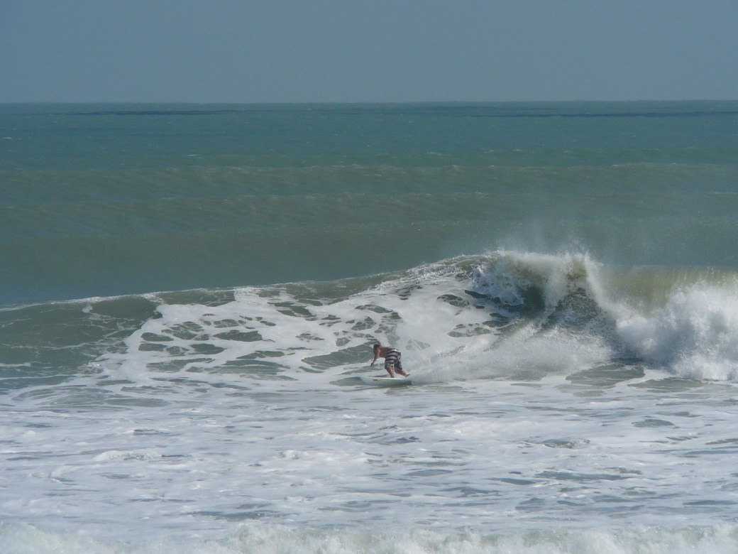
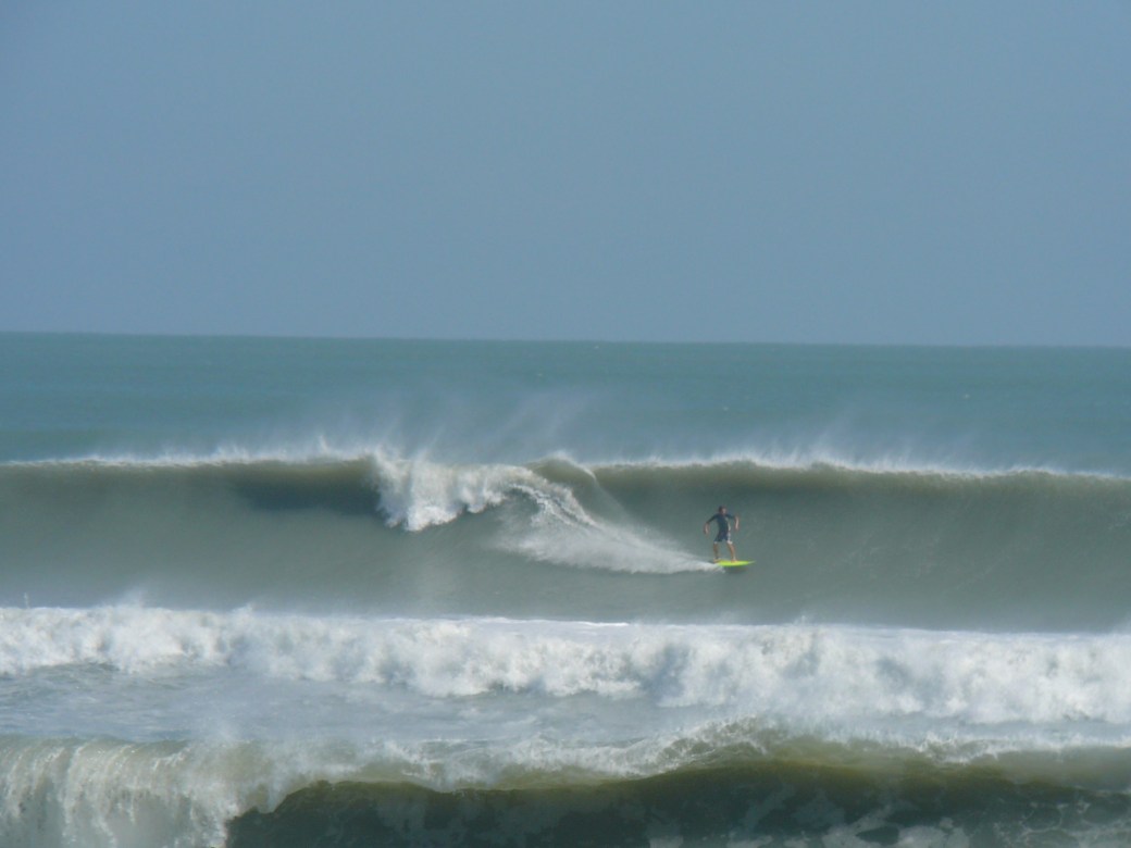


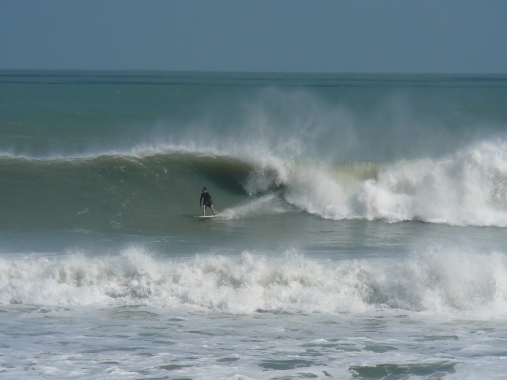
We should see chest to shoulder high ground swell type power surf with onshore winds most of the week thru Saturday, and Sunday and Monday, more of the same but less power and a wind swell, however;
Friday morning , the winds switch from NNW at daybreak, toNorth at 8 to 12 mph until around 10 AM, so we could have some semi-glassy waves, thigh to chest high in the morning, at least somewhere between the Cape and 4rth Street North. South of Minuteman CSWY, North winds are onshore.
DOUBLE OVERHEAD FOOTAGE VIDEO , BY PURE OCEAN TV FILMED AT RC’S, HURRICANE SANDY ON SUNDAY
We had a small but powerful ENE groundswell coming for Friday thru Sunday. Expect almost no waves because the swell that is out there is further than the 120, and the NW winds at the 120 won’t let the swell in anyhow 😦