Why all the waves? The East/NE swell we have had, isn’t fully leaving before a new Big E/NE Swell starts moving in, really hits Tuesday night, Wednesday morning. The rest of the surf report update is below the photos.
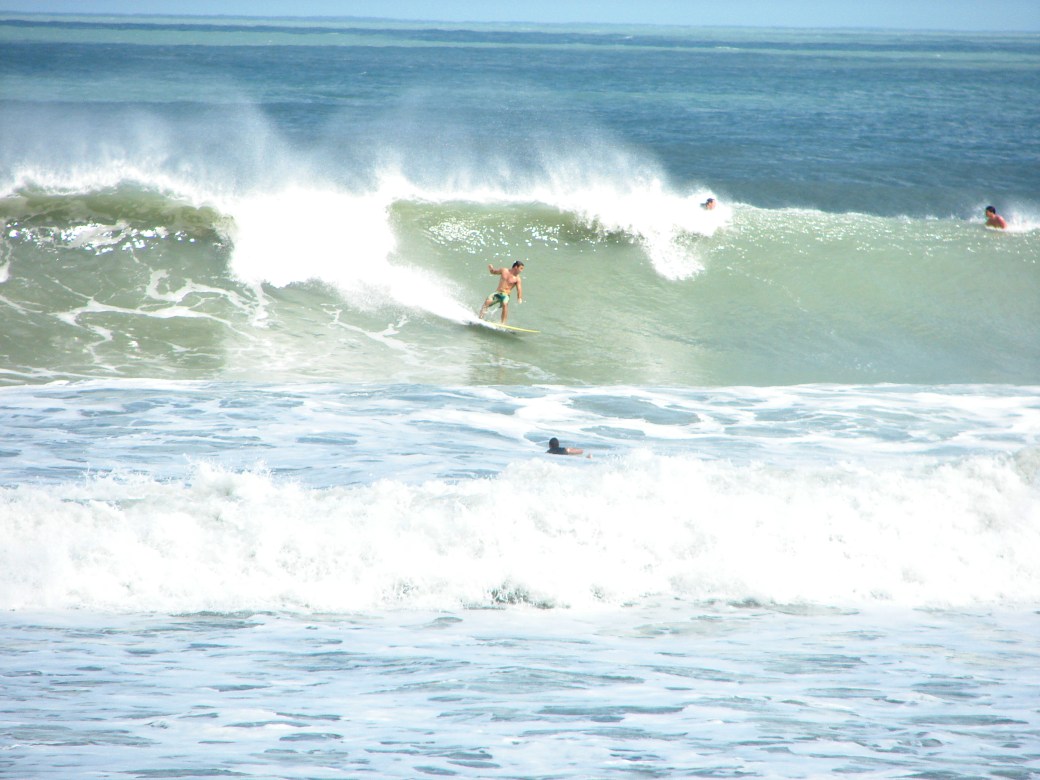
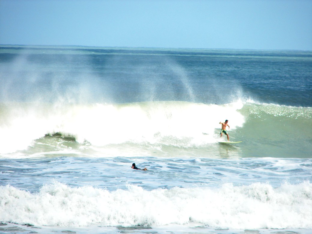
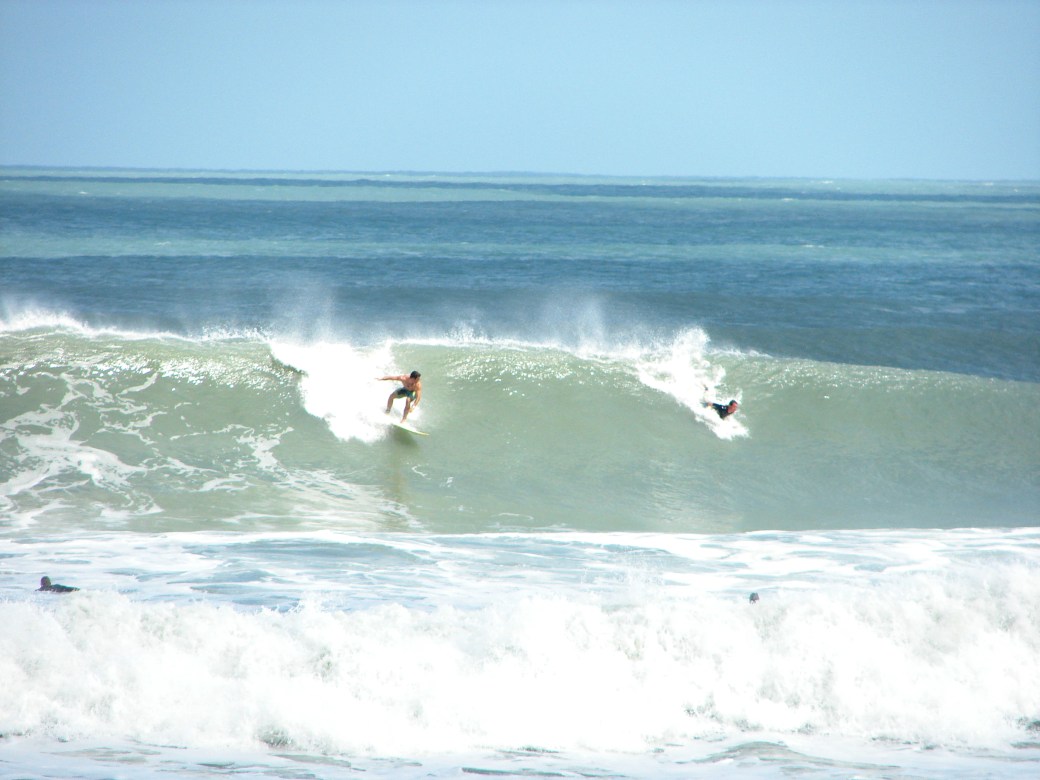
The photos here are more from Hurricane Sandy, Satellite Beach. I took them around 2 PM, after I had my session. The 2nd guy here was nice enough to pull out of the wave. A solid 12 foot face on the drop for the guy, but it tapered off in size pretty quick.


The size peaks probably Thursday afternoon to Friday, but the power of the swell really hits Friday and Saturday.
Monday, Chest high down South, we may have some waist high at the Cape, but it may not roll in for us until late Tuesday or Wednesday before we see chest high plus at the Cape. Winds should be NW in the 8 to 12 mph range, so it should be glassy everywhere, and I bet a few shoulder to head high drops in Satellite Beach with glass.
Tuesday , waist to shoulder high (for down South), with NW winds in the morning, but a little stiffer winds for Tuesday morning, but NW nonetheless. My guess, 10 to 15 mph NW winds.
Wednesday, chest to shoulder.
Thursday , shoulder to overhead (down south).  We could have some early morning, semi-glass up North here for a wonderful Thanksgiving day session.
Friday shoulder to overhead down south
Saturday shoulder to overhead, and Saturday, we could see the winds die down enough, and maybe get a glassy day from it.

