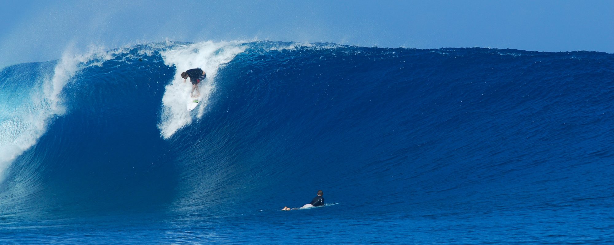
I believe we will have some overhead waves Monday morning, with North winds in the 10 to 20 mph range, so Jetty Park, and the South side of the pier should work best. Could be some really fun waves at the Port, maybe even clean, but size should be there.
Now, Tuesday morning now looks to be chest high up here by Canaveral with bigger sets, and NW winds in the 8 to 12 mph range, so get excited! Yeah, the data can change, but both Magic Seaweeds combined swell report (and magical programmers), along with our local weather channel both show offshore for Tuesday.
Okay, in a way I was wrong about the swell coming in late Saturday and/or this morning. It’s because the powerful offshore winds held or I should say literally pushed the swell away from the beach longer than I thought they would.
Ya’ll no I get long-winded, so for the quick report, you can check out http://www.cflsurf.com, or for some more detail about what’s happening, then follow along with me here 🙂
Having 2 big storm systems like this, just lots of strange swells colliding from the North and from the South can create confusion, and definitely not an exact science. The Nor’easter from the North and brother Tomas from the South. I’m calling it Thomas, call it what you want 😉 Tomas, weakened a little quicker, and is heading away more easterly than it was, so I think that’s why we should see some offshore winds on Tuesday now. But that’s also why the swell is dropping quicker , but Monday and Tuesday could be pretty darn fun !

Anyhow, our big indicator is the swell that’s hitting the 120 mile buoy, and the direction of the winds from the 120, the 20 and nearshore. Well, the winds have finally turned NNE at the 120 , at the 20, and at the 1 mile (which is actually down right now ;( , but at the 120, the swell size jumped from 7 ft, at 7 second period, up to 10.5 feet at 8 seconds as of 1 Pm today, and the seconds will be increasing from now thru Monday morning which means, groundswell by sometime Monday, and we should have a groundswell thru Wednesday morning, and then a new swell rolling in late Wednesday and for the next few days.
And, looks like waves all week, with some huge waves coming next weekend.
We’ll try to keep ya updated on the winds for Monday morning and Tuesday morning.
Have a great Sunday, and take a look at the beach to see the swell rolling in late today.
Later,
oldwaverider (Art)
