Full size images below if you want to click on them and see full screen.

SUNDAY NIGHT, 8:30 PM UPDATE!
The winds turn offshore at midnight tonight instead of late morning, still NNW, but lighter, like in the 7 to 9 mph range. I don’t believe that would be enough to blow the windswell flat. I think, it may take until 8:30 or 9 AM for the swell to have it’s full period and thus power, which works out well to be mid-tide with high going low. Also, the winds may stay offshore till Noon or 1. By 10 Am, they are up to 11 mph and increase now up close to 20 mph North on until dark. Back to my forecast that I gave this afternoon today>>>
We have 3 back to back wind swells on the way………..
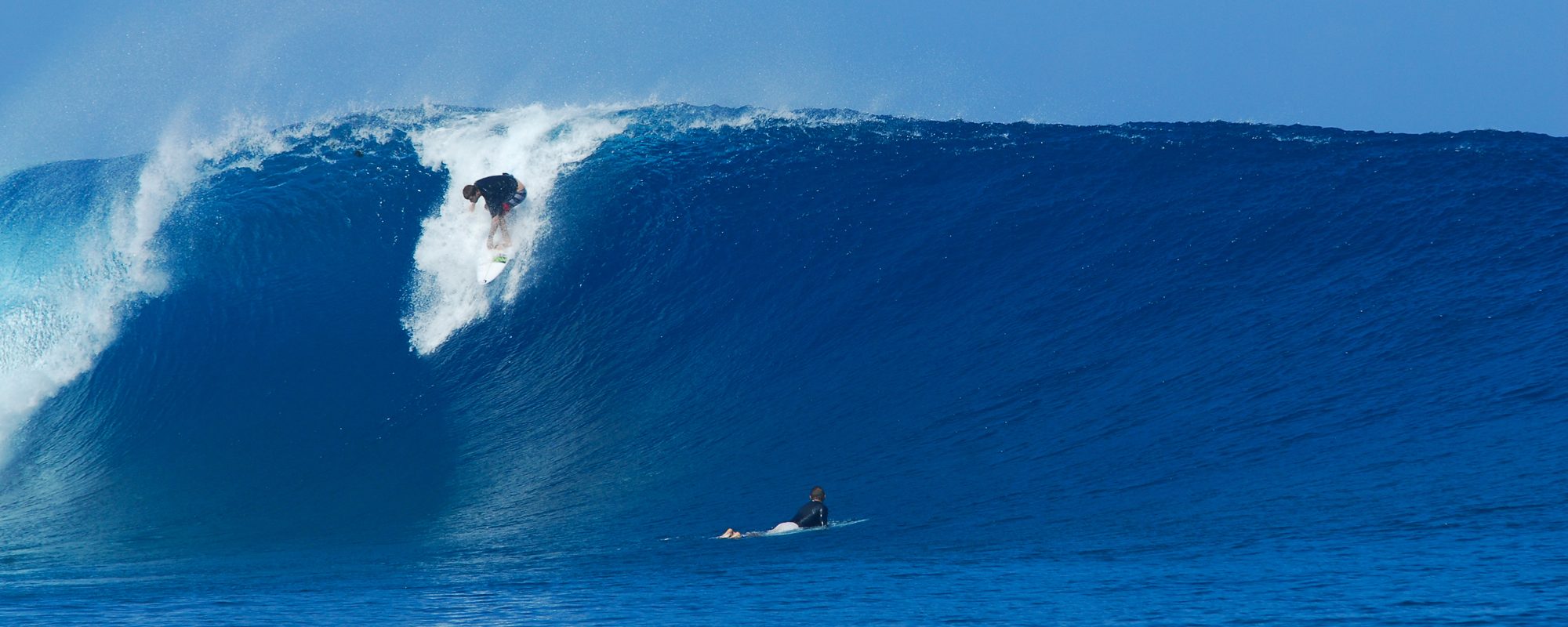
The photos here are more from the 2nd Big Day of Hurricane Katia after the swell had dropped 2 to 3 feet from the morning. (photos taken around noon to 1 PM) These were taken at the South end of Officer’s Club and the North end of 2nd Light. When Ken and I first paddled out, it was 3 to 5 feet overhead on the drop with an occasional double overhead set that came in 🙂 But by late morning it dropped to head high to 2 foot overhead on the set waves. That’s when I came in to take pics.

Back to incoming surf; Monday morning we have a small ENE swell blowing in, and we should have some stomach to chest high waves in Satellite Beach probably around mid-tide 8:30 Am when high is going low, so the Cape I believe should see some thigh to waist high waves, and the winds are looking to be NNW around 10 mph, so my guess, we will see some NW winds for a while, mostly NNW until 10 Am ish, then turning North before 11. Guess it’s a no brainer where to surf based on the winds, not the size 🙂

Then the winds ought to start blowing N and NE increasing to 15 mph and on throughout Tuesday, and bringing in the 2nd swell late Tuesday. Waves should be choppy, head high South and waist to chest at the Cape. Onshore winds all day Tuesday and Wednesday. Wednesday size should be the same as late Tuesday.
Thursday morning, the winds could swing around to the South and maybe SSW during the day, my guess is 8 to 12 mph winds, but I won’t know until Tuesday night for 80% accurate winds. Size, chest to shoulder high in Satellite Beach, waist to chest at the Cape.
Friday morning could be waist high and glassy down South, size at the Cape, probably knee high plus.
The 3rd swell, a distinct NE ‘ster, starts blowing in after dark Friday, and should provide some shoulder high big NE chop by late afternoon. By Monday or Tuesday a week out, we may have a fun big glassy day in there. BUT TO THINK THIS COULD BE ANY MORE THAN AN ESTIMATE WOULD BE HUMOROUS 🙂
Okay, get stoked about some chop and a little mixed glass, and some fun chop while high is going low tide.
oldwaverider
