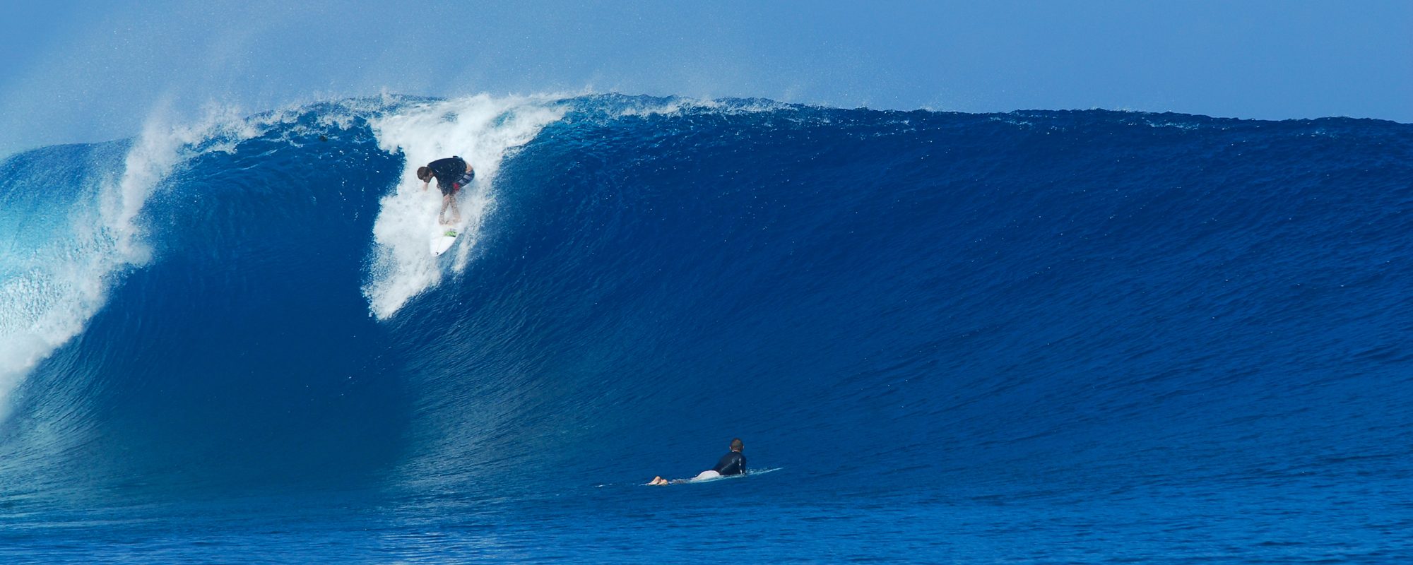
Hurricane Ophelia keeps coming back……….it was one of those swells that took perfect form at Johnson Ave. We have a finicky beach, and when the swell angle is just right, the winds are just right, and the picky tides are right, it provides us some incredible days, without crowds; typically.
This day, October 2nd, 2011 which fell on a Sunday had perfect Sun, perhaps good fishing, and perfect chest to shoulder high waves, depending on your height 🙂 Unfortunately, I don’t know who most of the surfers were that were out in the water for the two sessions of photos I did, except Dr. John. I was nursing an injury (broken record, yeah I know, this one was the back 😉 so it was a good

day to catch some shots. The guy in this wave perhaps someone can identify him for me, and as you can see he had the cleanest, most user friendly wave that let him even stall a bit while I snapped off a 3 shot sequence. (just kidding, actually the guy fishing was pulling in a 34 inch snook and the surfer was watching him, no, just kidding again)

INCOMING SURF!!!…………………………A fairly large NE ‘ster is on the way, but first has a small SE swell in the 2 to 3 foot range that may throw a little something for us to increase swell size today, tonight, and by late Thursday afternoon, the NE swell piggybacks the SE swell. The NE swell is kinda sloppy with an ill-defined fetch (small patchy areas of varying wave height), until sometime Saturday. Then the NE ‘ster turns ground swell and with a nice evenly distributed fetch. (fetch is just the area of the ocean that a storm covers and blows wind that creates a particular swell)
Thursday is looking to be glassy in the morning until around 11 AM, chilly, around 50 ° at daybreak, hopefully thigh high at the Cape and maybe chest high for Satellite. It turns NNE into 10 to 15 mph winds after 11 or 12, and goes to weak chop.
Friday, the size jacks up head high plus down South, and then whatever it chooses to let squeak by the Cape 🙂 It may take until Saturday for us to get some rideable chop to roll in, hard to say. Strong onshore winds NE Friday.
Saturday, Sunday and Monday, it looks to be powerful a few feet overhead chop with decreasing winds on Monday (yeah, it’s early to predict winds, but this is what the general model suggests), and the winds wrapping around toward the SE and then maybe (with strong probability) that it will turn offshore sometime between Monday night and Wednesday morning to deliver us our big offshore day.
This NE ‘ster should throw waves for at least 5 to 6 days for us. What a great year.
And I intend to be back out in the water again for this one. 30 days on land is brutal , especially when you missed 1 massive epic day (Nov. 10th), and 2 or 3 waist high 100 yard plus ride days.
oldwaverider
