A LATE SATURDAY NIGHT UPDATE. The storm just added another day to itself. For now, the model for the big offshore day shifted to Thursday now, but we’ll see; it could switch back to Wednesday. Below goes back to what I posted this morning, the other days hold the same, just Wednesday and Thursday may shift .
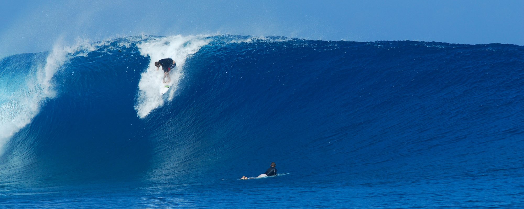
Another shameless display of surf photos taken of me on a day I was surfing TS Maria, 4rth street north. The photos are from Tropical Storm Maria on September 15 2011, taken by my old surf and high school buddy Mike Melito. He had taken an official day off work from Lakeland, so it was all legal like 🙂
The waves were waist to shoulder high that day, and I just did a 20 minute session in the water so Mike could get some shots of me, so I could come in and get some long overdue shots of Mike and also take some shots of my buddy Ken.

SURF UPDATE FOR US! Well, it looks like Wednesday is shaping up to be the big glassy ground swell day, maybe Tuesday night, but by Monday night, I should know pretty clear.

And yeahhhhhhhhhhhh!!!!!!!!!!!!!!!! I’ll be back in the water after a month.
The swell is still building, it probably peaks in size on Monday in the 8 to 10 foot face range down South.
Saturday (today) and Sunday it looks like chest high plus waves at the Cape and overhead down South in Satellite Beach. Winds mostly east in the 15 to 25 mph range both days.
Monday, as I said the swell peaks with 7.5 feet of swell at 10 seconds, so it should see some 8 to 10 foot faces, plus in Satellite. The Cape ought to see some head high waves and some overhead sets, strong East SE winds in the 15 plus mph range.
Tuesday, size should be chest to shoulder high at the Cape with S to SE winds in the 10 to 12 mph range (still to far out to be accurate, but that’s what the models are showing), and 7 to 9 foot faces in Satellite Beach.
Wednesday, we could have chest to shoulder high glass at the Cape, and shoulder to overhead glass in Satellite Beach. The winds could range from SSW to even NNW for the day as it wraps around quickly.
Thursday morning, size drops, but should still have waist to shoulder high waves from up North to South respectively.
Enjoy the swell, and catch it at dead high tide during the choppy days, and the paddle out will be relatively easy, with cleaner shoulders.
Later,
Oldwaverider
