So, Will we have a glassy epic day out of this big East/Northeast Windswell/Groundswell mix?
Thursday morning, The models for two days running, show that our winds are to turn North, slow way down to around 6 to 10 mph at daybreak, out of the North. They will increase throughout the day, but maybe only to 15 or so mph, turning NNE by lunch time or before. And the swell size, is showing 6 feet at 10 seconds, so that can produce solid head high to 2 foot overhead faces 🙂
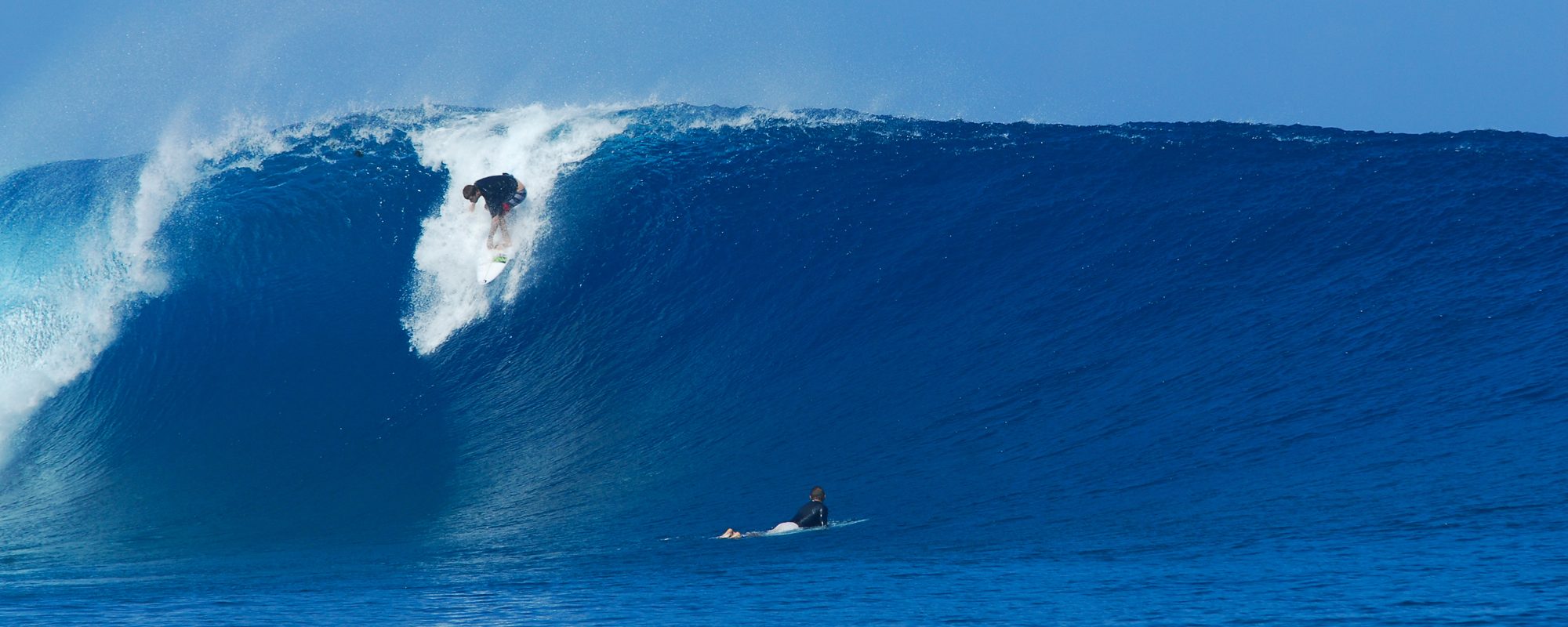
It is possible we could see some size close to these pictures when we had NNW winds the morning of Earl, though these photos were taken later in the day, and the winds were NNW to NW, but subtract one to two foot in face height, and we could see something close to these:

THE KEY THING TO NOTE HERE: Our 11/7/2013 Thursday morning, the swell period comes in Full steam at 10 seconds, and the Fetch of the swell (the distance in miles of Km’s, is 500 or 600 miles of nothing but one big chunk of 10 second period fetch covering the entire east coast Atlantic), so that means power and consistency and possibly, most likely very good form. Behind this swell, immediately, another NE swell of size starts rolling in, so we won’t have our surf let up before the next swell comes in.

Friday looks like big chop again if the models hold, as the winds whip back around from Thursday.
Saturday more big chop.

Sunday, looks like we could get chest to head high glass from the new swell, with an 8 second period swell, but that’s still a bit far out, to rely on the wind models.
