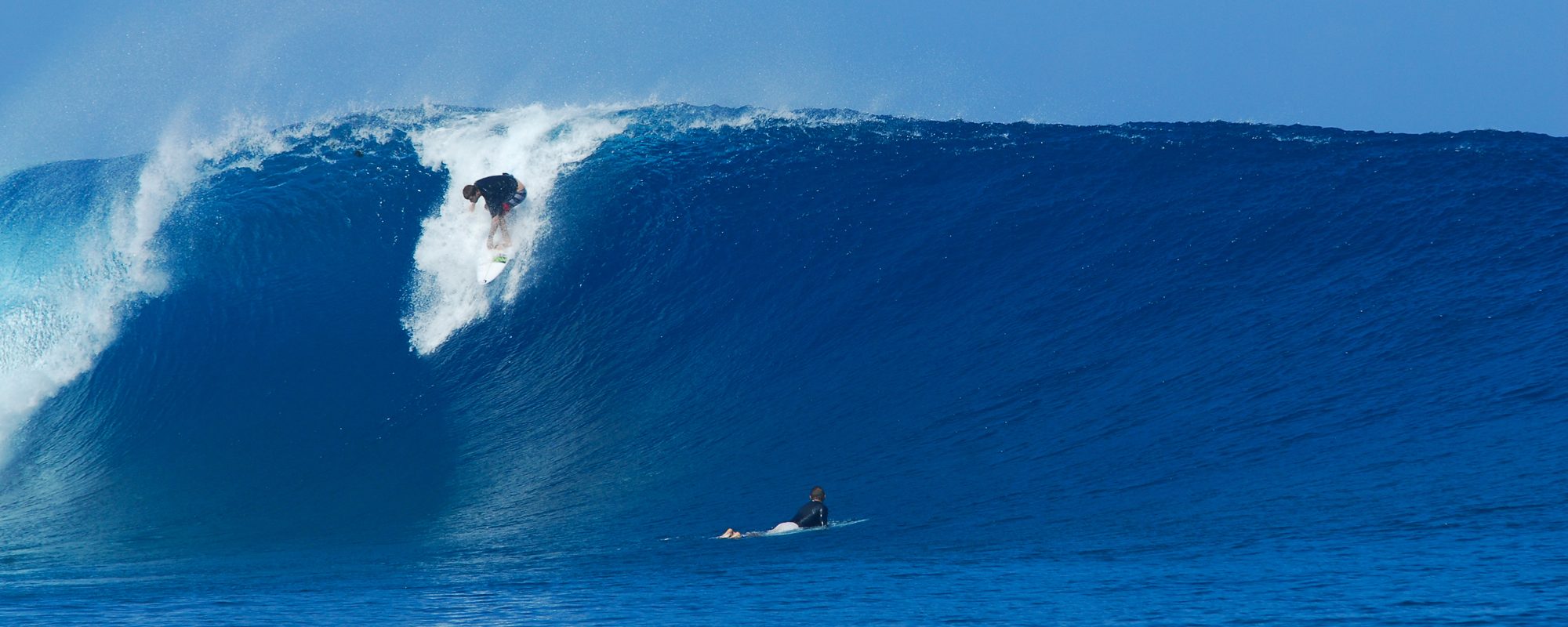
Can we expect rideable surf and glass for Tuesday morning early? I think so, thigh high at best, with NW winds in the 3 to 8 mph range, switching NNW mid-morning, until maybe Noon.
The swell is fading as you know, but there may be some occasional waist high sets in Satellite Beach, thigh to possible waist. NW winds hold well for Satellite Beach but it will be closer to low tide, but it should be fun for dawn-patrolers 🙂
Our friend here was pulled in by a fisherman at the Cocoa Beach Pier, about 40 minutes or so before I paddled out:

Here is a Nurse Shark:

Black Tip Shark:

Common Sharks of Florida website at University of Florida here:
Wednesday, afternoon a huge NE Windswell starts rolling in, very steep angle, like 42 to 45 degrees, so it may not be bigger than waist high by Wednesday evening, while it is hitting head high to overhead down south in Satellite because a NE swell comes in full strength in Satellite Beach just as soon as it hits. The Cape it needs to pass by a bit with the Port blocking much of it.
Big waves all weak with heavy onshore winds, and Sunday the models show a chance of being a chest high plus glassy day, but that could change to Saturday or Monday.
