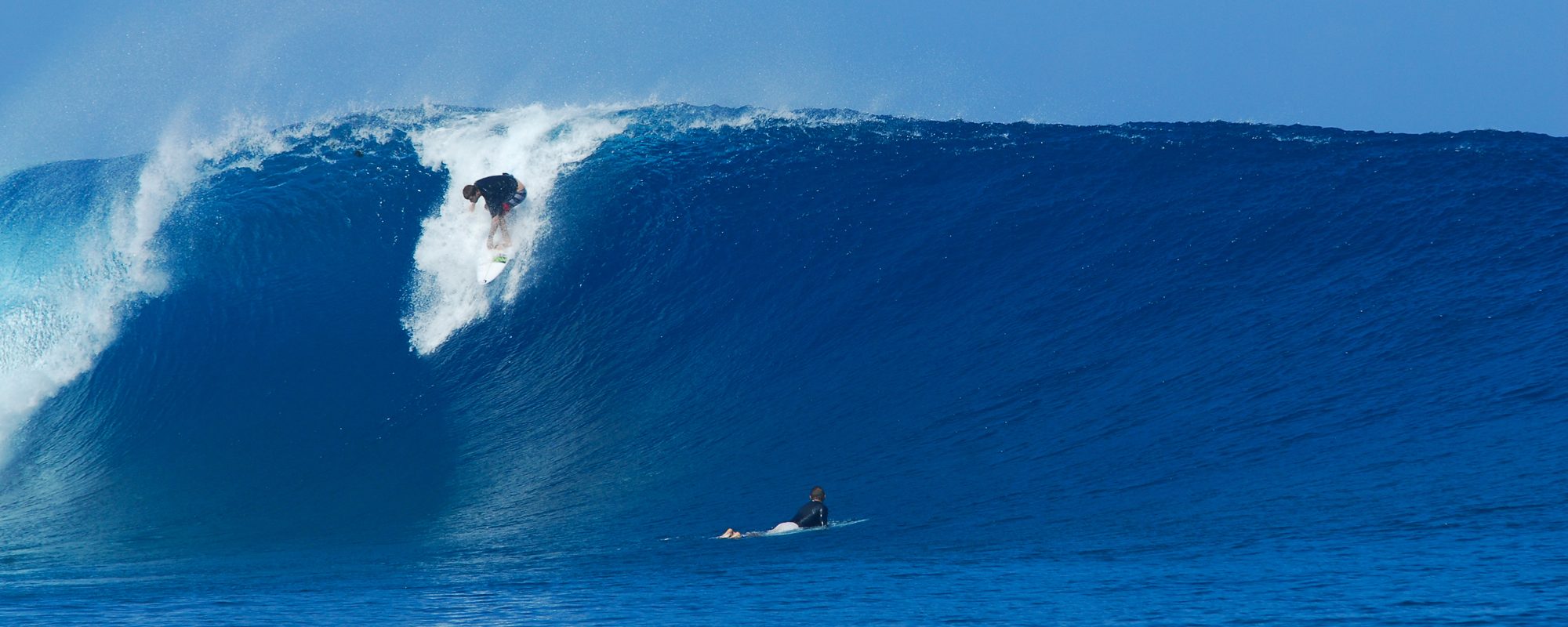
Yep, Tuesday is flip floppin, and may have an epic daybreak session, but keep your eyes for Wednesday.
I’ll update a lot more on Monday, but we do have 3 storms involved again, 91L is the one close to land and in North Florida land, while Gaston will begin it’s turn toward Europe on Wednesday. Hopefully storm 99L will fizzle out as it passes under or thru the Southern tip of our state.
The 120 buoy is down for now, so we won’t have that 8-10 hour window to let us know the swell is approaching. The 20 mile buoy no action, nor Ft. Pierce.
The models show 3-5 foot on Tuesday or Wednesday, but don’t let that keep your hopes down on size. As I shared the other day, Hurricane Leslie was 4 feet at 11 or 12 seconds and put up some spotty 11 foot faces in Satellite. So some 8 or 9 foot faces can probably be found, if not bigger.
More on Monday 🙂
