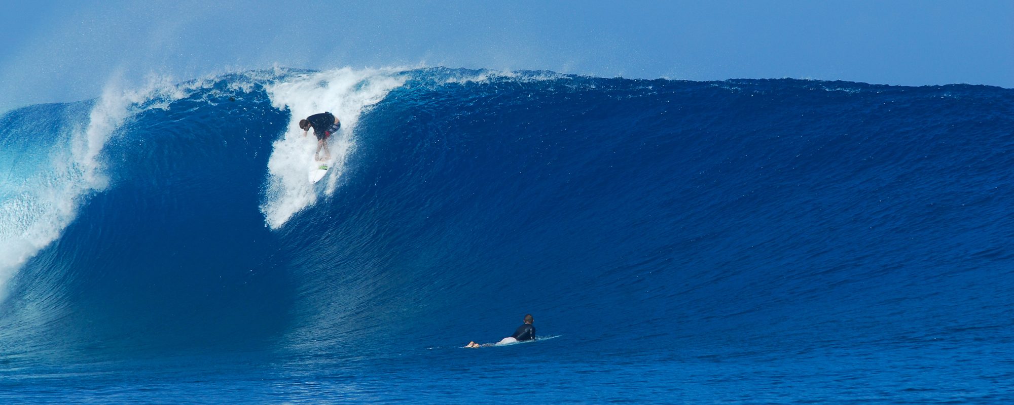
Looks like we have a 5 to 7 day swell coming in, the same puppy I mentioned Saturday. It actually has a 3 punch makeup to it. I also believe we will see the lines of a just barely ground swell at least by Monday, if not some time over Saturday and Sunday. It won’t be just a wind swell, I’ll stick my neck out here on this 🙂
First punch hits the beaches Wednesday morning with the full power of that part (when the period of the swell catches up with the waves, usually a day behind the waves), hitting Thursday afternoon, with yes onshore only winds. Wednesday morn the winds ought to be in the 10 to 15 mph ENE range, and picking up slowly thru the day, probably not to the 20 mph range. By lunch time Wednesday we should have some head high waves down south, and waist to chest here at the cape. The best paddle out time Wednesday is around 8 am with high going low, meaning, the most gentle chop conditions, otherwise just before dark.
Thursday morn, the winds start out at probably at 15 mph plus, ENE, and increase throughout the day as it delivers the full force of the swell period. (the swell is coming from the east, with some southeast on it) I believe Thursday late morning we should see some overhead waves like 1 to 2 foot overhead down south and head high at the cape. Paddle out time Thursday for the most mild chop will be around 9:30 to 10:30 am or just before dark.
2nd punch , Friday the heavy 15 to 25 mph onshore winds stay on it, with some 2 to 3 foot overhead waves down south, maybe bigger. 2 hours after high tide is the most gentle paddle out time.
Right now, it looks like 3rd punch Monday morning as chosen to be the offshore winds day instead of Sunday as the swell wraps around to the gulf, and maybe even some leftover offshores for Tuesday. Monday looks like it could be chest to shoulder high (down south, and waist plus at the cape) with strong offshore winds in the morning mostly west (over 10 mph maybe 15), but they should be slowing down as the day progresses.
Tuesday morning looks like it could also be offshore out of the NW in the chest high range south and waist at the cape, eventually turning North, but that’s pretty far out, as is calling Monday, but it is a big storm(swell), so unless it speeds up or slows down, we should see our glassy waves on a couple days for two 4 or 5 hours sessions from either late Sunday, on Monday or sometime Tuesday. God’s been good to us the last 20 months on waves eh?
We’ll keep ya posted as conditions change, or remain the same 🙂
oldwaverider
