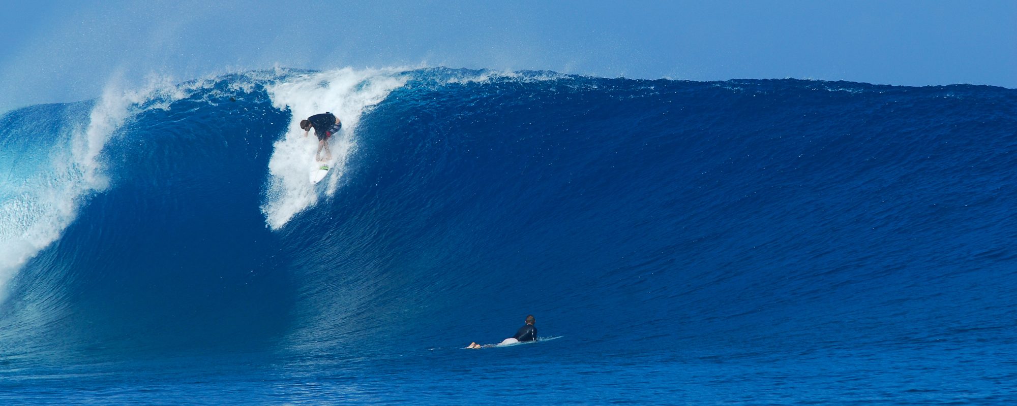
It was great this morning ! The Cape was totally blocked out by this part of the swell. In Satellite it was shoulder high on the drop w chest high shoulders and glassy until around 7:30 Am! Then it dropped off to waist high for an hour and then kicked back up to waist to chest. Still glassy when I left about 8:30 Am.
The next punch of the swell will kick in some throughout the day today (Friday) , in fact it just hit 6 feet at the 120 buoy at 9 Am this morning at 11 seconds which travels about 18 to 19 mph which would take 7 hours approx. to actually hit the beach. Last night at 9 Pm it was 4 feet at 10 seconds. So by 4:00 Pm today, the new surge will hit. The final punch of the swell coming in will be between 10 Pm and 1 Am tonight. It should hit between 7 and 8 feet at the 120 buoy.
I believe in Satellite Beach it will have some 1 foot overhead drops at least with shoulder high maybe head high shoulders down the line. The winds will be SW around 8 mph and by 11 or so turn WSW on into the afternoon. The period will have it’s main punch from dinnertime tonight throughout Saturday morning. It will have way more punch than it did this morning.

Sunday, it should be waist high plus down there, strong strong offshore winds, and then dropping throughout the day Sunday.
The moving swell chart pics here (frozen at 7 Am for this morning and the 2nd one frozen at 1 Am tonight), show how the swell will still be coming in until around 1 or 2 Am.
I believe the size will be as I said, the winds will be blowing offshore at 8 to 10 mph for 4 or 5 hours but I don’t think it will drop the size any yet since the swell period is still coming in.
Have a great session Saturday morning!
oldwaverider
