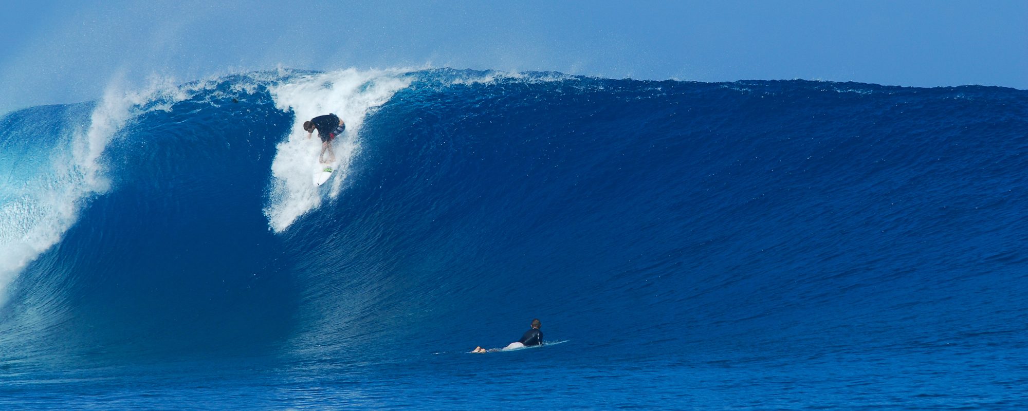
Classic Waves today! The slideshow is a 7 shot sequence of one wave. (The full size images are below if you want to click on them for full screen size)
My old high school/surf buddy Mike came over from Lakeland and we had a great waist to shoulder/head high perfect glass surf session behind his condo at 4rth street North. It was perfect glass up until maybe 10:30-11, but when it became photo time the winds jacked up to 12 or 15 mph SSW to SW so the perfect lines and smooth glass were gone, but it was still fun and nice waist to shoulder high waves. Plenty of 100 yard plus rides were had before the winds change 🙂 !!! If you want to see the full size images , than click on them below, it is the same photos that are in the slideshow.


Thursday waves…it should get almost blown flat tonight with 15 to 20 mph offshore winds that are bringing in this cold front from the central US. Maybe thigh high waves with 15 to 20 mph NNW winds switching to N by 9ish AM. Plus 45 plus ° air temps in the morning. The incoming swell doesn’t have any fetch really since it’s coming off land instead of water, so I think we’ll just have some chop with 3 foot faces or so until late Saturday. Hit’s too hard to tell with a leaving swell and a land mass cold front blowing it away 🙂

Saturday we a small NE’ ster combining with a totally massive Easterly swell that totally combine by Sunday night. Could be some 3 to 4 foot face chop on Saturday.
Sunday, may have some waist to chest high glass (waist- Cape, chest-Satellite), with a big jump in size by evening, along with a jump in winds up to 20 mph NNE.

Monday, big NE winds over 20 mph, and 8 to probably 11 foot chop down South and maybe 5 to 8 foot chop at the Cape by Monday morning.


Big overhead chop continues thru Tuesday and Wednesday, we’ll know more as the swell approaches.
Oldwaverider
