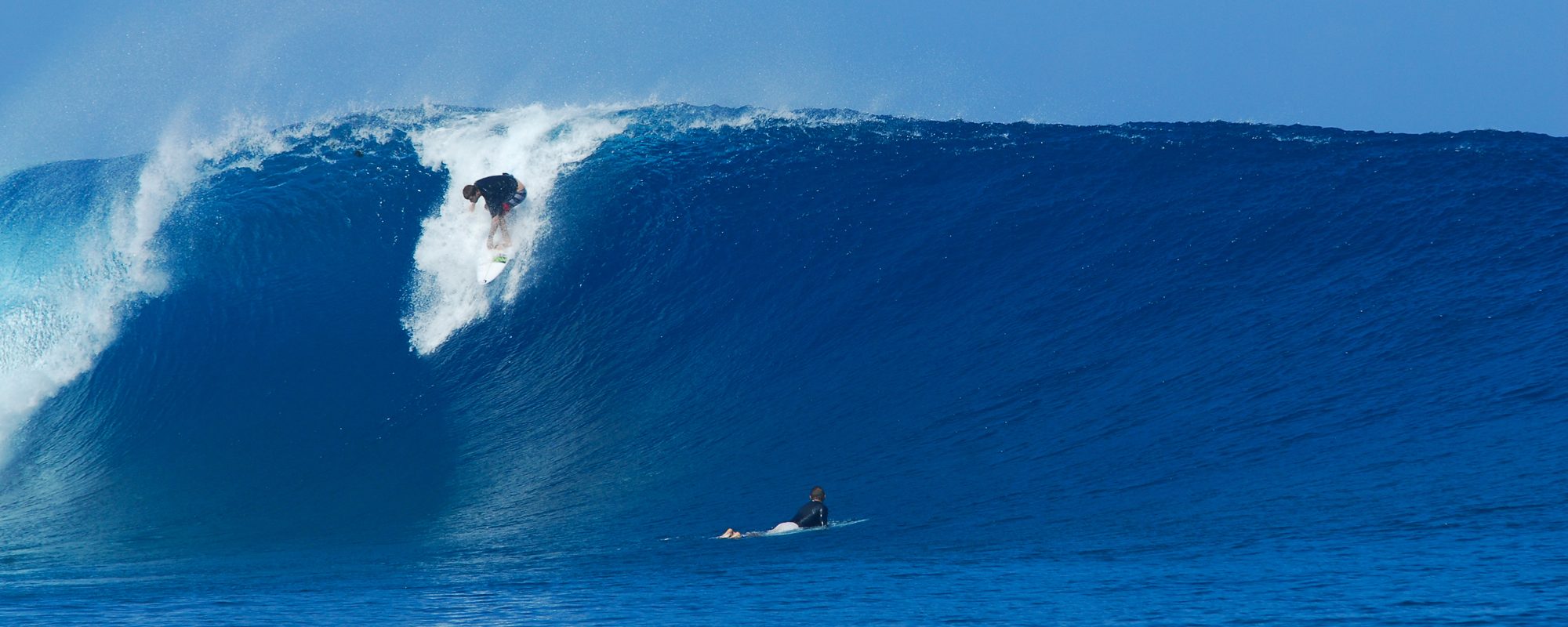
Friday night 9:00 PM update from the report I shared Thursday below this Friday update; Ground swell, is here, should hold, and winds still look SW to WSW in the 5 to 8 mph range on Saturday. And Sunday, we may have SSW winds which is slight offshore from 8th South and further South. Size should be the same, on Sunday or 6 inches bigger until 11 or 12 probably.
—————————————————————————————
Saturday morning could have a solid ENE Ground Swell for us with Waist to occasional Chest high sets and Glassy…More below on the incoming swell…
Walk on Water Productions website was out on Tuesday morning the 25th, to get the footage while it was Glass 🙂
The two videos below are some clips that I shot in Satellite Beach, both are from March 25, 2014 around 10 AM, with a nice Aerial at the end, and the second, is a clip of Chad that I shot on the same day, a nice glassy 10 second left 🙂 I will compile another video from the same day soon.
The swell period which determines whether or not we have a ground swell, starts rolling in Friday afternoon late, but come in Saturday morning around 6 to 9 am. And it is supposed to strengthen thru the day bringing in more consistent chest high sets. It could be glassy until noon even , air temp around 68 at daybreak, winds, SW to WSW in the 4 to 8 mph range.
Sunday morning, could be chest high, and semi-glassy down south, as the winds right now are showing South in the 10 plus mph range, so we won’t know more on that until Friday some time.
Enjoy, and we’ll post an update, if it looks like the winds will change drastically in any way.
Thanks, and have a great post Camel Day.
Oldwaverider & Walk On Water Productions 🙂
