TS Kate swell update at 9:09 PM Monday nights Tuesday AM swell report. The winds near shore just did the big drop from 15 mph SSE to 8 mph SSE, which is huge, at letting us know that 4-6 mph West winds will be at daybreak. Once the swell another 10 hours, it should be around 100 miles North of us, and the winds coming around to West by sometime after Midnight or 1 AM.
Tropical Storm Kate update for Tuesday morning swell at 3 PM. Kate has the perfect position for us, showing about 50-100 miles North of us for the Tuesday morning swell, and 300 plus miles due East. As you know, when a hurricane or tropical storm is passing by parallel to our coast, the winds turn offshore for us when it has passed us by around 100 miles + or – North of us.
So this is why the winds should be blowing offshore all day, unlike Florida’s normal teaser wind charts 🙂 Here’s the storm as of 1 PM reading at Weatherunderground for the 11/09/2015 reading. And don’t forget, we have 4 animated weather radar and hurricane tracking charts on Johnson Avenue Surfers. Once the storm gets within a few hundred miles of us; the page on our site is a drop down menu link under the “Radar-wind-surfbreaks” called “Hurricane Tracking …” and that link to our 4 storm tracking charts on Johnson Avenue Surfers is here: https://j-avenue-surfers.com/radar-wind-surfbreaks/radar-satellite-for-storm-tracking-from-merritt-island-florida-serving-the-entire-east-coast-and-brevard-county/
The wunderground.com link is here:
Do you remember the “Hercules Swell” last year? Did you miss the Belharra, France, 50-70 foot face surf video from last year? Incredible, perfect and massive 🙂 Video below:
This wind swell has a pretty wide Fetch, and as of last night at 10 PM, the 120 went from 4.3 feet at 9 seconds to 6 feet at 11 seconds by 4 am this morning. So this baby is part ground swell.
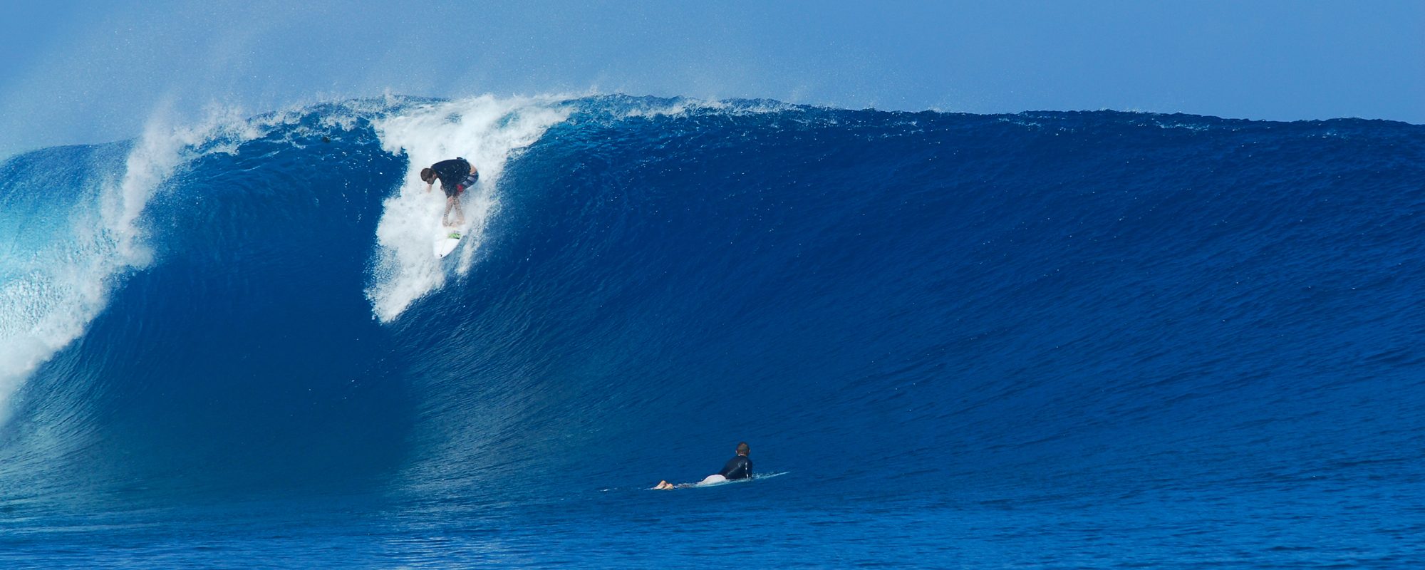
It is looking chest to head high on Tuesday ! Winds look offshore straight west (3-5 mph at daybreak) for the most part from daybreak until at least early afternoon. The tide ain’t so hot at daybreak, so it looks like it might be safe to stall your paddle out time a bit, to let the tide start it’s high to mid-low time at around around 9:30 (high is 6:37 am for Satellite Beach)
On Wednesday and maybe Thursday, the swell drops in size quite a bit, but should provide some thigh to waist high fun at the right tides and if you choose your wind time wisely 🙂
I’ll share more later to confirm wind for Tuesday morning.
