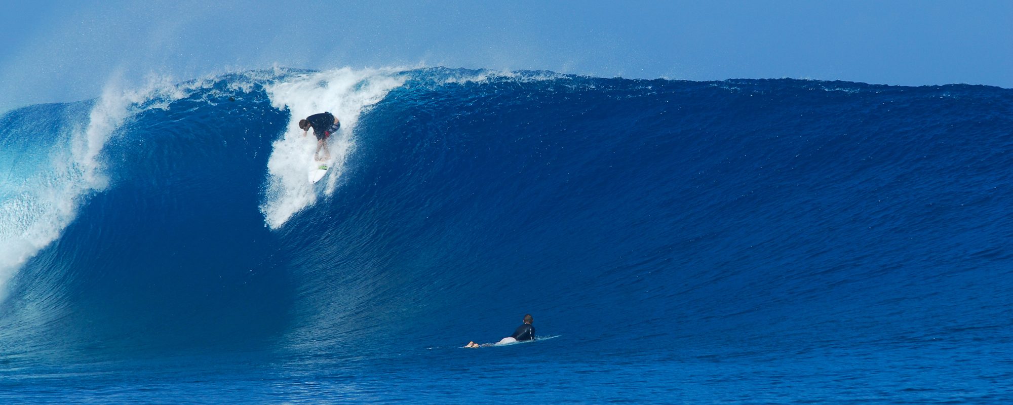
This is the 3rd day now, that the models are showing a 5 ft. at 9 or 10 second period swell with offshore winds for Thursday morning. Probably waist to maybe chest high in Canaveral, and shoulder high to overhead down south in Satellite Beach at my favorite breaks. But if it’s chest high here, I’ll be at the end of the street, yeah!
See the moving swell chart model screenshot for what Thursday morning 9/30/10 looks like. If you want to see the animation that shows you the progression of the incoming swell, check it out on the link below (Don’t forget to use the browser back button if ya wanna come back here for more ) : http://magicseaweed.com/Florida-MSW-Surf-Charts/20/
Right now weather channel plugin on my Internet browser (used Internet Explorer, yeah I actually can’t stand Firefox except when testing new sites I am creating and developing), the plugin shows that the winds for Thursday morning are now down to 5 – 6 mph out of the NW, but remember that’s from daybreak till maybe 10 am-ish, then NNW to onshore, NW which is great for us at the Cape, and actually everywhere: http://www.weather.com/weather/hourbyhour/USFL0089?begHour=20&begDay=272
