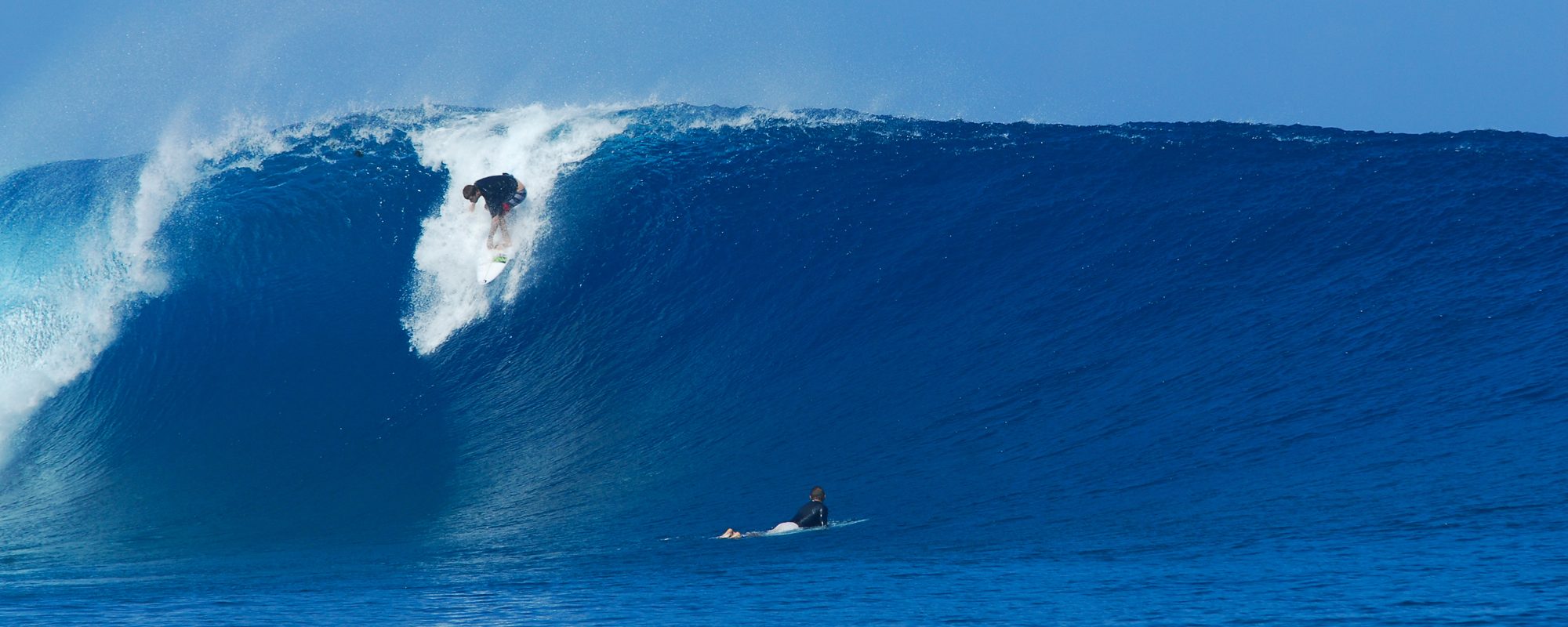
The low pressure system has moved up it’s clock a bit and increased projected swell size. Looks like it’ll start hitting Wednesday by mid morn, and getting huge, looks like a 9 foot 8 second period swell by late afternoon. Though that size can fluctuate, sounds exciting, but only time will tell, but seeing that the Fetch of the swell has some decent size to it to generate a swell, it still looks like Thursday morning will be the session, 4 to 5 feet at 9 to 10 second period with winds back to 10 to 15 mph range offshore, going from NW to West to WNW according to the Weather Channel:
http://www.weather.com/weather/hourbyhour/USFL0089?begHour=6&begDay=273
Friday morning looks like we could have some clean or maybe offshores too, in the waist high plus range.
Oh, and don’t forget about the massive swell rolling in as it stands right now, on Saturday afternoon, and climbs into the 9 to 10 foot range by like Monday. (High high onshore winds, anywhere from 20 to 40 mph though) But maybe we’ll get a few lulls from the wind to make it ridable for a few sessions.
That’s it for now Folks. Pray that Thursday is delivered to us.
Later,
Oldwaverider
