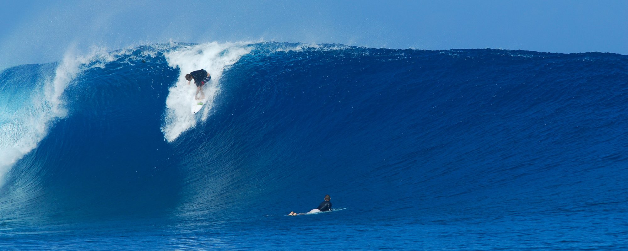
We still have a great chance at having 20 foot face size at the Pier (but it may not be until 3 AM Friday going Saturday), w North winds at 30 to 35 mph, which would be about 6 degrees offshore, so it could be semi-clean, and decent shoulders 🙂 The full swell period of 15 seconds hits around 3 PM Friday, so we could have the 18 to 20 then, yeah, I am jumping around a bit, but if it gets bigger than that, it will be in the middle of the night, early Saturday morning.
My final call at daybreak, is 10 to 15 foot faces between the Cape and the Satellite Beach (RC’s), and by 3 PM, from 15 to 18 foot faces. I don’t care if I get egg on my face, the biggest hurricane swell I have seen was 12 foot at 17 seconds, in the 15 foot plus face range, so this swell being 18 at 15 seconds, the only thing that may hold back the size is that it is moving almost direct North without a big enough fetch to generate the expected size. This will be a learning swell for me.
I would say since the winds on weather.com say it turns North at 8 AM from NNE, that by 11 AM, about 5 hours after high tide, it could turn clean. Winds in the 30 plus mph range is rideable, TS Hanna had 35 mph winds with 15 foot face heights at the pier and bigger at RC’s.
The TV cams will be at the pier I am sure, so it could be an awesome spectacle! and the safest place to surf.
Our ocean floor here is so shallow , unlike around the Bahamas, only until you get to Hatteras does the water get deep, but…………since this swell is so powerful and big,
it could provide a 1 to 1 ratio or 1.2 to 1 ratio on the wave that hits the beach. In Hawaii, an 18 foot 15 second period swell that we will have by mid-day Friday, would produce 50 foot plus faces sizes at Jaws, Maui, but for us, if it gives a 1 to 1 ratio, then maybe 18 foot faces. I’ll take it.
Have fun, be safe, and take a look at the epic size that God provides 🙂
Oldwaverider
