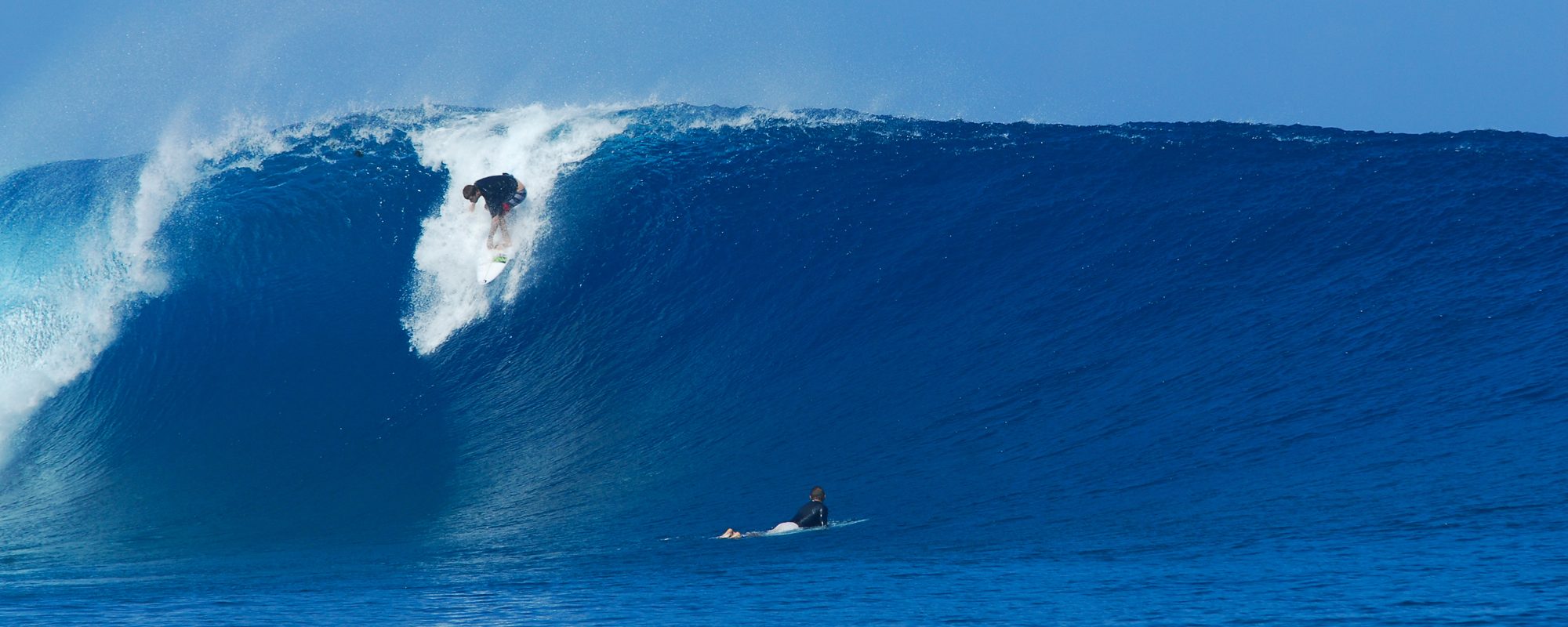
When does Edouard provide the first great Surf Day? Today marks the 3rd day that Wednesday will be big and offshore winds in the morning. What does big mean. The models for Hurricane Edouard show 5 feet at 15 seconds between 6 & 9 AM Wednesday morning. Note: Hurricane Leslie, was a 4.5 feet at 13 second period swell. Quite a bit less powerful than Edouard so far. See the rest of Forecast below Surf photo. At the bottom of this post is the path of Hurricane Edouard, an image from Channel 13 news Hurricane Tracking.
Below is a photo my friend Mike Melito took of Hurricane Leslie :
So what does the Forecast for Wednesday thru Saturday look like for Hurricane Edouard?
Wednesday is the peak of the swell, with 5 feet at 15 seconds most of the day. Size 5-7 foot swell, produces 2 to 5 foot overhead waves. West winds at 8 to 12 mph, and turns onshore by early afternoon.
Thursday swell size, 4-6 feet early, and 3-5 feet by 10 AM. Should be overhead to 2 foot overhead plus in Satellite Beach, with offshore winds , but only for a few ours in the morning.
Friday swell size, 2-4 foot, so it should be waist to chest high and even bigger sets. It may be offshore, but it’s still too far to confirm what direction.


