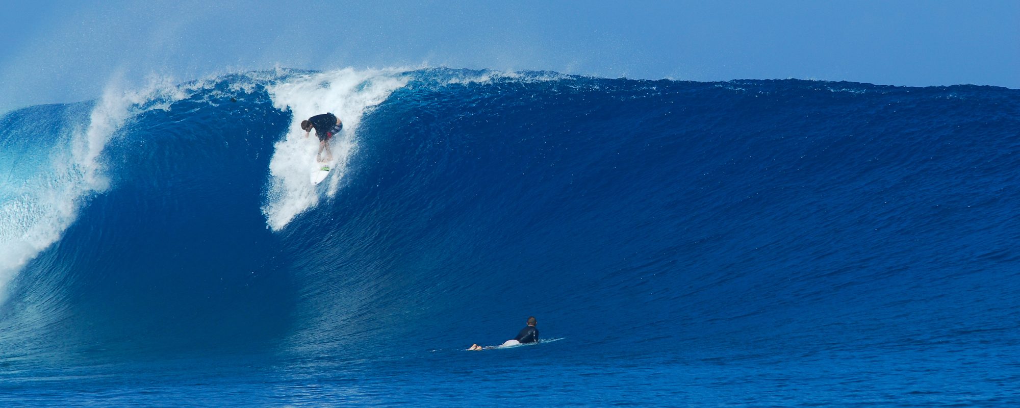
It still looks like the NNW winds at the 20 mile buoy seem to be holding much of the windswell offshore. You can see it at the horizon if you will, but at the beach it remains small.
The 120 buoy is holding around 6 ft at 7 to 9 seconds.
I keep checking to see if more of the swell is gonna come as a Nor’easter or an east/southeast swell as I mentioned earlier on the 3rd. With the St. Augustine 40 mile offshore buoy going from 5.2 ft at 9 seconds at 8 PM Sunday night down to 3.9 ft at 9 seconds at 8 Pm tonight it still seems our swell is more from the east than NE. And with our 20 mile buoy staying at 5.0 to 5.9 feet from 7 to 9 second period, this also seems to support an east swell.
Full link to the eastern Atlantic moving swell chart with arrows pointing swell directions: http://magicseaweed.com/Florida-MSW-Surf-Charts/20/
What’s this mean. I don’t know 🙂 I do know the 120 buoy will start increasing some time tonight or Tuesday during the day and that the switch to NNE winds at the 20 mile buoy should start bringing the wind swell to our beachs.
So, enjoy the fall like weather, I had a nice and different beach run this morning down to Cherry Down park. Decided to skip the pier run, and head North for a change. Nice breeze hitting me in the face. When I run tomorrow morning, I’ll have a better idea if any swell his hitting us yet.
Have a great night all.
oldwaverider
