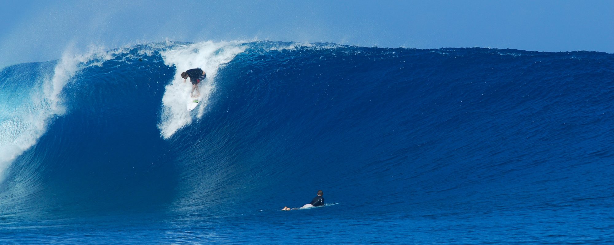
Full size images below if you want to click on them and see full screen.

TUESDAY, 7:30 PM UPDATE. I leave the report below for Wednesday.
IT WAS A FLUKE THING IN REGARDS TO SOME 120 BUOY READINGS, 5 – 30 MINUTE READINGS OF 6 TO 8 SECONDS, BUT THE BUOY WENT BACK UP TO 6 FT AT 12 SECONDS, SO HEAD HIGH DOWN SOUTH AND WAIST TO STOMACH, MAYBE……….CHEST HIGH AT THE CAPE 🙂
Below is the report from 4 PM earlier on Monday.
Ophelia did downgrade to a Tropical Depression, but that is no need to double your dose of Zoloft or Zanax. It just means that Tuesday the size may drop a hair, Wednesday and Thursday should have something but not as big either. (that was redundant wasn’t it?)

Tonight, if I see anything drastic changing at the 120 buoy, I’ll post an update, as far as a drastic drop in swell size for Tuesday. I am not expecting it, but I did see 7 feet at 12 or 13 seconds at the 120 buoy, and then a few readings of 7 seconds, but hopefully that’s just fluke data 😉
Alright, so now Tuesday is looking like waist to chest high at the Cape and Shoulder to Head High down South in Satellite Beach, as opposed to Overhead down South. No big deal. The winds still look to be SW around 8 mph at daybreak slowing down to 6 or so and WSW until around Noon. High tide is around 8 AM Tuesday so it could be really perfect from 10 Am till Noon, because of the mid-tide going low that works best for us. (I used Satellite Beach winds on this but they should be close to Cocoa Beach and the Cape)

Wednesday, it still looks to be chest high down South, and waist high here at the Cape. The winds won’t hang as long, daybreak they should be SW at 4 to 6 mph swinging around to WNW by 10 Am and NNW by 11 Am so down South the winds bite by 10 AM, whatever 🙂
Thursday we’ll just have to see the impact of Ophelia’s downgrade, but I am sure there will be something rideable, we’ll just leave it at that for now.

We have our next Tropical Swell coming in Saturday or Sunday, but we’ll get into that Tuesday or Wednesday.
The photos here I took in Satellite Beach; Hangers, Hightowers and Perkins. I got them a little mixed in together, so I’m just gonna call them Satellite Beach photos. For the most part, Hangers and Perkins were looking the best and Hightowers was looking a little watered down. That always happens between Hangers and Hightowers, just kind of a 45 minute to 1 hour timing thing. (I say that because those are my two favorite breaks, and quite often, Hangers will look like it’s holding back and hightowers is going off, and then other times vice-versa)


The last few photos, I stopped back at the Cape on Johnson Avenue and snapped a few shots there. The Cape definitely takes a hit on the swell because of the Bahamas, but we all know the Cape gets blocked out by South and North swells, aside from an exception once or twice a year.
Get pumped for Tuesday!
Later,
oldwaverider
