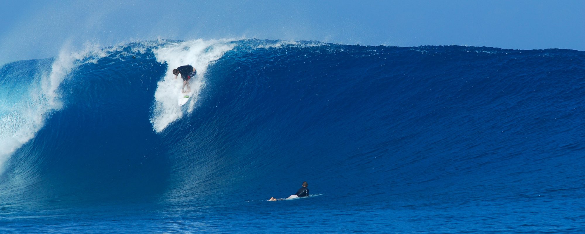
Wednesday is still painted for the now, “epic” day potential. 4 days running, the models have been showing 5 ft 11 second period swell (groundswell) with a chance of offshore winds. Chest to Overhead, North going South to Satellite Beach, with larger sets.
That offshore wind forecast for Cocoa Beach as of multiple checks by me today for Wednesday morning is showing, WSW winds at daybreak 5 mph SSW by 1 PM (yeah, the time is iffy along with the wind direction, but…we are in our 48 hour window or less, where I place 80 % stock that the winds will comply 🙂 Then the winds are to turn S to SSE after 1 PM.
Oh Tuesday, my bad; same forecast as Sunday night with waist to chest high in the Am, 6 to 10 mph SE winds and decreasing thru the day. The swell is growing fast thru the day so a couple hours before dark, we should see some Shoulder high faces on the larger sets at the Cape, and definite overhead sets down South in Satellite Beach.
Get pumped.
Air temps max around 73 PM Tuesday, and around 79 and Sunny on Wednesday with some clouds. Water temps near shore around 68.5 so Wednesday will be skinnable, definitely rash-guardable 🙂
Oldwaverider
