This is the largest model for a storm that I have seen, and of which for 3 days straight has been at 12 and increasing in model size and intensity.

The Epic day is shaping up to be Sunday October 29, 2012, with the models showing a drop to 12.5 feet at 14 seconds. The wave size for Sunday, would be a minimum of double overhead, most likely in Satellite Beach in the 12 to 16 foot face size with side-shore winds in the 20 mph range, NNW. It could be as much as 12.5 degrees offshore if it is true NNW if you will. Offshore but very strong for the Cape. Keep in mind, that when I surfed TS Hanna, in 2009, we had 12 to 14 foot faces at the pier with 25 to 35 mph NW winds, and I got one epic ride!
Monday is the next epic day also with double overhead waves and strong 12 to 18 mph NNW offshore winds for the Cape and North CCB only, based on the models right now 🙂
Obviously, models change, but his is exciting, and the Cape, and North of 4rth Street North is the only logical place to surf if you want winds that are offshore 🙂
Friday, with the models showing 18 foot at 14 seconds, we would see a few 20 foot faces roll in like on the October “91” halloween swell !
The screenshots above and below are the swell size progression for the week in bar charts and the second chart shows the size and swell direction and wind direction as the models now show.

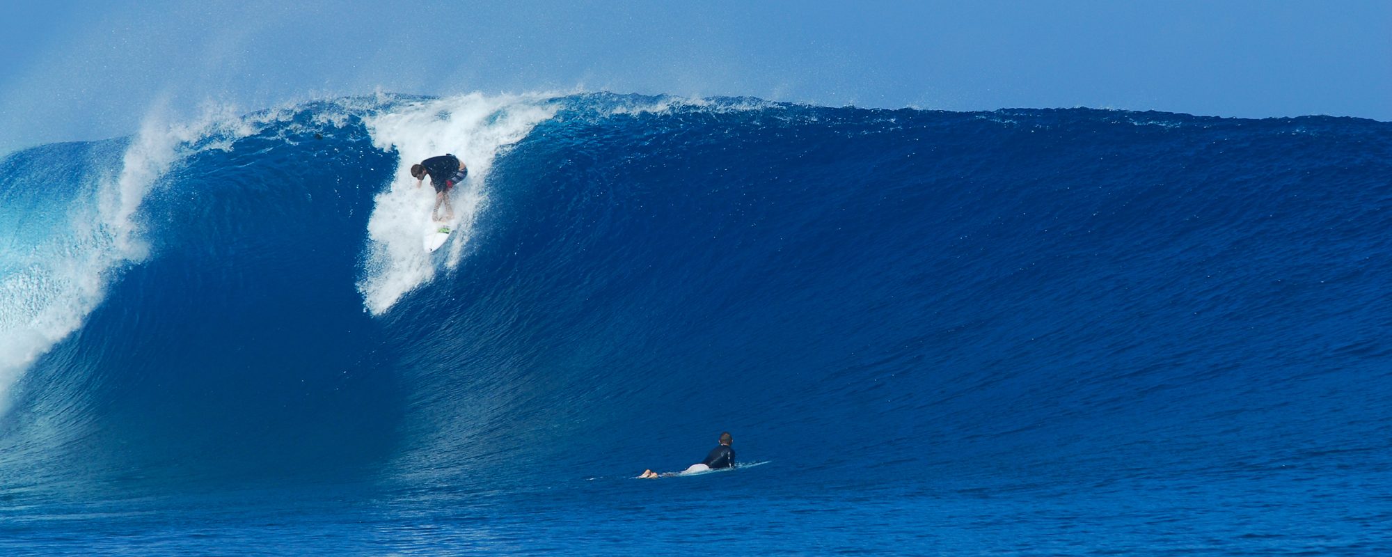
NOTE: In the photo I took below, the swell was an ENE swell granted, that was 6.5 feet at 12 seconds that produced a 12 foot face at least in one photo I took in this series,
and the swell we have coming shows 18 foot at 14 seconds on Friday at noon…for now with severe onshore winds, but it is not hard to interpolate, although, you can’t just triple the face size because of the swell size, (in the photo to the left was a 9 to 10 foot face before it barreled, and the 12 to 13 foot face photo in the series was double the swell model size) but you can at a bear minimum, multiply it by 1.2, which would give you some 18 to 20 foot plus faces. Anyhow, the swell will most likely drop, but either way, it is totally fun to see the models the biggest that I have seen since 2004.
