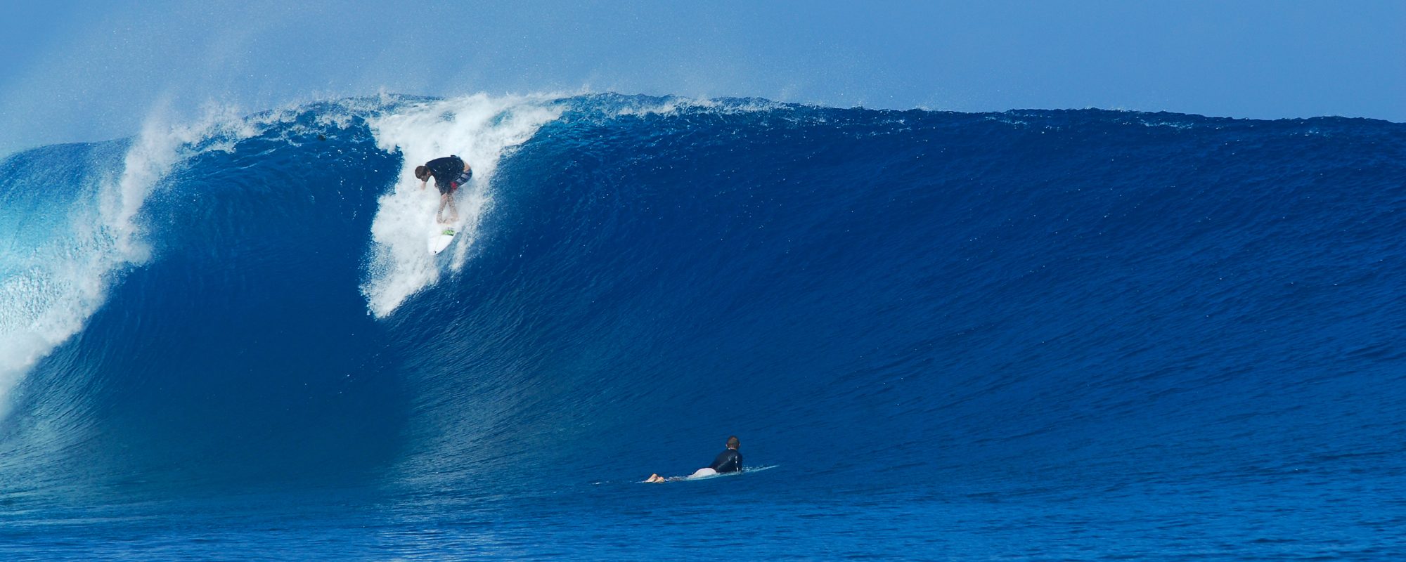
Sunday afternoon late, we should see some of the swell rolling in with waist high waves. The Groundswell/Windswell model, appears to build from Sunday thru Wednesday, peaking in the 5 to 8 foot range. Thursday, if the storm holds together, could be the big glassy day with overhead waves and offshore winds in the morning. The video below is of Hurricane Bertha in Cocoa Beach, 4rth street, from August 5 2014, shot around 10 AM that Tuesday morning. (it is still processing at YouTube, so by 7 PM or before, it should be ready)
For now, expect Sunday to have something around waist high late afternoon. Monday builds all day with probably some head high faces before dinner time. Onshore winds. Tuesday more of the same, but building.
Wednesday, could be the crazy day, anywhere from Overhead to 3 foot overhead with onshore winds. The fetch (diameter of the storm), is not that large, maybe 500-700 miles, and it cruises from a hug the Bahamas on the East side very close, parallels the coast, and if it holds together, as it passes Brevard by a 100 miles or so, we could have epic overhead waves with brisk offshore winds Thursday morning, or whenever the storm passes by and holds together of course.
Get excited folks, get some exercise, sunscreen and make sure your boards are prepped!
Oldwaverider
