That long period swell is on the way! Chest high surf in the morning, should be clean to glass. Posted Thursday, 9:40 PM 03/17/2016


It has hit the 120 buoy at 16 seconds, and seems to have first hit around 3 or 4 pm today.

Friday morning could be North winds, or offshore, as the winds are very light, and since land cools off quicker than sea, sometimes it blows a little offshore from that when the prevailing swell winds are very light.

Saturday is looking like the better day, with the same size but a better chance of straight offshore winds for 3 hours or so in the morning.

Sunday maybe waist high and fun.

I dropped this video in as some encouragement for tomorrow and Saturday 🙂

Surf on Friday ! 3 Days in a row, models say yes! Posted Wednesday March 16 at 11:00 AM


What size and shape can we expect?  Friday morning, has a 2-4 foot ground swell in the 13-14 second period range.  Should be waist to chest at the Pier, and waist to shoulder high possibility in Satellite Beach. Winds show offshore for the first half of the morning.  I will show charts and more later today, plus winds update. It’s easy to be Negative and say a long period swell is always closeouts.  I say,  Florida has the most unpredictable ocean floor and swell reaction, so I’m saying, get up early , and hope for the best, and by all means, check 3 surf breaks if you need to.  Because, many long period swells have had great form. Surfing was not meant to be a one spot surf only sport 🙂

Satellite Beach Surf video, plus Powerful Swell Sunday, BUT SHORT WINDOW OF SURF TIME, posted Saturday 6:40 PM March 05 2016


A 9:10 PM update from the post I made earlier today.  The 120 buoy hit 5.6 feet at 10 seconds at 2 pm, and now at 8 pm reading, it was 5.6 feet at 13 seconds.  The 20 mile buoy was 3 feet at 8 seconds at 6 pm, and now is 3.6 feet at 13 seconds, and the near shore buoy hit 2 feet at 13 seconds around 7 pm.  So it looks like the swell moved in a lot quicker , like 7 hours quicker.  Hope the NW winds are still going to be with us, but at least the swell is here 😉  End 9:10 PM update.

If you get out at 10 or 11, there may be some size, but it may be choppy or heavy N winds.  If you get out at daybreak, it may only be waist high , but glassy 🙂  Why?

Sunday, it should be waist to rib early, and maybe chest high while it’s still semi-glassy, then hard North winds. There is a short window, where the winds are NW in the 6-10 mph range, from daybreak till maybe 8 or 9.  Then they go NNW around 9 or 10 in the 10-15 mph range.  And North by as early as 11 am.  High tide is at 5:20, Air Temp is 59 at daybreak, but warms up to 65 by 9.  Water temp should be 67-68 degrees, so you can vest it or spring it, or just full suit it 🙂

The video below is two short clips of a couple nice little lefts at Hightowers, late in the afternoon on February 8th, 2016.


Enjoy Sunday !

Oldwaverider

Powerful NE Swell, coming in for Sunday ! plus, a Warm Up video from the Summer, posted 03/03 Thursday at 10:20 AM


Will it be big, glassy, warm or cold air for Sunday’s incoming ground swell?  Check it out below !  ………and,  for the Old , well and for the Young, I share a Longboarders video I did the summer of 2014, with photos I brought in from others of Piers, Beachs, all over the US , for variety, and a bunch of talented longboarders surfing a nice rib to shoulder high day in Satellite Beach.  I hope you like the Beach Boys, cause they seemed appropriate for a Longboard and Beach Ladies video array!


Well, we’re 3 days out, but for Sunday it looks like rib to chest high with a nice chance of offshore winds for the Northern end of the county.  (Not Playalinda, but for the Cape and North Cocoa Beach.  Winds could be offshore till mid-morning.  It is a one day swell , but a 2ndary wind swell comes in right behind to bring size on Monday, but the chances of big chop on Monday are pretty good.  High tide is 5:20 AM for Satellite Beach, so by 7:30 a good portion of the deep water should be back in the faucet.  Air temp is only 60 low, and 74 for a high, and the weather shows “SUNNY” 03-03-16-clip-art-pictures-of-the-sun-100w for Sunday !

We’ll give a couple updates on the wind and swell, as Sunday comes closer.

Have a Great Thursday, and we hope to have a new Website for you by sometime in March , early April.

Oldwaverider 😉

An interview with John John Florence when he was first invited to the Eddie, at age 19 or 20. Posted Monday at 7:20 PM, 02/29/2016


Well, the first question begs asking, do we have waves coming? An 03/01 9:35 PM Update re Wednesday surf.  The small swell hasn’t hit the 120 mile buoy yet, so don’t get your hopes up real big.  (end 03/01 9:35 PM update)

I  believe Wednesday we shall see some really fun thigh to waist high glassy waves, with almost ground swell in power.  It is a straight easterly swell, yeah, that’s  a trace different then all these NE’sters huh?  As it stands for now, it will be mostly cloudy Wednesday morning with 63 air temps at daybreak but warming to 68 degrees by 9 am.  The winds should be SW, turning West, to WNW in the 4-8 mph range at daybreak, and picking up to the low teens by afternoon, but supposedly, still offshore.  The water temp will be 68 something, so you may be able to vest it, or spring suit, or even skin it!

Okay, so check out this interview with John John just over 3 years ago.  When Mark Healey, gets the pleasure of walking up to the door of John John Florence, to hand him “The Eddie” invite 🙂  You have to love, how humble John John is, when he receives it.  He admits fear, and a little, duh, ah don’t know, all in a very down to earth way of just admitting,  Oh Sh_ t!  That is a brutal contest, but a great honor.  Ya gotta love that , to just this past Wednesday, that same kid, who has always been a Pipeline master, gets thrown into the same invite, and wins the contest with such calm, such confidence, and Masterful surfing and skill!

More of the Eddie … Massive NE ground swell perhaps by next Saturday night, posted 4:50 PM Saturday, 02/27/2016


Who doesn’t love watching Big Wave Surfing?  More of the Eddie 🙂

NOTE: THIS IS A 02/28 SUNDAY 7:14 AM, UPDATE FROM YESTERDAYS POST REGARDING THE MASSIVE NE SWELL.  Unfortunately, it has now shrunk half in size.  We’ll keep you updated during the week. (<<< end 02/28 update) We have a massive steep steep NE ground expected next Saturday.  Possibly 11-13 second period swell, with 8-9 foot of swell, by next Saturday night, as the models now show.

Surfing video clip from last Monday, 2/08/2016. Glassy and chest high plus surf coming for Tuesday, Feb 16. Posted Monday 02/15/2016 at 3:15 PM


Can we expect some fun glassy surf tomorrow, on Tuesday?

Tuesday morning, We should have some chest high glassy wind swell out there, that ought make the chilly water worthwhile 🙂  Winds should be offshore till at least early afternoon, and at daybreak, SW winds, brisk, in the 10-12 mph range, low tide around 8:30 am.

Check out the video clip from last Monday, a nice 14 second rib to chest high left (excuse, I couldn’t.  Every 20 minutes, a head high set would come through which actually had more juice and held up better, but only the longboarders were taking advantage of them.  Why?  The shortboarders would have fallen asleep waiting 🙂

Oldwaverider

Solid head high ground swell for Monday morning. Great wipeout Big Wave Award Entry, at Jaws, video. Posted 9:45 PM Sunday night 02/07/2016


Monday morning. This one day ground swell should bring some head high maybe plus waves, probably  down south only due to the angle.  The 2ndary swell should help as opposed to hurt the swell, 1.5 feet at 10 seconds on top of the 6 feet at 11 second swell.  Winds, NW to WNW 10-15 mph, and maybe West for a while.  High tide around 7:30,  and winds increasing to 20 plus by late morning , most likely.

Did I mention is should be in the mid-forties at day break ?

🙂

Big Ground Swell is here, but with strange, opposite winds from Sebastian to the Cape. Posted Tuesday 5:45 AM 01/26/2016


1:20 PM Tuesday update. Ouch, this swell, deceived us all !  My bad !  But it is offshore right now at 2nd light as of the 12:58 PM reading, 4 mph NW winds.   This morning, is was all warbly , variable disjumbled winds that did start out offshore.  Get it now, while it’s chest high down south and offshore 🙂

End of 1:20 PM Update, Tuesday.

At 5 AM and 5:45 AM, Tuesday morning, here is what we have: The Winds are really strange (almost opposite of what weather.com said last night, MSW winds I don’t usually use, the day of) but I think they’re gonna work out.  At Sebastian Inlet buoy, they were SSW at 5 AM and are now SW, so perfect down there.

At the 2nd light wind gage (on the Patrick AFB), the winds show North at 4 mph (at 4:58 AM).

At the Trident Pier (the onshore buoy at the Cape n Jetty Park) shows NNE at 1.9 mph.

So I think, that at surf time, daybreak, winds will be NW and turn more West by 9 am, at the North end of county, and 2nd light I think will come around NW, so at very light 2-5 mph, so we could have our epic surf this morning 🙂

If it does go offshore as I believe, we should have waist to maybe, chest high with bigger sets at the Pier, and Shoulder high to 1 foot overhead plus sets in Satellite Beach.  High tide at 9:13 Am in Satellite, but with a 4 foot at 12-14 second period swell, I think the swell will break right thru high tide wherever you surf.

It will be cloudy, so skinning it may be chilly 🙂  Water temp is 62.6 and will hit 63 today.  Air temp is 57 at 5:45 but will hit 64 by 10 am.

The waves will only be offshore till 10 am I believe, so get it early !

Oldwaverider 🙂
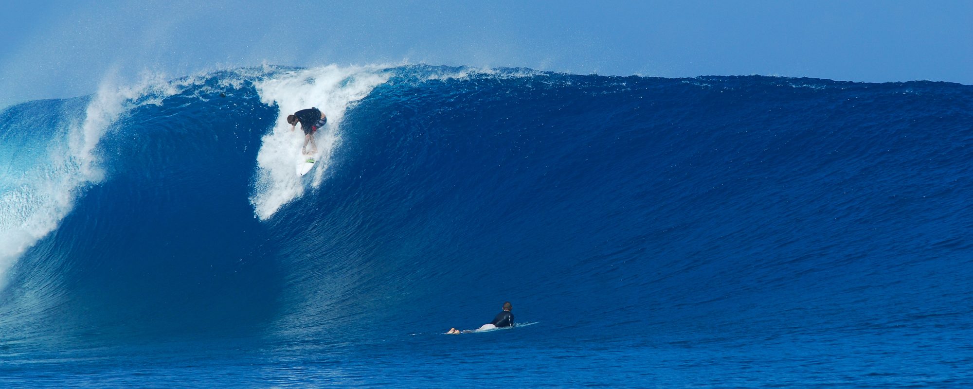
A Powerful ground swell coming ? , posted 8:50 PM January 24 2016


Monday night update at 8:50 PM:  I believe we will have offshore winds down south (Patrick and Satellite and further south), in the 3 to 6 mph range, SSW turning SW and maybe more west up until 9 or 10 am.  Size, shoulder to 1 foot plus overhead, with a few bigger sets.

End, Monday night update 🙂

Yes, we do have a powerful, long period ground swell coming.  And yes, the swell starts to come in Monday, and it appears that we will have offshore winds Monday morning.  But your excitement is better focused for Tuesday or Wednesday 🙂

The offshore winds Monday morning, will be blowing the leaving swell glassy, but will not be offshore for the new swell, not really.

Wednesday morning looks like a chance of some SSW offshore winds, with some chest high stuff.  Tuesday, we need to watch closely, because if the wind models do change, Tuesday is the big day.  Playalinda and Sebastian could be awesome.  Why?  Because the winds , as it stands now, appear to be SSE to South on Tuesday.  And Playalinda and Sebastian shorelines face totally different direction than CCB or Satellite, and way off base for the Cape.

Playalinda is 32 degrees offshore when the winds are direct south.  Sebastian, 26 degrees.  Otherwise, tomorrow, we will check the models to see if they swing around for us.

If it blew offshore Tuesday, we would have some nice 2-3 foot overhead waves.  Say a prayer, and lets hope for the winds to change for us Tuesday 🙂