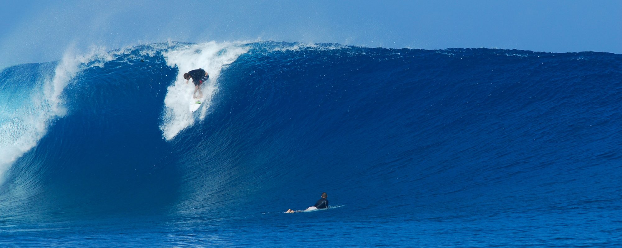
UPDATE FOR TUESDAY MORNING. Katia is a Category 3 Hurricane with 125 mph winds. It is supposed to hit Category 4 this afternoon, and fortunately still keep heading North. The reason we have probably 3 days of great waves and the 2 or 3 other days of waves, is not only the strength, but because it’s traveling slow at 10 mph NW, and is staying about 700 miles east of us and throwing in a long fetch for the swell. It’s staying far from us, and pretty far west of Bermuda to avoid major damage, and then headed toward the North Atlantic so that England and France can get some fun out of this. What a nice Hurricane! Back to last nights post and what’s what for Tuesday thru Friday below.
Tuesday morning, chest high at the Cape, head high plus down south. SSW winds starting around 10 mph at daybreak and increasing to probably 20 mph. Best place for those direction winds; Down south , like 8th street south to Satellite Beach. Up North, SSW is sideshore to onshore. Could be fun but find the right break to handle the angle of the winds. Don’t wear yourself out on it though, Wednesday and Thursday are the days 🙂
Wednesday, head high plus, probably just overhead at the Cape. And at Satellite Beach and maybe 2nd light, should be 3 to 4 foot overhead at the right breaks, still overhead about everywhere. Light SW winds in the 4 to 6 mph range, perfect down south. At the Pier and the Port, the wind angle is offshore, but barely, since NW winds are perfect for us, and SW is offshore to sideshore. Since they are light, it should be good everywhere. Actually, it should be epic down south and just, very good up North. (semantic games 😉
Thursday, still overhead plus down south, and head high at the Cape, probably overhead at the pier. Its too early to give accurate winds, but my guess is West winds, maybe WSW, still light under 10 mph. We’ll give ya an update Tuesday night for Thursday AM winds.
Friday, waist to chest high and dropping pretty fast, west winds to probably NW is my guess.
Have a great Wednesday, and even Tuesday should have some fun even with the high winds.
Later,
oldwaverider
