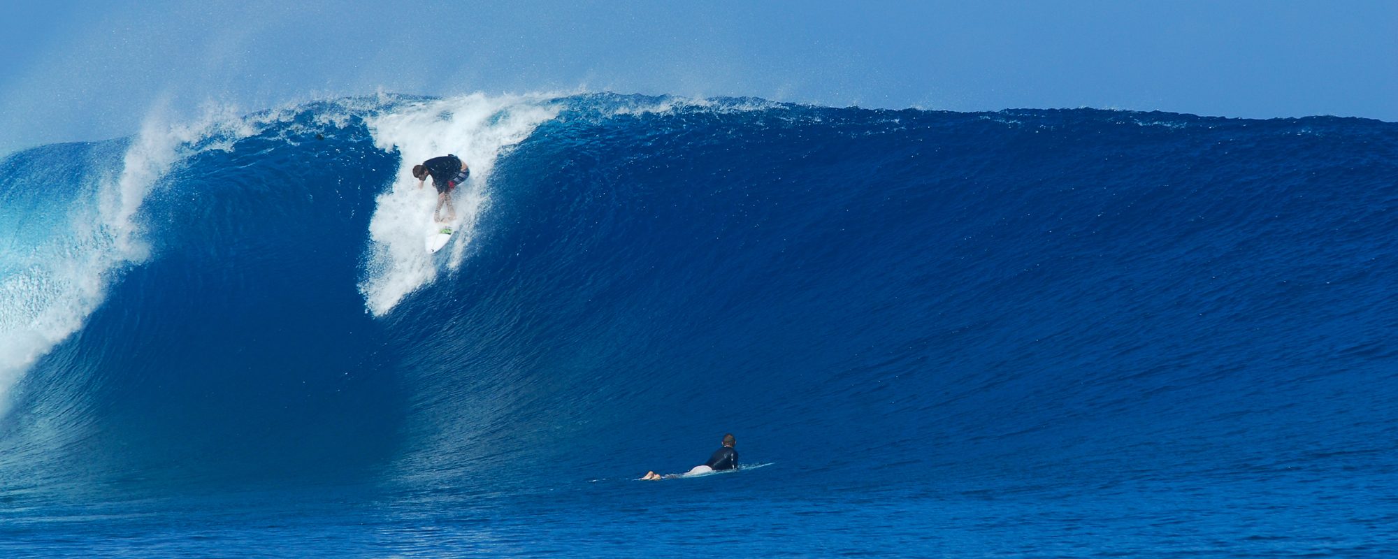
It was fun thigh to waist high waves at the pier today. Nice clean shoulders, with judgeable closeout avoidance possible.
Crowds were nothing at all either. Fun 2 hour session.
My apologies, on the hint of this substantial long period ground swell producing almost nothing though.
As I look at the 120 mile buoy and the moving topical swell chart, 2 things appear to be screwing things up. One, the swell isn’t one solid mass, it has a number of sections that make it look like Swiss Cheese, if you will. The second thing is, this Northeast cold front is producing such powerful offshore winds, that it is literally keeping the swells out there pushed offshore.

I know all this sounds anal-retentive, and that’s because I am, and I was a UCF Marketing Major who loved eingineering classes and taking Differential Equations, loves to surf , and does websites, go figure…
You can read the explanation of why I thought we would have nice fat waves Thursday, but I just looked at the wind forecast, and it does not change from NNW until 6 am Thursday, and then it goes North. So what I said below means that we may not have the waves until Friday, or late Thursday evening some time. It will be interesting to see how this plays out. Feel free to read the explanation below so that you’ll at least think I wasn’t on acid tonight, when you see the waves tomorrow (Thursday morn).
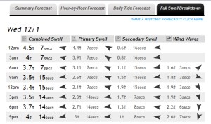
With that said, look at the first of the two images, and click on it to see the enlarged image above at the Full Swell Breakdown, compliments of MagicSeaweed.com, and you can see that the 1 st column is what all the data people say is the swell hitting the beach (not wave size, swell size). Mostly MSW, since they are the most accurate in forecast data. But the 2nd and 3rd columns, for say 12 noon Wednesday (today) would say that we have a nice swell hitting the beach, but column 4 is a significant wind swell created from the cold front 20 mph offshore winds, that is pushing directly against the Primary and Secondary swell.
But then, if you look at the Thursday chart, you will see the wind swell (column 4), is no longer pushing west but now NNE. That’s telling me that 8 or 9 hours after those little arrows turned NNE, the real swell should start hitting the beach. If not, then I’ll drink some Jim Beam, and go direct traffic on a busy street so I don’t lose my sanity.
Anyhow, with all this said, we should have some waist high waves to chest between Johnson or the pier, and bigger sets down south at the rock reef breaks in Satellite.
I’m done. Now for some dinner. Thanks for humoring me.
oldwaverider
