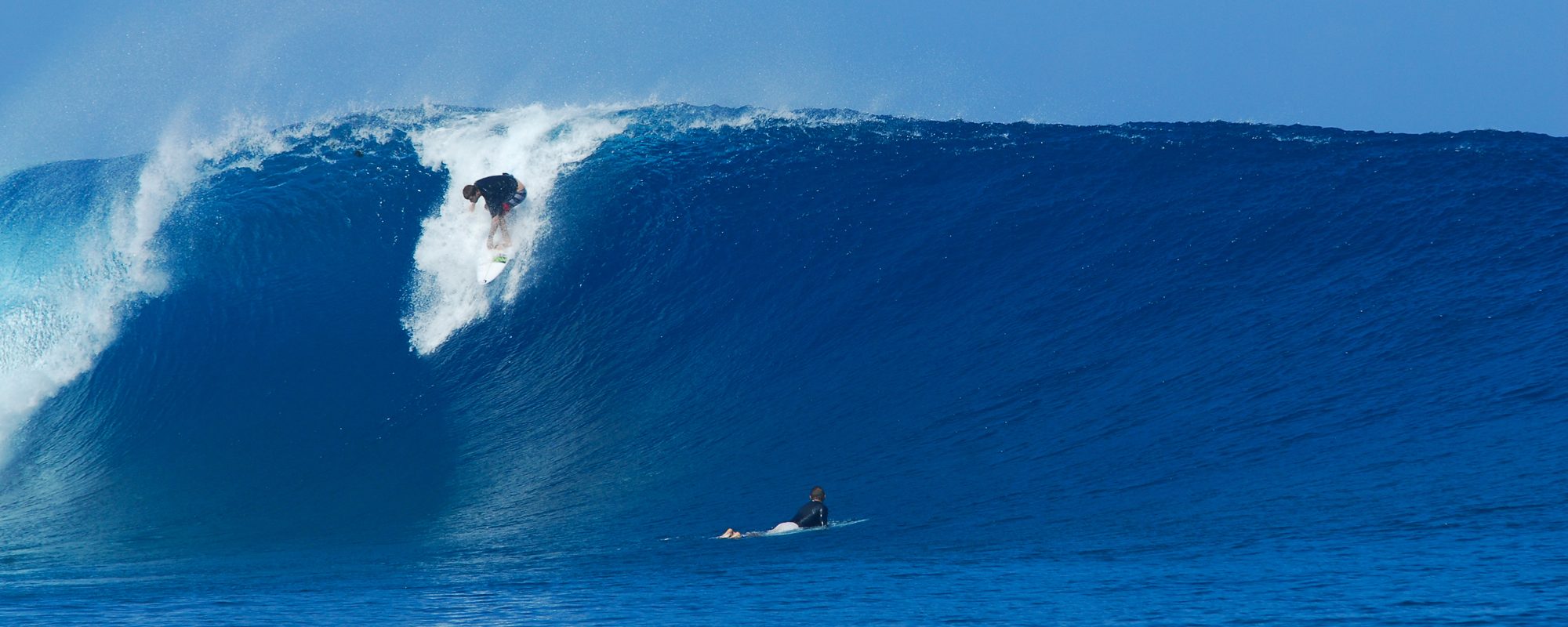
Katia getting close enough to start “guessing” the big and glassy days 🙂 Well, almost…
Our local windswell that will be coming in late Saturday afternoon will start bringing surfable waves for today and Sunday. Onshore, thigh to waist high plus stuff with onshore winds depending on the Cape or toward Patrick and Satellite Beach.
Monday and Tuesday, for 2 days running now show South winds as the Cane starts sending us chest high waves Monday on up to overhead waves by Tuesday, so this is Playalinda and Spanish House type wind. Offshore in both places. If you don’t want to drive, then surf anywhere south of 6th Street South and at least it will be 3 to 6 degrees offshore with direct South winds. RC’s and Hightowers it would be around 10 degrees offshore, and by the way, right now its only showing around 10 to 12 mph South winds so it could be really fun Monday and Tuesday.

WINDS ARE ALWAYS IFFY, AND THE BEST I CAN CALL ARE WINDS 36 TO 48 HOURS OUT ONLY. KEEP THAT IN MIND FOR TUESDAY ON, REGARDING THIS REPORT UPDATE !.
Wednesday morning, right now appears to be the biggest day, models of wind are too far out, but it looks to be SW winds and overhead waves, so down South could be epic. If you surf up North, with SSW to SW, you’ll be getting slight onshore to sideshore winds with a very slight offshore, but it wouldn’t be glassy.
Thursday morning, SSW to SW in the morning, head high, glassy down South and by late late afternoon, the winds start turning West so up North should be great by then.
Friday morning looks to be chest to head high an glassy everywhere.
The swell chart here even though it was placed in the style that it is on my favorite data house Magicseaweed.com, these are the same numbers that we see on Surfline, SurfGuru, Wavecaster, etc. They all get their data from NWW3 and GFS. But, MSW has their own programmers that bring the data with shoreline conditions, other storms affecting the storm we are tracking, and they draw interpolations from this with their own created models. To me they are hands down the best source of raw data interpolated. (my plug for MSW 🙂 But all the others still do a great job, and the most reliable interpretation of this stuff to give us user friendly reports over the years in my opinion is brother Ross at CFLsurf.com .
Anyhow, Katia swell models have dropped but it now looks like overhead surf that everyone can paddle out and have a great session/s.
The Stormpulse.com image here shows that Katia should be around 700 miles due east of us, which is less powerful than Bill, less than Earl, but still on track to give us multiple days of great surf.
oldwaverider
