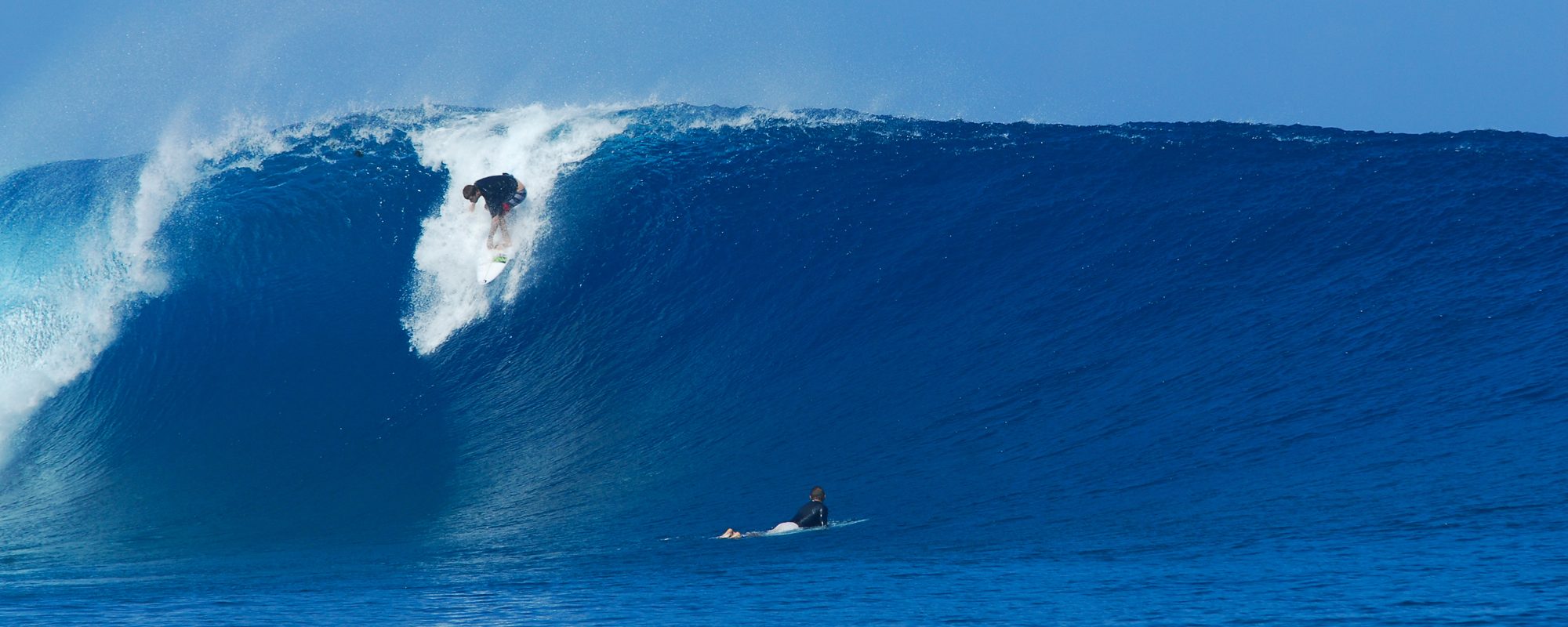
Tomorrow may even have a little more punch size for size. The size, well yeah that will be maybe a foot smaller. But Saturday till noon ought to be some solid waist high sets still on the sets. Winds more offshore, probably in the 4 to 8 mph NW to W back to NW, North, etc. 🙂 range. Possibly offshore till noon or so. Low tide is around 6 am, so that’s also working for us. Have an awesome Saturday ! The reason why it could have more punch to it, is the Fetch of this wind swell, which may have actually been out 800-1000 miles which is maybe why it looked like a weak groundswell today with the lines instead of peaks, but anyhow, the fetch moves North and gets a second on the swell period, stronger and thicker on the rim of the moving period chart, as it pushes closer to shore Saturday, then it did today.

